California, Section D: Interstate 15/Cajon Pass to Agua Dulce
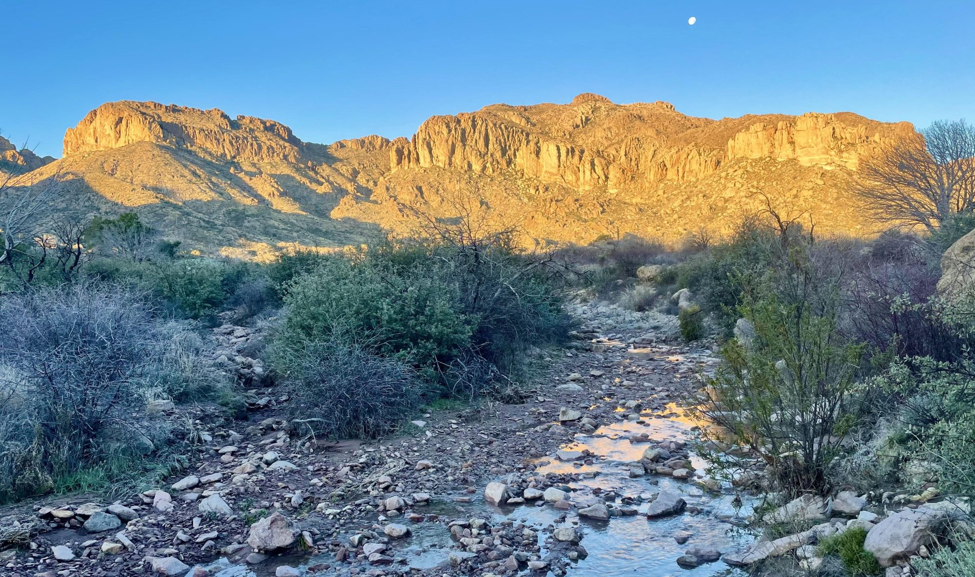
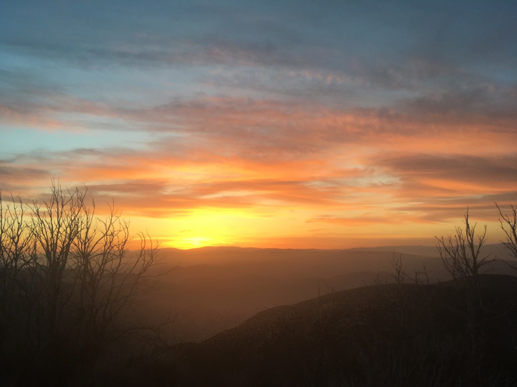
Charles and I are now 454.4 miles down the trail. We were both starting to feel the effects of all day hiking on this section, but we had many exciting moments none the less. The sky on this section was absolutely amazing.
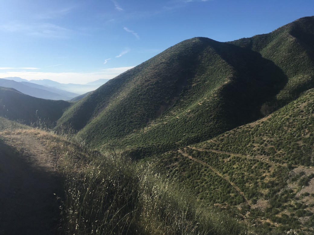
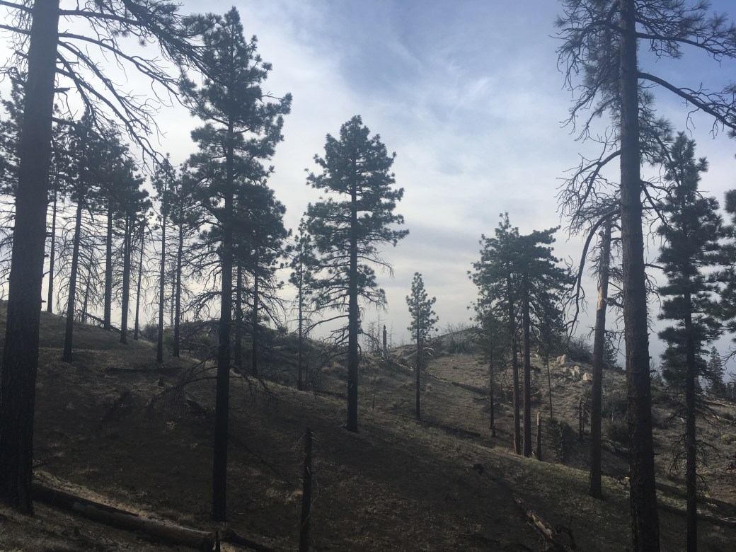
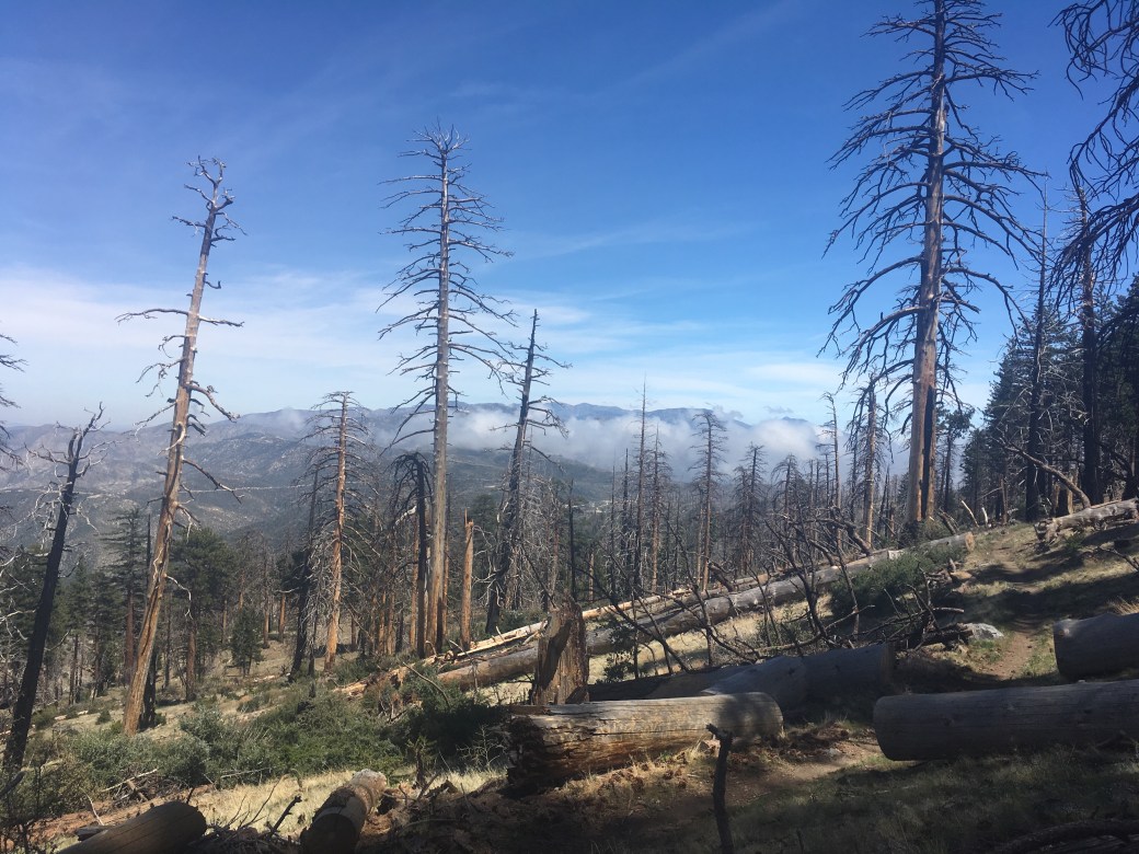
Day twenty-nine we woke up in our camping spot about five miles past Cajon Pass. We had a 4,649 foot climb over seventeen miles ahead of us. The hike started off in a burn area, which while warm, had many wildflowers and offered views of rolling green hills. We also finally encountered the notorious poodle dog bush, a poisonous plant that usually grows in burn areas in Southern California. This plant has effects similar to poison oak. Around lunch we were in the mountains and entered the Angeles National Forest. We stayed at Guffy Campground for the night. We considered hiking another two miles to Blue Ridge Campground to make one hundred miles in five days, but once we sat down neither of us wanted to move.


Day thirty we had an easy, five mile hike into Wrightwood. We caught a ride at CA-2 with a guy named Cowboy Sam, who often gives rides to PCT hikers. Hikers can either hitchhike into town from CA-2 or hike into town about two and a half miles from the Acorn Trail. Wrightwood is a small mountain town where hikers stop to resupply. Our plan was to stay for the day and leave late afternoon to hike several more miles.
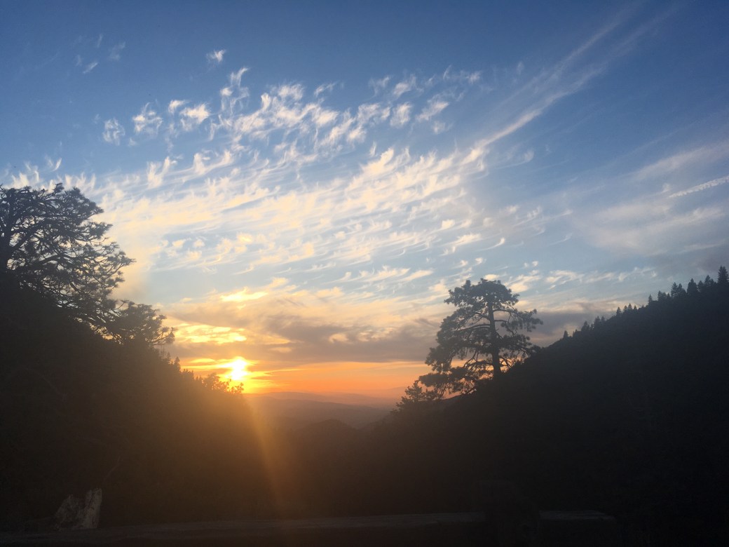
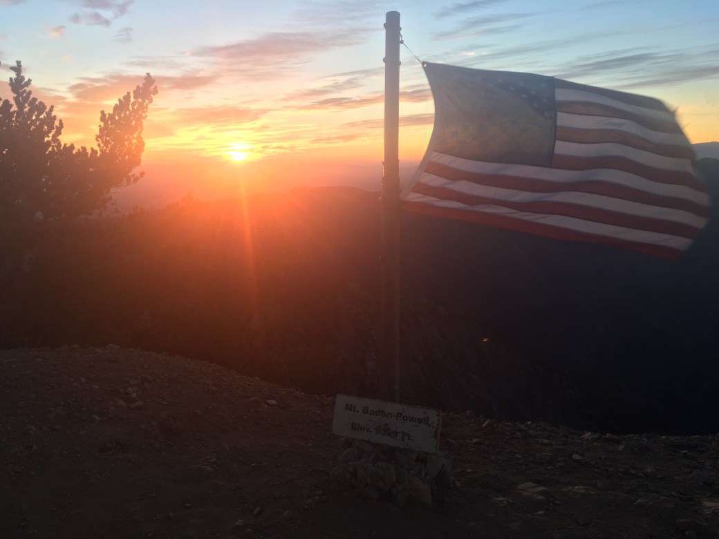
We stopped at Grassy Hollow Visitor Center for dinner and continued on another five miles. We had a gorgeous sunset and got the great idea from another hiker to sunrise Mt. Baden-Powell in the morning. We did some night hiking and finally found a spot to camp around 9:30.


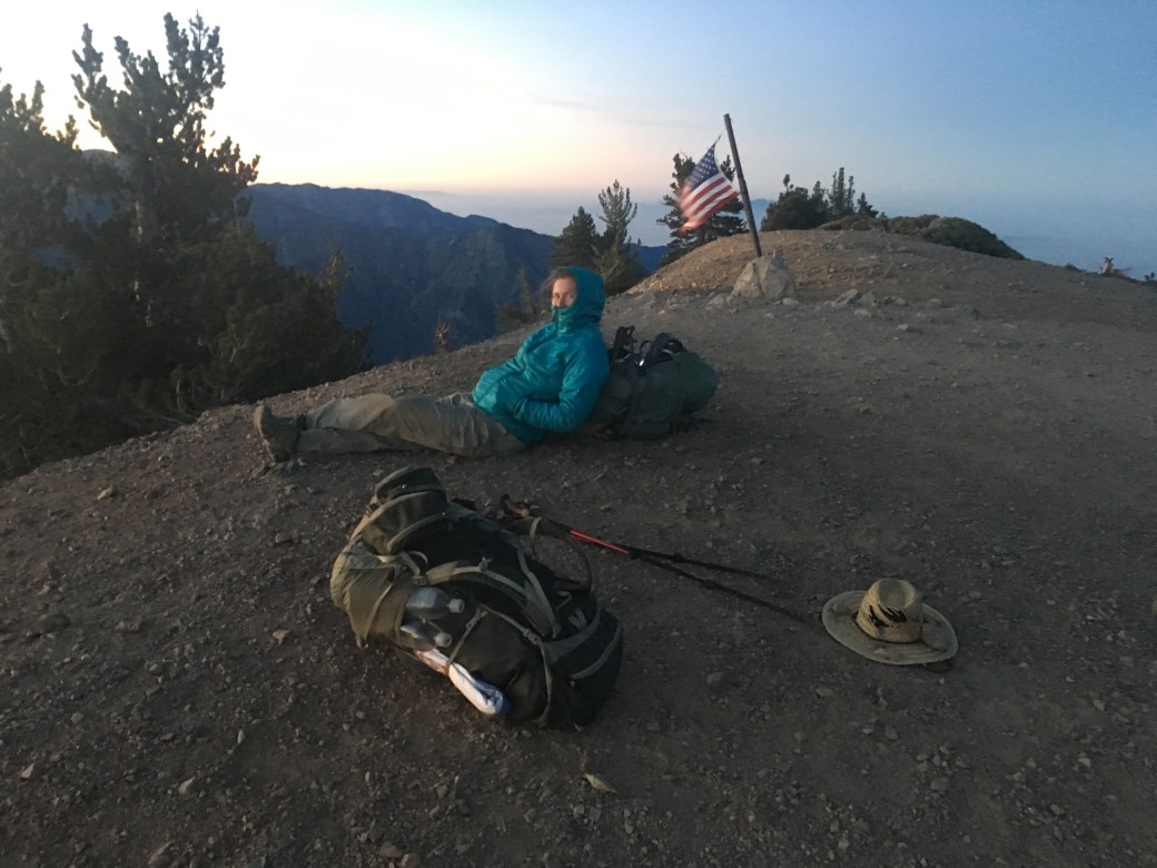
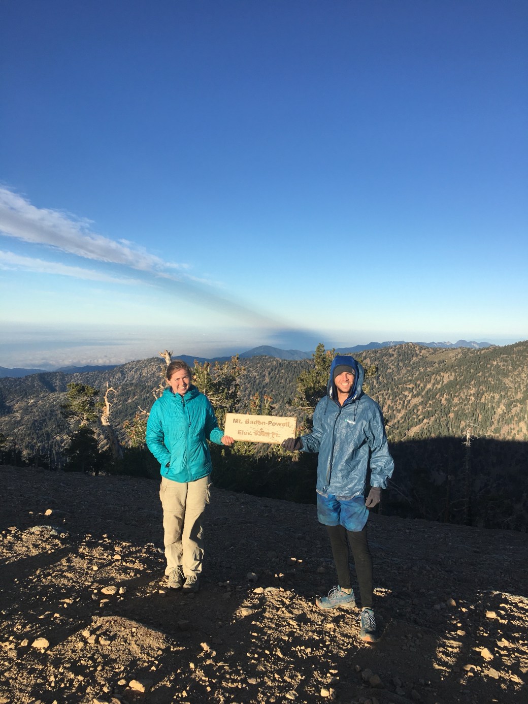
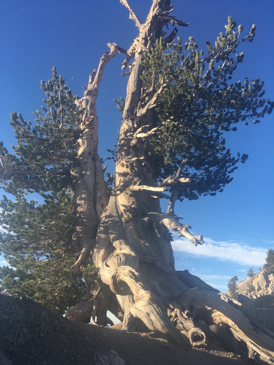
Day thirty-one we woke up at 3:45AM to hike the remaining two miles up Mt. Baden-Powell. At 9,399 feet, this mountain is named for the founder of Boy Scouts in the USA. My dad, a Scoutmaster for over six years, was disappointed to hear I did not remember this fact. We also saw the “Wally” Waldorf (a contributor to Boy Scouts) tree, a bristlecone pine over 1,500 years old. The sunrise was at 5:53 and it did not disappoint. After I took a forty minute nap at the summit we continued on for the day. We had a lot of up and down through Pleasant View Ridge Wilderness, which after so little sleep did not make for my best day on the trail.
In the afternoon we did a five mile reroute around the habitat of an endangered frog. Two miles of the reroute was on CA-2 and a couple stopped to give us peanut butter cookies! We went through Buckhorn Campground and took Buckhart Trail to rejoin the PCT. We camped for the night at Cooper Canyon Trail Camp.

Day thirty-two started off slowly. The hiking was still steep uphill and we were still tired from the day before. Charles took a nap at lunch while I started on my third book for the trip. We had even more uphill after lunch and eventually found a camp spot. We had another beautiful sunset.
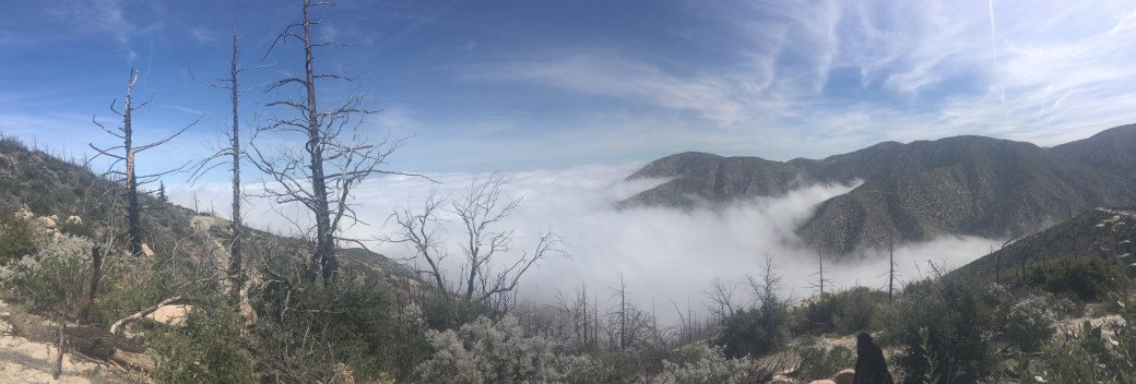
Day thirty-three we woke up to a spectacular view of clouds sitting low in the valley. We had a three mile hike to Mill Creek Fire Station to get water. We were about to leave when a trail angel arrived with lemonade (I will never turn down lemonade) and ingredients for sandwiches. We stopped to make sure Charles could get a National Geographic inspired photo with the clouds.
Later in the day, we hiked a section of trail that had been cleared of poodle dog bush by a group called Southern California Trail Gorillas. Before hikers had to take a detour to avoid the plant. At one point the side of the trail was a massacre of poodle dog bush. Toward the end of the day we were hiking in the clouds and the last two miles we were avoiding poison oak. We camped for the night at North Fork Ranger Station.


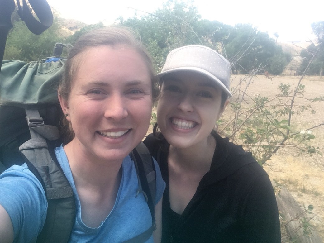
Day thirty-four we had an eight mile hike to reach a KOA near Acton. I was excited because Payton, my friend since third grade, was coming to visit us for the afternoon. We went out for lunch at Wences Bistro and Payton tried on my pack.
After she left we had another ten miles to reach Agua Dulce. Of course there was more uphill, but it was a cloudy afternoon which helped. We passed under CA-14 through a large tunnel. We also hiked through Vasquez Rocks County Park, which had some crazy rock formations.
We made it to Agua Dulce and waited at Sweetwater Farms for a shuttle that takes hikers to Hiker Heaven. Hiker Heaven is at the Saufley’s house, where hikers can stay for up to two nights. They provide laundry services, showers, charging ports, receive and deliver mail, and drive hikers into town. This is a very popular spot for hikers and has had up to 120 hikers staying the night. One of the volunteers here estimated about sixty hikers were staying the same night as us. There are also chickens here that roam freely on the property; they enjoy exploring tents. We decided to spend a night and half day at Hiker Heaven. After resupplying in the afternoon we will be on our way again.


Charles’ Section
This section kicked my butt. Long hot days in the sun back-to-back can really drain you. I had one of my hardest days on the trails where I couldn’t seem to get out of a funk. All day my attitude was in the dumps but a little bit of deep breathing and a heck of a lot of prayer is what got me through the day. The next day though, was by far one of my favorites. An easy morning hike, followed by food from a trail angel, followed by a stunning hike above the clouds was more than I ever could have imagined from the trail that day. Looking back I have a bigger picture of how I will tackle the next four months. Taking a step back and remembering the bigger picture will remind me that, wherever I am, whatever the weather is like, however hungry I get, it’s not the end. No matter how much it seems like things won’t get better, they will. Here’s to more miles and less blisters!
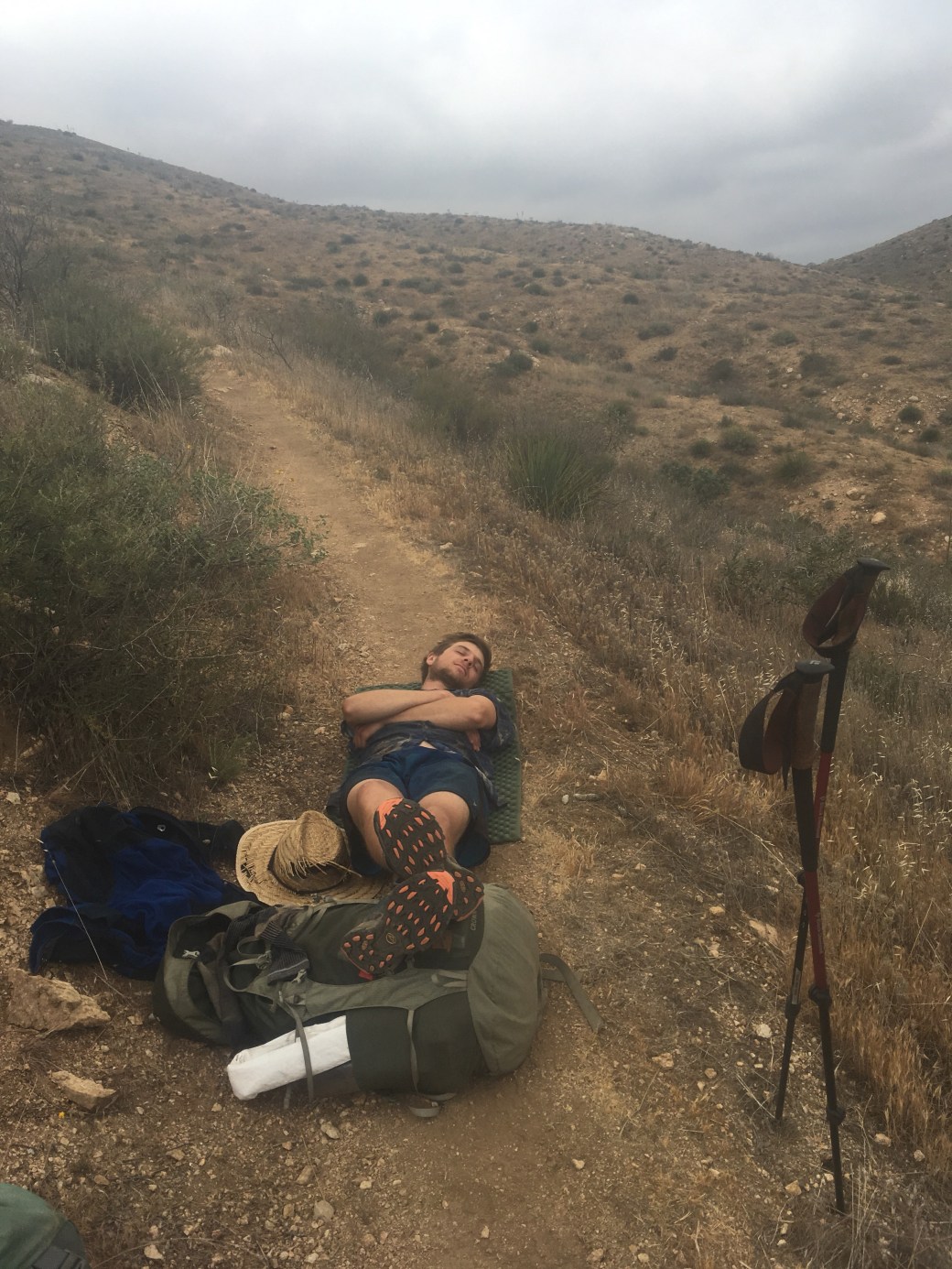
P.S. Yes, I did fall asleep like that in the middle of the trail.


