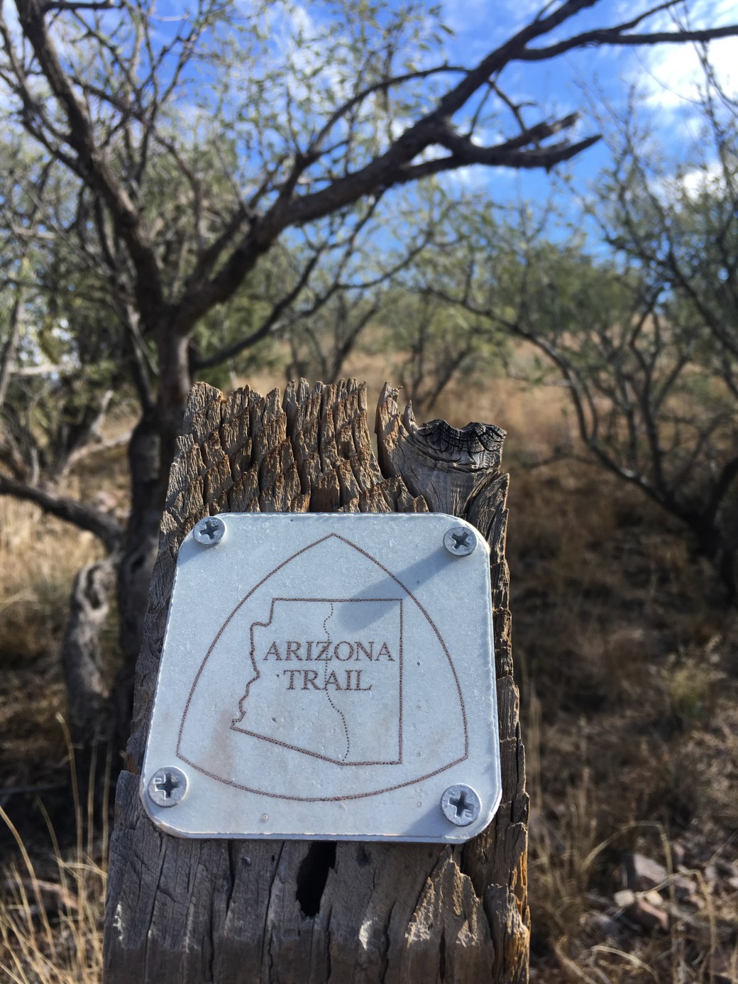
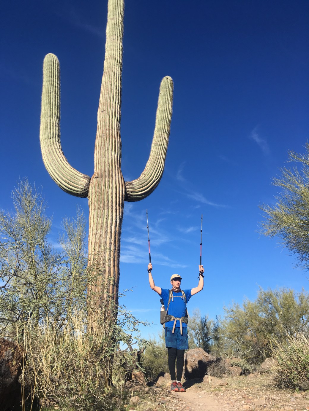
The original plan was to be done with the whole AZT just in time for the holidays. Due to the rain and my lack of enthusiasm to continue hiking by myself I’ve completed 510 miles on the trail, meeting the over 500 mile goal. I will finish up the remaining miles in the spring and after work in October, for a completion time of under a year (and technically fitting in the definition of a thru-hike, but I’m saying I’m section hiking now).
I had three hiking partners after heading back out again; my dad, Charles (my PCT hiking partner), and my brother all joined me for a section. I’ve split this post into three sections for each hiking partner. My dad hiked from Superior partway into the Superstitions, Charles hiked from Oracle to Superior, and my brother joined me from Sonoita to Vail.
Section 1: Dad- Superior to Montana Mountain (16 miles)
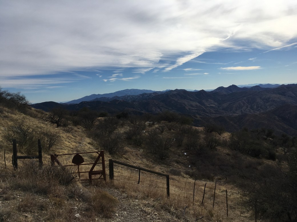
Dad left with me two days after Thanksgiving with the plans to complete the trail from Picket Post Trailhead to Sunflower, AZ. We planned to average 15 miles a day over about six days. Originally we planned to hike south bound, but the weather forecast showed potential rain all day around the time we would be in the Superstition Wilderness. The area the trail travels through is damaged from the Woodbury Fire this past summer and rain can cause more flooding and landslides due to lack of vegetation and hydrophobic soil. I also read comments on the map app, Guthooks, of hikers who traveled through the area just after the big storms saying the trail was badly damaged and the best option was to just walk in the creek the trail follows. We decided to hike north bound because we’d be out of the Superstitions by the time the rain arrived and if needed could spend the day at Lake Roosevelt Marina.

We hiked twelve miles the first day, which I felt a good pace for starting at almost 10:00AM. Since I’m usually hiking by 7:00AM, I felt confident three to four extra miles would be no problem as we progressed.
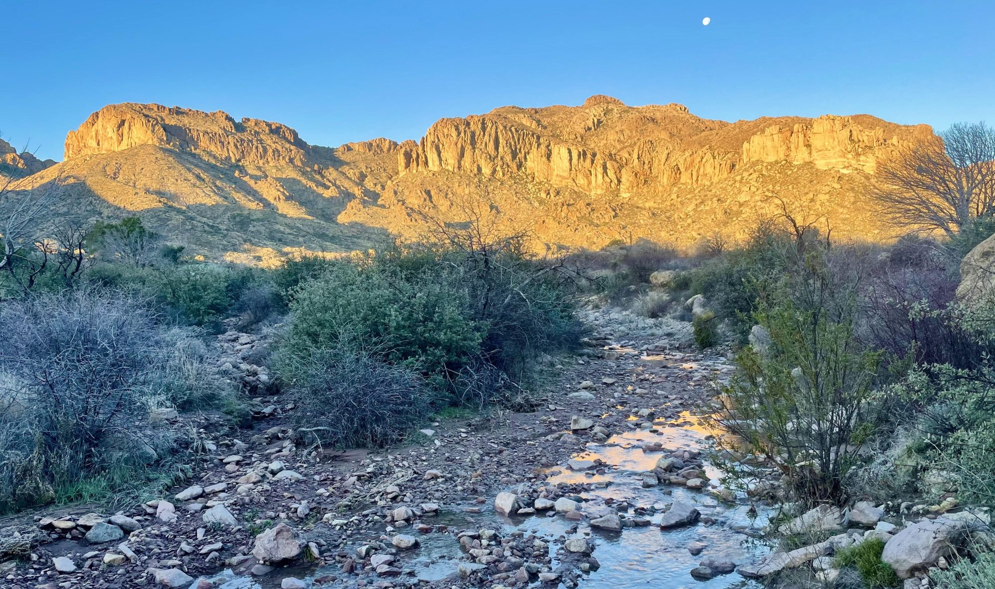
After the storms, the desert was full of water; multiple water sources that are usually dry were flowing and we even saw a waterfall in the distance. The desert may be harsh, but there’s a certain beauty be respected, especially during rare moments where water shines everywhere you look.

We got a later start then planned the next morning due to dad wanting adjustments in his packing strategy. We hiked four miles up to Montana Mountain by 10:00AM. At this point Dad was feeling uncomfortable about his capabilities to hike fifteen mile days for five days in a row. We could’ve dropped the mileage and just taken our time to Lake Roosevelt, but he was worried about getting caught in the Superstitions with potential rain, the trail mostly following a canyon, and it being advised from previous hikers to just hike in the creek due to the damaged trail. We already saw signs of trail damage and had to hike in the creek around a large, down sycamore tree. We also had a lot more uphill coming up (the Superstitions is rated difficult) and Dad just didn’t feel confident in keeping up the planned mileage, so he felt it’d be best to turn around.

We camped about seven miles from Picket Post Trailhead and arrived around noon the next day. Luckily we were about two miles from Rogers Trough Trailhead, so I have a drop off point in the Superstitions to finish the section in the future.


Section 2: Charles- Oracle to Superior (94 miles)
Charles only had four and a half days to hike with me and felt confident he could hike as much as we did on the PCT. At this point I also needed a successful and big mileage trip to raise my confidence. It turns out this trip was exactly what I needed to feel excited about the AZT and thru-hiking again.
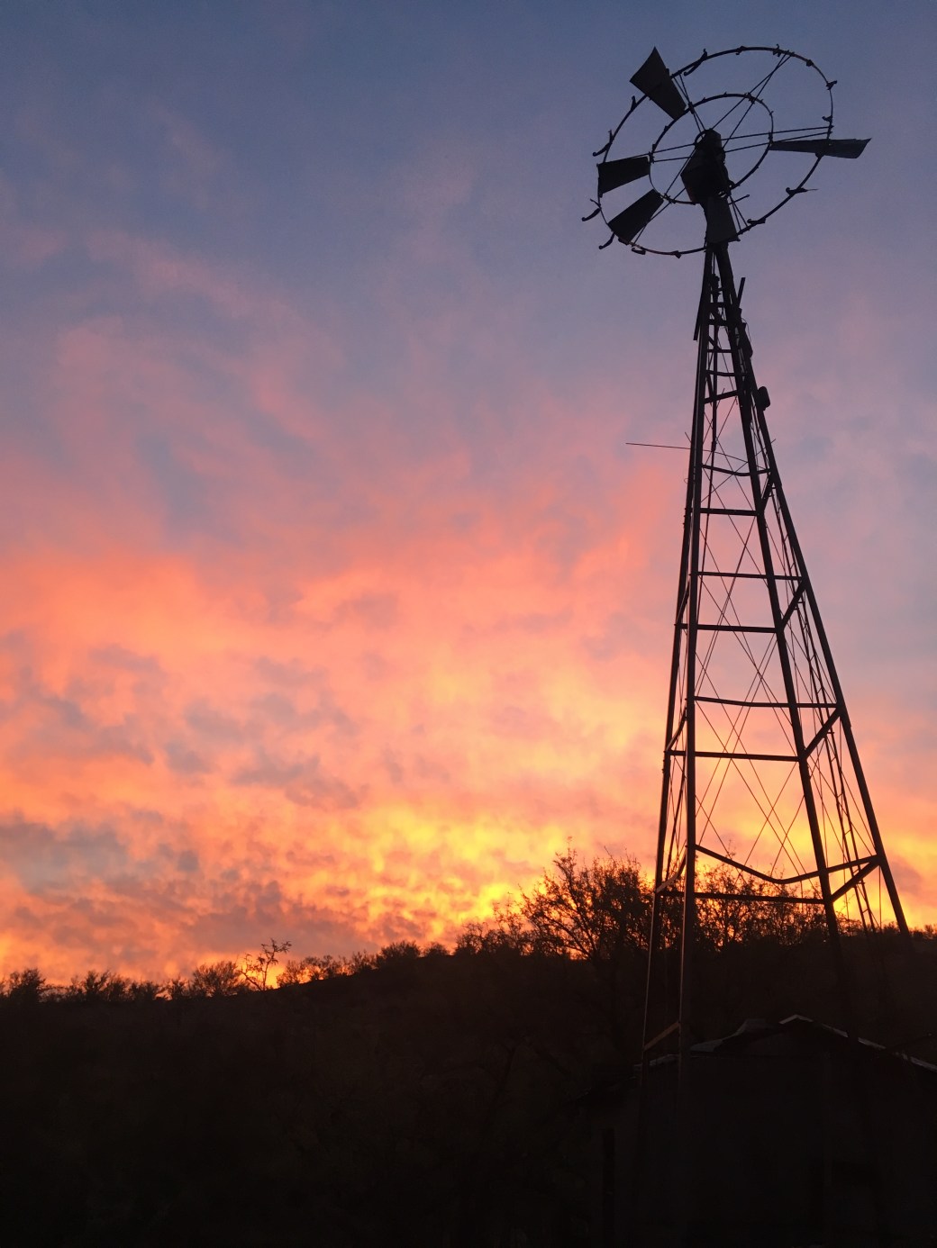
Charles and I started hiking just before 9:00AM from Tiger Mine Railroad Trailhead. We made it nineteen and a half miles for our first day and camped at a giant water tank and windmill.


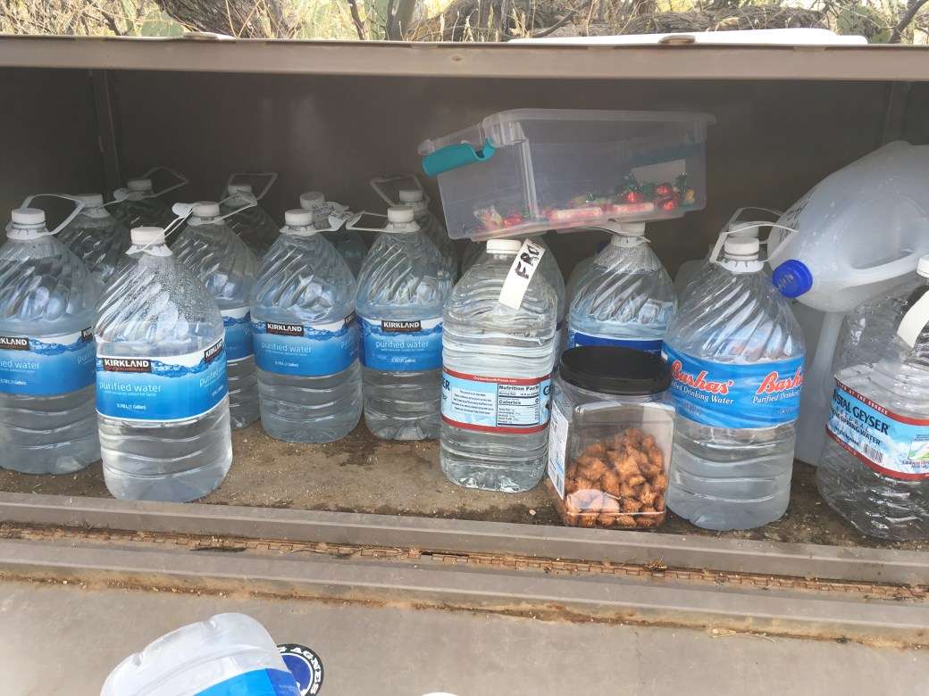
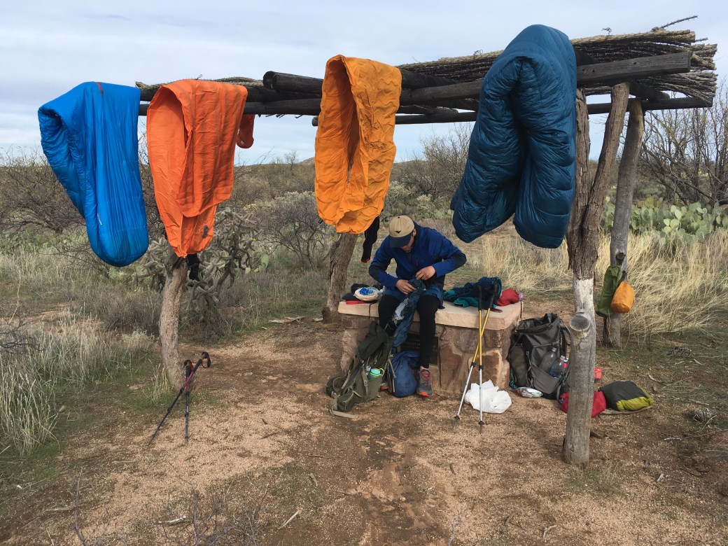
We woke up to our tents soaked and sleeping bags damp with dew; it was as if it had rained the night before. We had a beautiful sunrise in the morning as we hiked to find a place to dry all our gear. We stopped at Freeman Road Trailhead where we found a water cache, a box full of a candy, and a ramada to hang sleeping bags, sleepings, and tents. Leaving the trailhead we ran into two south bound hikers who started the trail November 11.


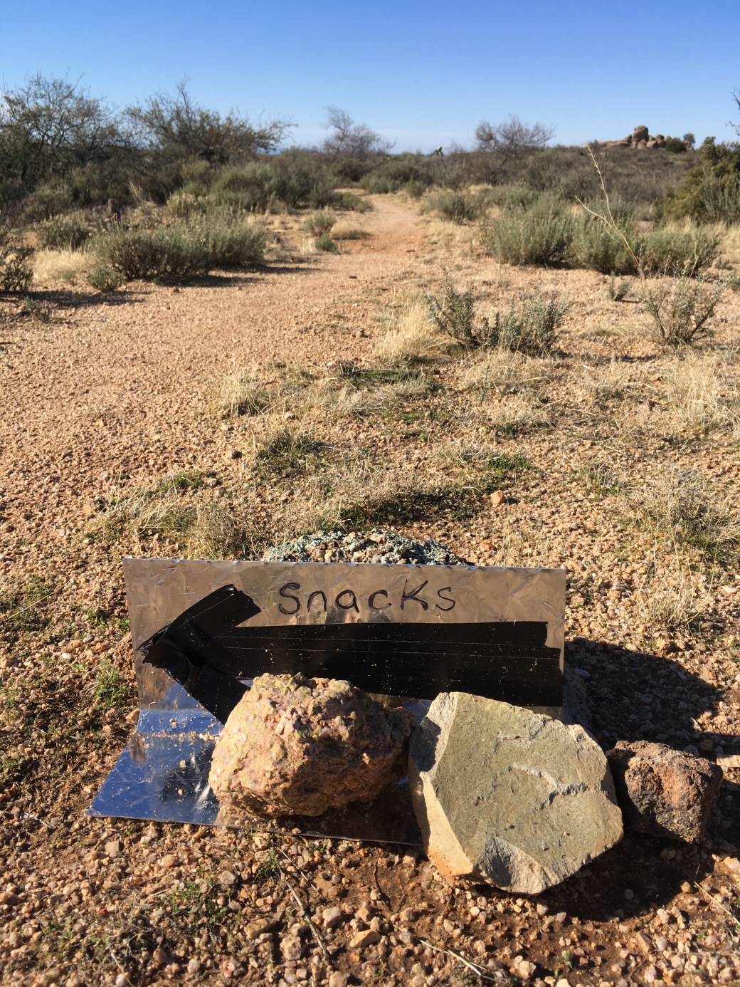
Later in the day we came across a small sign on the trail simply stating “snacks”, with a big arrow. We found a giant box tucked away in some boulders overflowing with all the snacks a hiker could want. Charles is starting to think I’m making up the trail being lonely and remote since we’ve run into two hikers and received trail magic twice in one day.


Luckily our second night was a little drier due to a light wind blowing throughout the night. We started our third day with the moon full and detailed in the sky.

We very briefly entered the outskirts of the small town of Kearney to fill up on water from a tap. We also passed two men backpacking a small section of the trail with plans to end at the Gila (Charles definitely thinks I making everything up now).

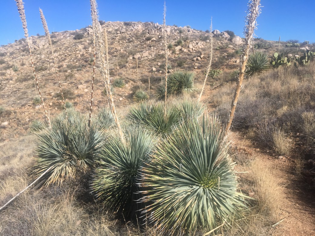
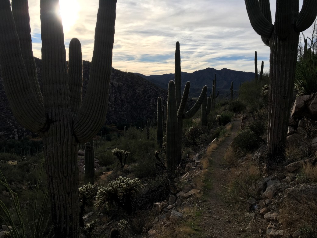
At this point the AZT joins the Gila River. While hikers can’t always see the river, one can follow it’s path from the trees that line it’s banks. We were extra lucky to see the trees in fall colors, forming an orange and gold path that winds past the saguaros. The trail goes up and down from one high point to wash to next high point for almost fifteen miles next to the river. Poor Charles at this point was a bit sore from jumping back into hiking like a thru-hiker and was not enjoying the constant elevation change.

We had a cramped camping spot and decided to cowboy camp. The night was windless, thus we woke up in the morning to everything soaked in dew. Again.
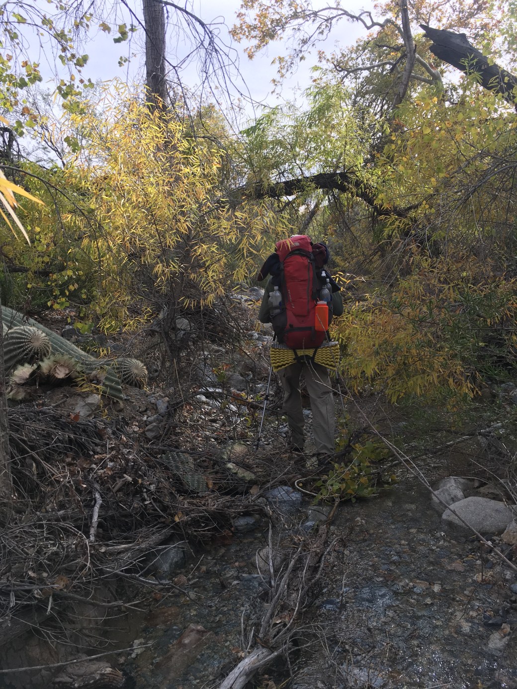
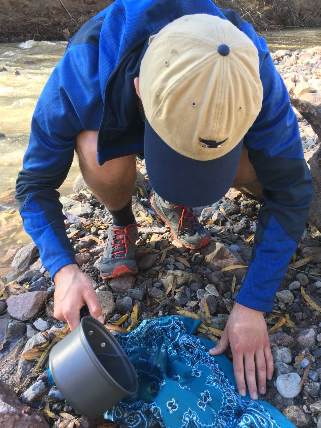
Our fourth day had to be our highest mileage day (twenty three and half) to set us up for a mid morning and low mileage morning the next day. We had to use the Gila as one water source before heading up a big climb, the main part of our day. The Gila is a very silty and requires a pre-filter before the actual filter. I promise I did help Charles filter the water.


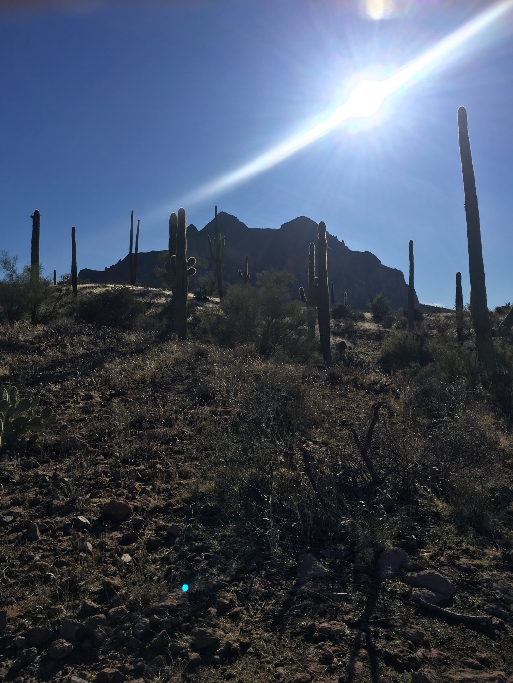
Leaving the Gila River, the trail climbs up through Alamos Canyon. While we had about twelve miles of uphill, this is section is what I had been waiting for on the trail. I honestly didn’t know what to look at, I was so amazed by the classic desert scene. I eventually had to stop taking pictures because none of them accurately captured how it felt to be on the trail. The trail also followed the contours and drainages of the mountains as you gradually hiked up, reminding me of the PCT. We could look back at a piece of trail we’d been on about an hour or two before.


Just below the high point of our climb, we ran into another man backpacking. He started his day at the end of the Gila. We also ran into a couple (both also hiked the PCT) just a few hundred yards past him taking their baby for his first backpacking trip. By this point Charles thinks I’ve orchestrated this whole sob story just to get him to hike with me.
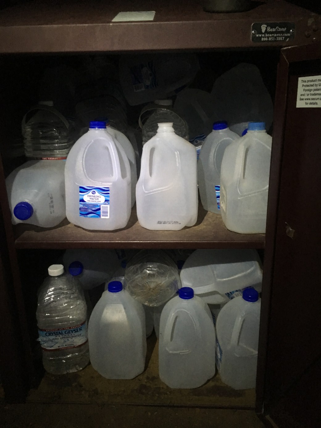
We camped our final night next to a well stocked water cache with over twenty gallons of public water put out by trail angels. We hiked seven and a half miles to Picket Post Trailhead for our morning pick up. To finally confirm Charles’ suspicions, we received some cupcakes and muffins from some Forest Service workers doing some maintenance at the trailhead.

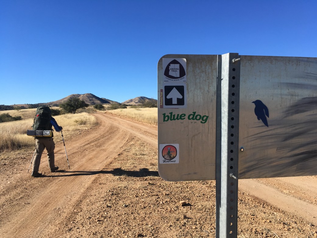
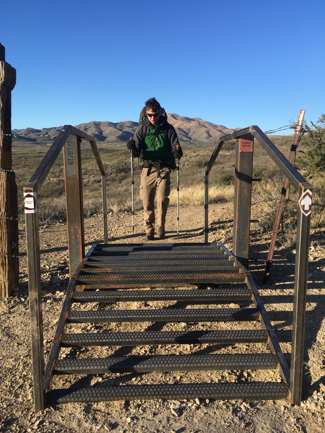
Section 3: Garrett- Sonoita to Vail (40 miles)
Hiking with Charles put me at 470 miles. That number just didn’t sound as good as 500 miles, so I dragged my brother out for a quick two and a half day trip through part of the Coronado National Forest.
We didn’t start hiking until after noon, but we still managed over ten miles in the afternoon. We went through Kentucky Camp, a restored mining camp with multiple buildings that is available for people to stay. It’s suspected that many of the workers for the mine were from…Ohio. I’m kidding, it’s Kentucky.

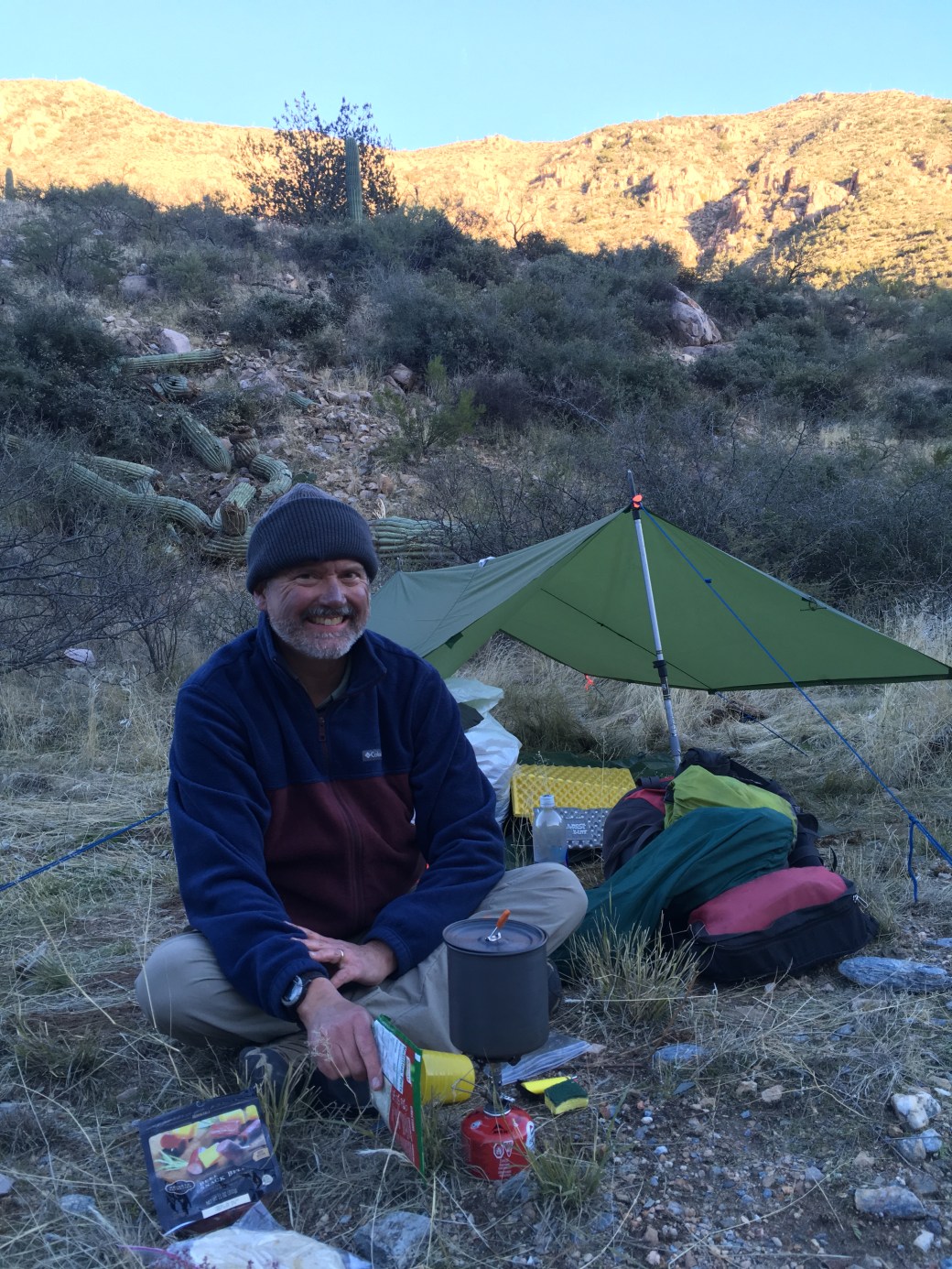
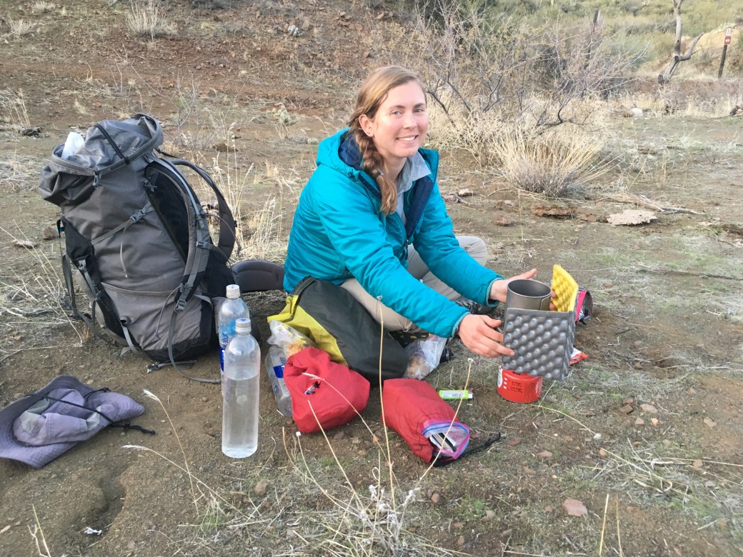
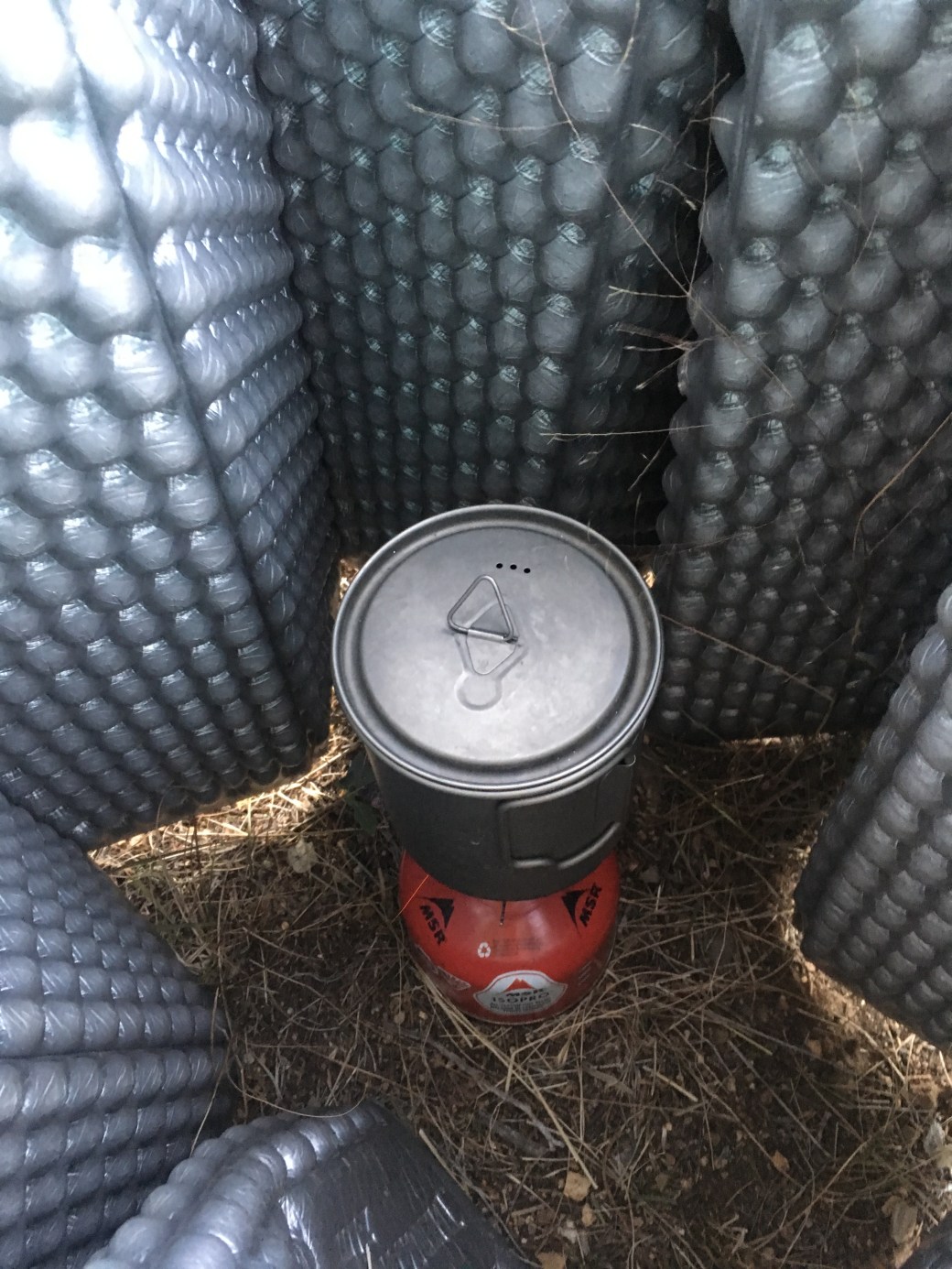
Our first night was miserable. Arizona was having a wind event and our area was getting winds averaging twenty miles an hour and pushing almost thirty at night. We cowboy camped to avoid the flapping of tents, but the howling wind kept us up anyway. Cooking dinner was a two person job, with one person holding Garrett’s sleeping pad around the stove to protect the flame and the other tending the pot.
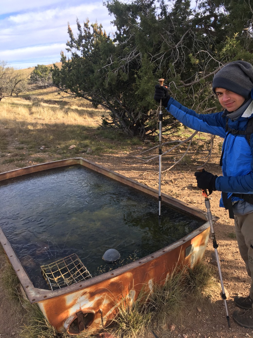
The next morning was just as cold and windy. We came across one metal tank with water completely frozen on the surface. We were able to break through the ice by throwing rocks at it. In the morning we arrived at a small, private water cache we put out the day before, just to insure we had sufficient water.


We ended the day after sixteen miles. Our campsite was much lower and had better wind protection. We cowboy camped again and a light wind kept our gear dry throughout the night.
The next day we had twelve miles of relatively flat hiking to arrive at Gabe Zimmerman Trailhead. We crossed under the I-10 and were surprised to find some fun art on the other side. Garrett was pretty happy to be done walking and felt sore for the next couple days.


It’s not what I wanted, but I’m satisfied with where I ended before the holidays. I can’t shake the nervous feeling before leaving for each section, but I won’t let stop me from finishing the trail in less than a year.
If this trail has taught me anything it’s that you don’t give something up just because it’s difficult and for me the AZT is difficult. Physically I’m a very capable backpacker. I’m built for endurance and I’ve become very efficient in my packing strategies and camp routine. Mentally, as a solo hiker, I need some work and this I find a much harder problem to face. To take a critical look at my personality and how I’m wired to conclude why I didn’t reach my original goal is no easy task. I’m still working on rephrasing this new plan as a success instead of a failure and I still inwardly cringe when I explain to people why I’m not done (not that you shouldn’t ask! I love talking about my trips). And I’m learning that if something doesn’t work in one way then make it work in another way. That being said, I’m so grateful to all my hiking partners I’ve had on this trail that have helped me make it work another way.
There will be more posts as I finish up the AZT, just not for awhile. I love hiking, but I have other things I’m ready to start focusing on. I got hired on a hotshot crew for the summer (my goal since probably sophomore year of college) and I need to start putting in the training to be prepared for work.
My next post will probably be in the spring. I hope to have everything completed from Utah to Oracle before work starts. That will include finishing up the Mazatzal and Superstition Wildernesses and hiking from Sunflower to Lake Roosevelt. Until then though you’ll probably find me hiking short distances for speed and carrying capacity, maybe even on the Arizona Trail.