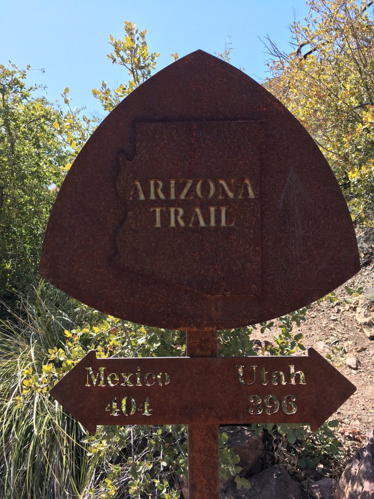
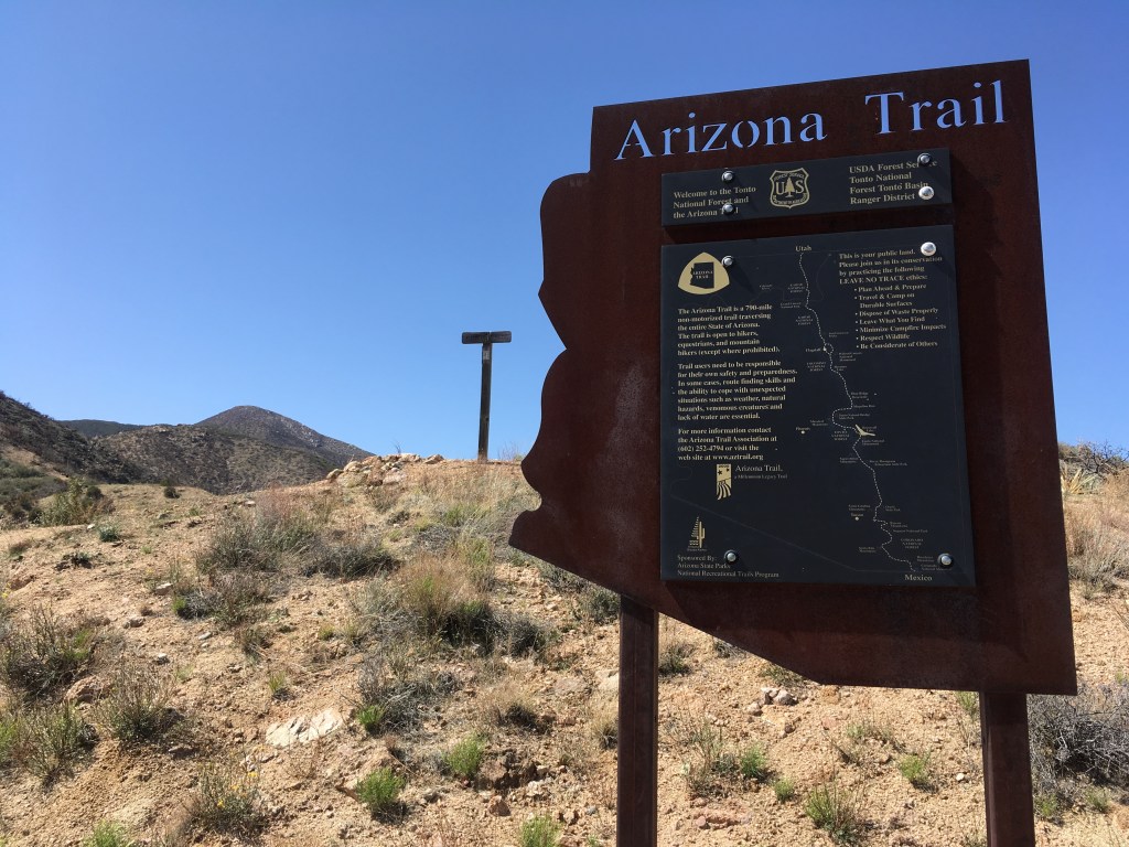
Vineyard Trailhead to Rogers Trough Trailhead– January 7-9, 2021- 29 miles
I hoped to hike more of the AZT after the 2020 fire season, but unfortunately many of the sections I had left to complete burned that summer. I also wasn’t feeling confident enough yet to try the Mazatzal Wilderness solo again. I considered just starting over, but decided that section or thru-hike, I’d eventually have the entire trail finished, so no need to potentially bang my head against the wall in a second thru-hike attempt.
Sometime end of December I began to feel more inspired about returning to the trail. I decided I wanted to make section attempts in January and March. My schedule at work just happened to line up perfectly one week in January and I was able to plan a semi spontaneous trip through the Superstitions section with my brother. This seemed like the best way to ease back in backpacking as we’d only be out for a few days and only traveling about thirty miles.
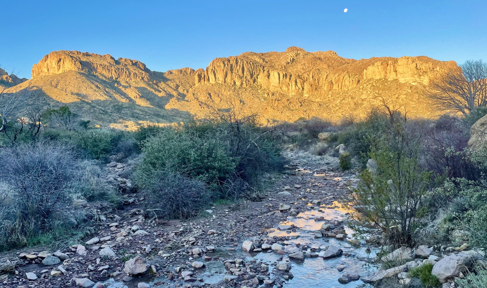
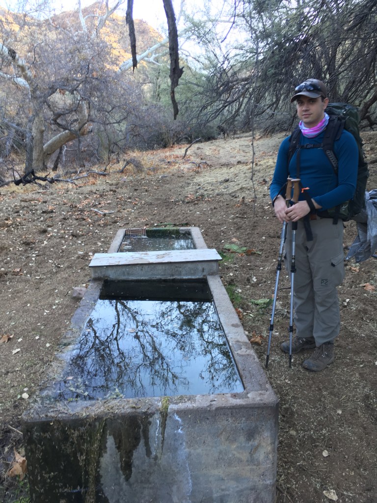
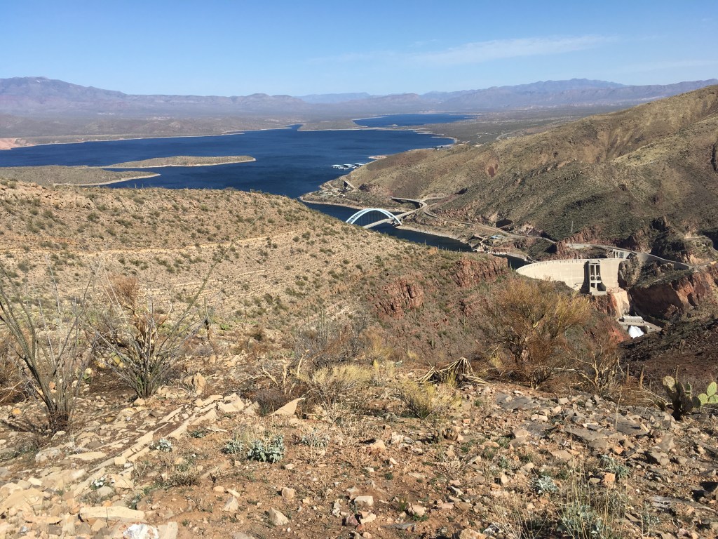
We didn’t start hiking until almost 2:00PM on the 7th, due to Garrett taking care of some enrollment activities for ASU. Vineyard Trailhead is just on the edge of Roosevelt Lake and from there the trail almost immediately crosses Roosevelt Bridge. The trail then leaves Highway 188 and winds it’s way through the mountains next to it before departing to the south and away from Roosevelt Lake Marina. Before entering the wilderness area the AZT uses of mix of steep dirt roads and trail. We met a few, four hooved friends near a cement water trough that seemed a little unsure about what to make of us.
We made it about eight miles before camping near Cottonwood Spring. I read of hikers having problems with cows showing up in the middle of the night at this spring, but thought nothing of it. Right before going to bed, Garrett walks back to our camp claiming to hear something breathing. I walked over to the wall of brush and also heard heavy breathing. Not much we could do at that point in time, so we did our best to ignore the rustling and go to sleep. The next morning we found the source, a confused cow less than a quarter mile from our camp.


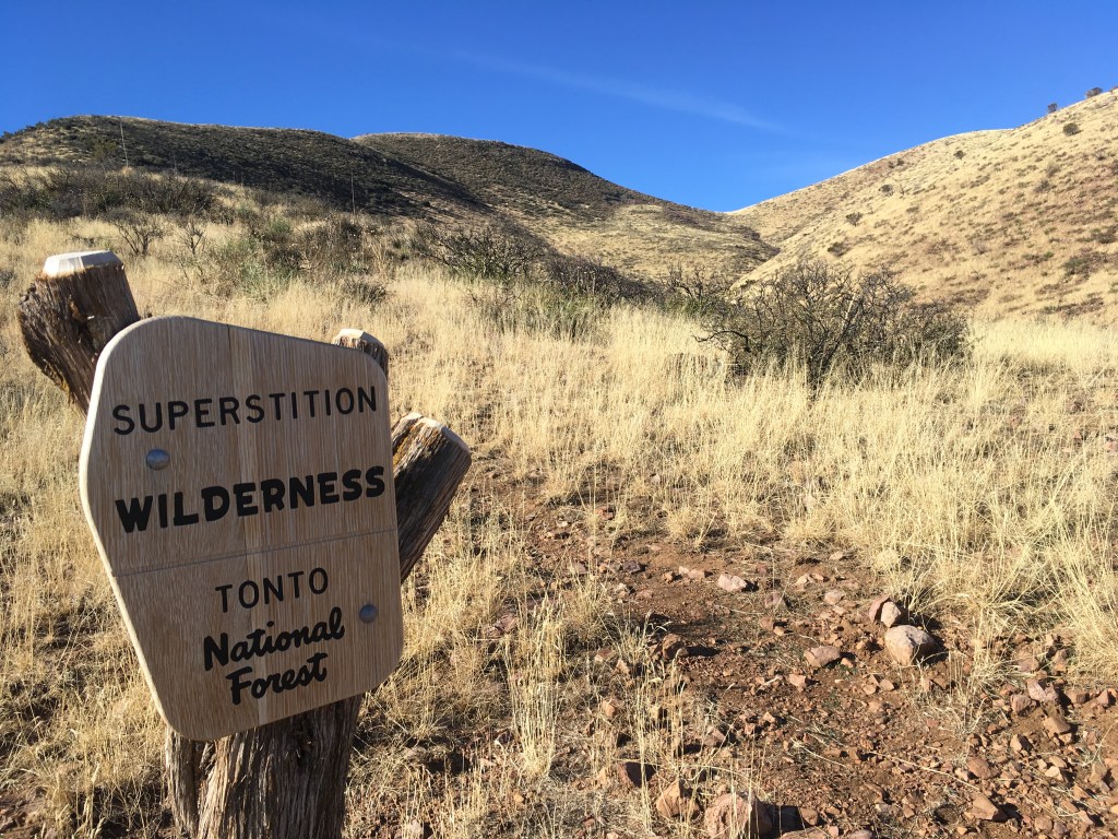
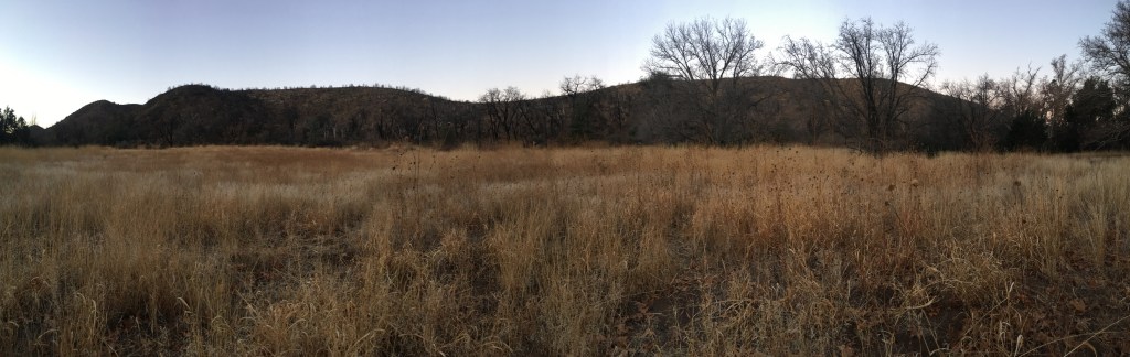
The next morning we had fifteen miles and quite a bit of elevation to hike. The Superstitions section of the AZT is rated “difficult” and is one rating that I agree with for this section of trail.
We met one other hiker in the morning around when we stopped for breakfast. The trail in this area has been redone to move previous trail on dirt roads to actual trail. Unfortunately, some of the signage is still in place for the old trail. I had only quickly glanced at the map and assumed we would be following the old trail and thus told the hiker so when he asked. He took off about ten minutes ahead of us. We hiked for about five minutes before I realized we were on the wrong route and backtracked to the correct turn. Luckily, the old and new routes parallel each other, so the other hiker made it to right location.
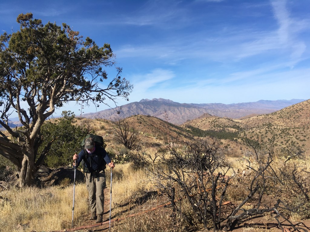
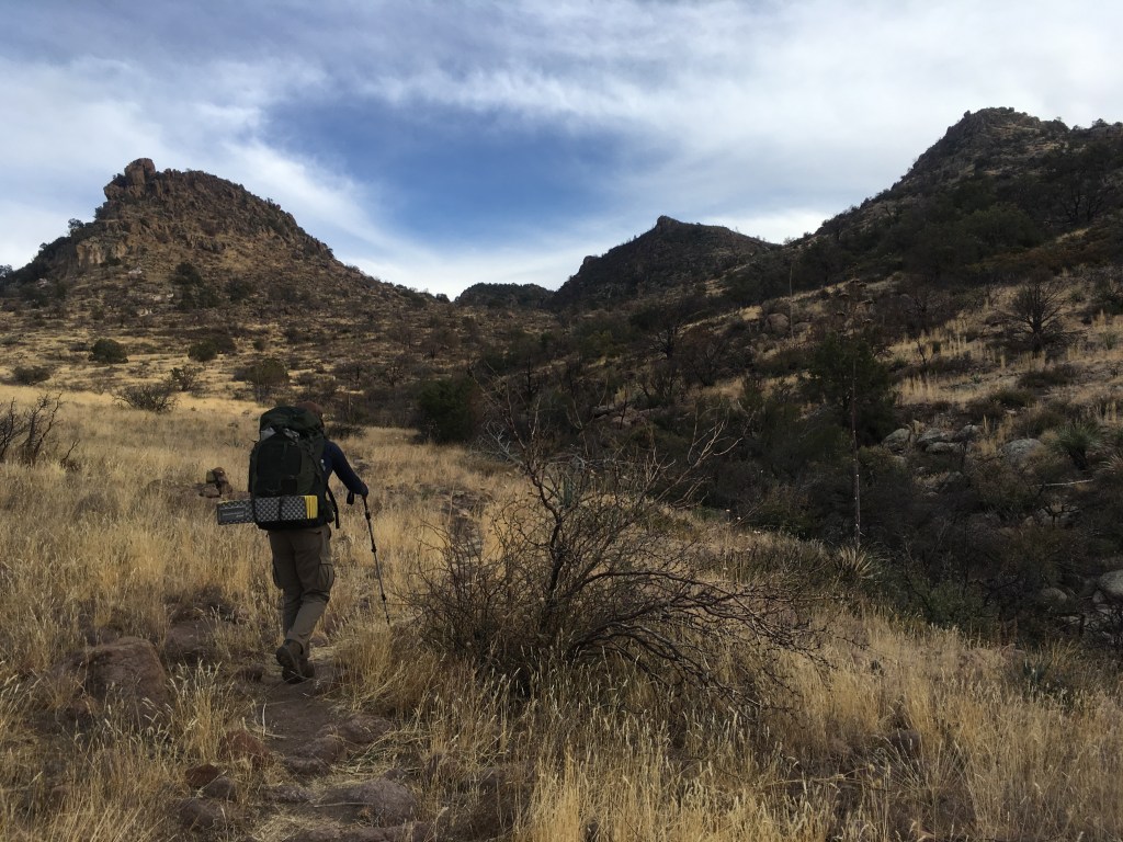
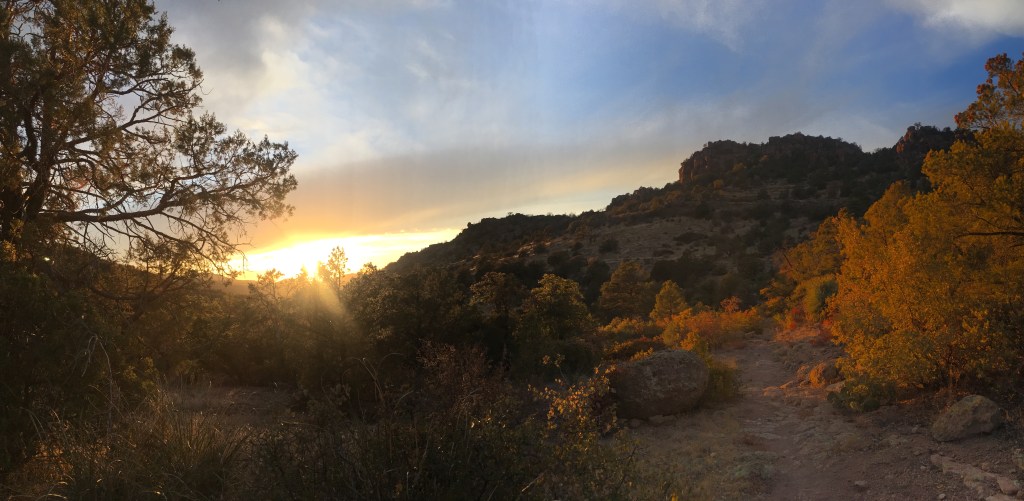
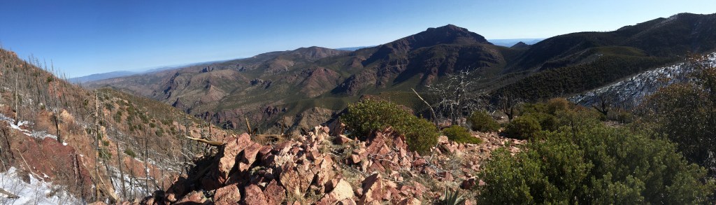
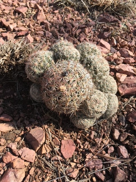
We hiked on a few more roads in the morning before making the climb up to the Superstition Wilderness. I’ve spent a lot of time at the lower elevations in the Superstitions, so being a couple thousand feet higher took us to landscapes I’d never associated with the Superstitions area. The trail took us through some pine forests and more of a pinyon pine/juniper with grass landscape. The tops of Four Peaks are just visible to the north.

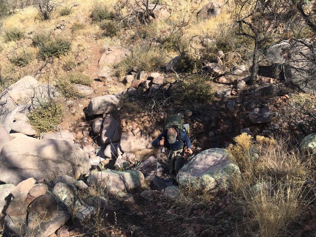
This section also shows more evidence of the Woodbury Fire, that moved through the area in June of 2019. In addition to burned tree skeletons, erosion on some parts of the trail is a bit more extreme. A few drainages have steep drops and climbs with large boulders clogging them. The trail in this area has been fixed by AZT volunteers, but it’s some very steep trail that Garrett was not overly happy to climb.

That afternoon saw the greenest water source I’ve ever come across. Other hikers will agree that while Walnut Spring may be green, at least it’s cold. I’m not sure I’ll ever think that positively of the spring as I spent a lot of time cleaning out our water filter.
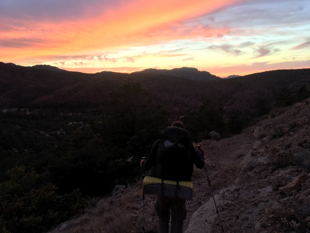
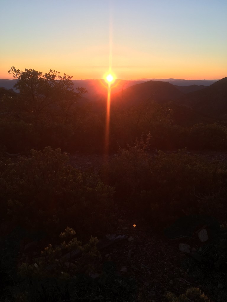
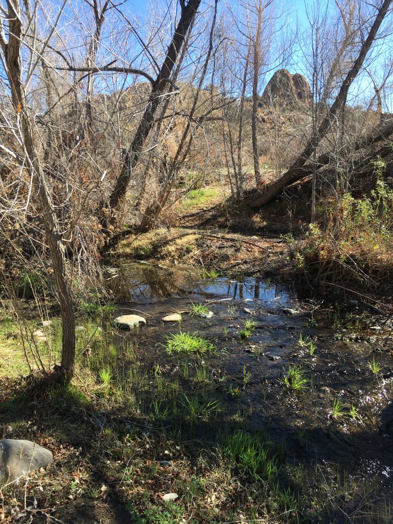
We had one final climb in the evening that left us descending to camp in a beautiful sunset. We camped for the night near Reavis Creek in much colder weather than the night before.

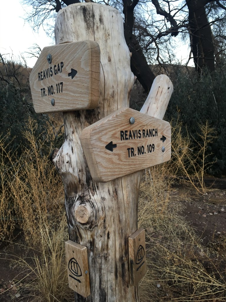
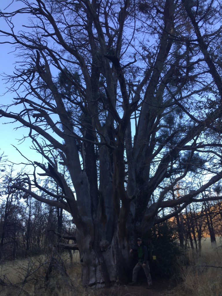
Our final morning was cold and Garrett unfortunately forgot to pack gloves. Not that my gloves helped a whole lot, as Garrett had to unwrap my breakfast snacks for me. We got an early start to make it to Rogers Trough late morning. The trail took us by some remnants of Reavis Ranch, but we didn’t stop long as we were hoping to find somewhere with sun for breakfast. We passed through a few patches of ponderosa pine that survived the fire and the largest juniper we’ve ever seen!
City Creek Trail Junction to Vineyard Trailhead– March 18-21, 2021- 85 miles
I knew I wanted to try solo backpacking again, no matter how nervous it made me. I also knew I wanted to attempt my return to solo backpacking in the Mazatzals to help ease my fear of the area after the last time I was solo in the area. The trip with my brother in January left me excited and confident about the AZT, so in March when my schedule lined up again I made the decision to give the Mazatzals another go. I’m very happy that I did.
When I left the Mazatzals I took the Doll Baby Trail out which is about four miles. I would’ve had to re-do about twelve miles before reaching trail I hadn’t hiked yet. Instead I found the City Creek trail, which is about six miles and joins the AZT about a half mile north of where I finished.
I was heading south when most thru-hikers are heading north. While I knew the hiker number would be higher due to the time of year, I was surprised by just how many hikers I saw throughout the day. I usually saw ten or more hikers each day, but they were spread out enough by a couple miles that you’d think you were hiking alone.
There was also a lot of water sources not marked on the map that were flowing. One spot had two waterfalls!
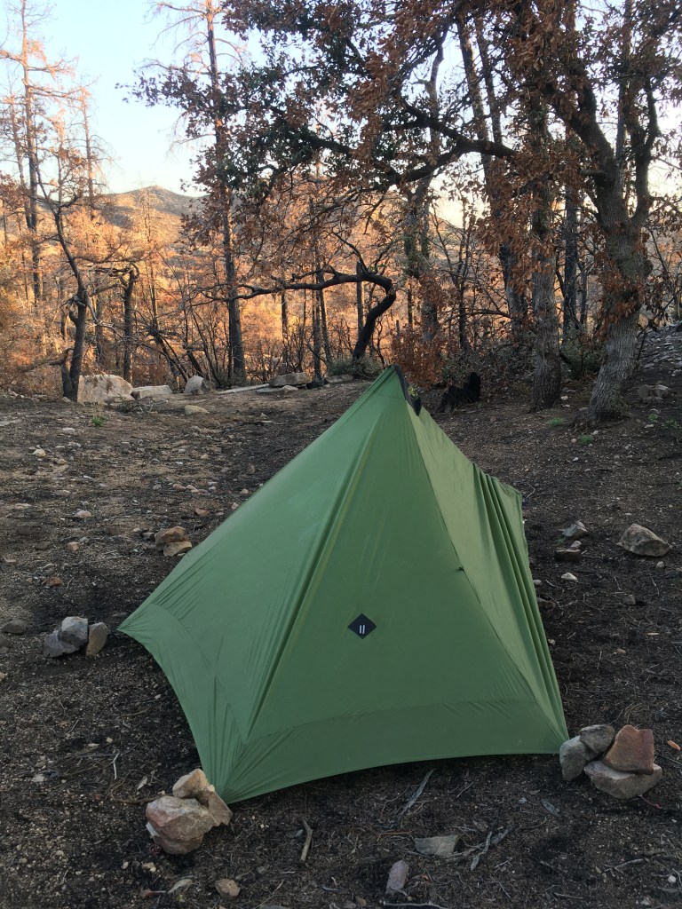
I spent my first night at an exposed site in view of Suicide Ridge. I enjoyed an early sunset and a thankfully windless night.


The next morning showed why I’m happy I gave the Mazatzals a second chance. The mountains are the prettiest purples and greens I’ve ever seen. I traveled through lingering patches of snow, but nothing unmanageable. The snow was only several inches at it’s deepest and I followed the footprints of previous hikers.
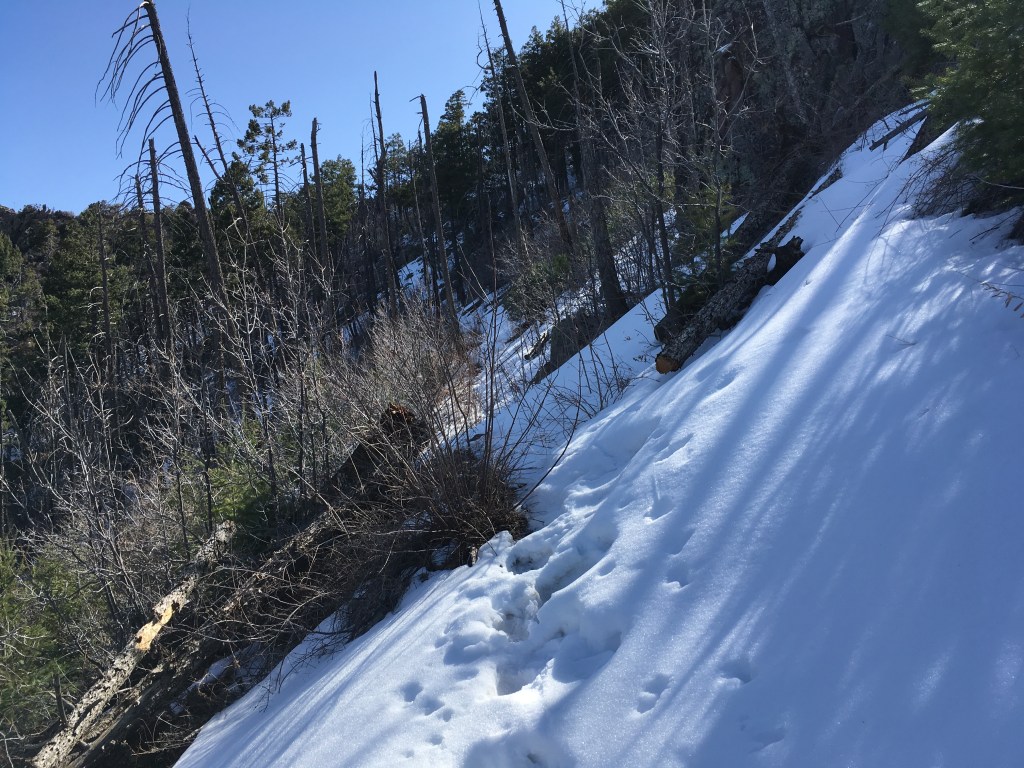

Seeing a decent amount of snow in late March also finally eased my mind that I made the right call the previous November when I got caught in the start of a three day rainstorm. I spent everyday from the moment I left the trail until I returned wondering if I made the right choice. The trail in the Mazatzals goes up to almost 7,000 feet in some locations. To see for myself that I probably would’ve encountered a bunch of fresh snow mid November with gear already soaked, staying could’ve led to a much worse situation.
The AZT eventually leaves the Mazatzal Wilderness and heads south towards Sunflower. Just north of Sunflower, hikers pass through Garrett’s Eagle Scout project where he organized and completed trail maintenance. I camped my second night just past his project area.
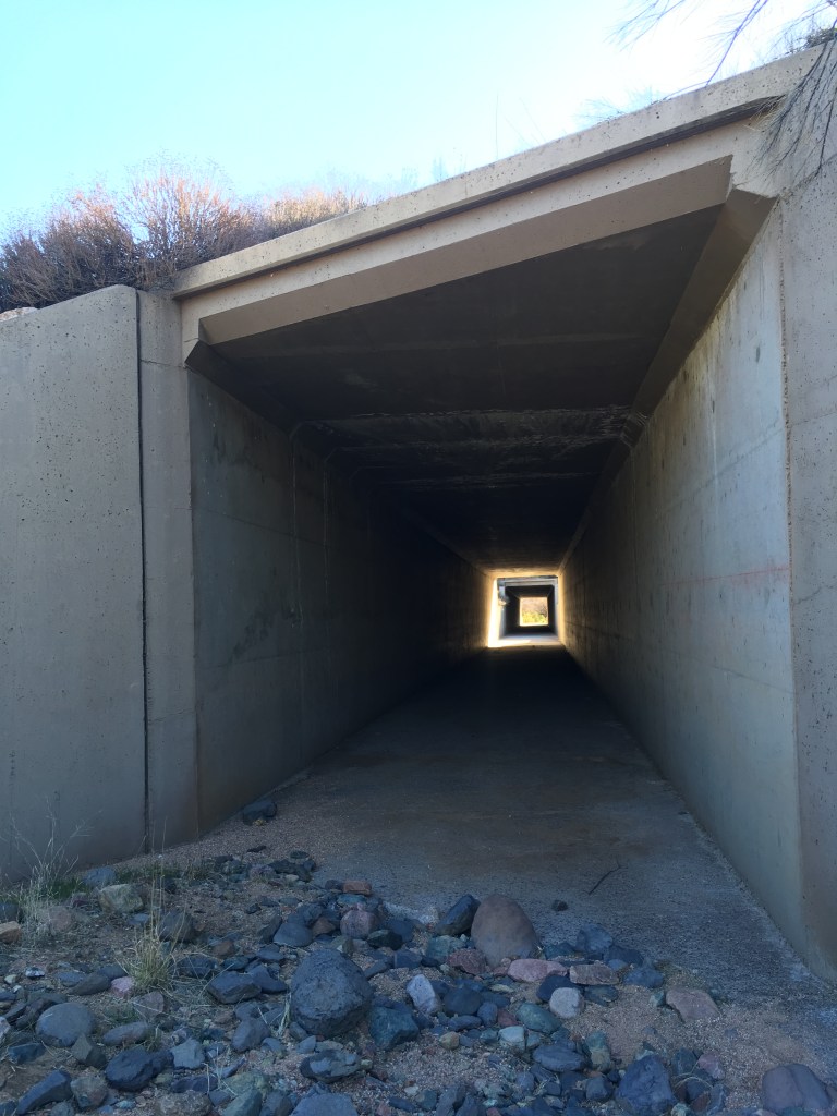
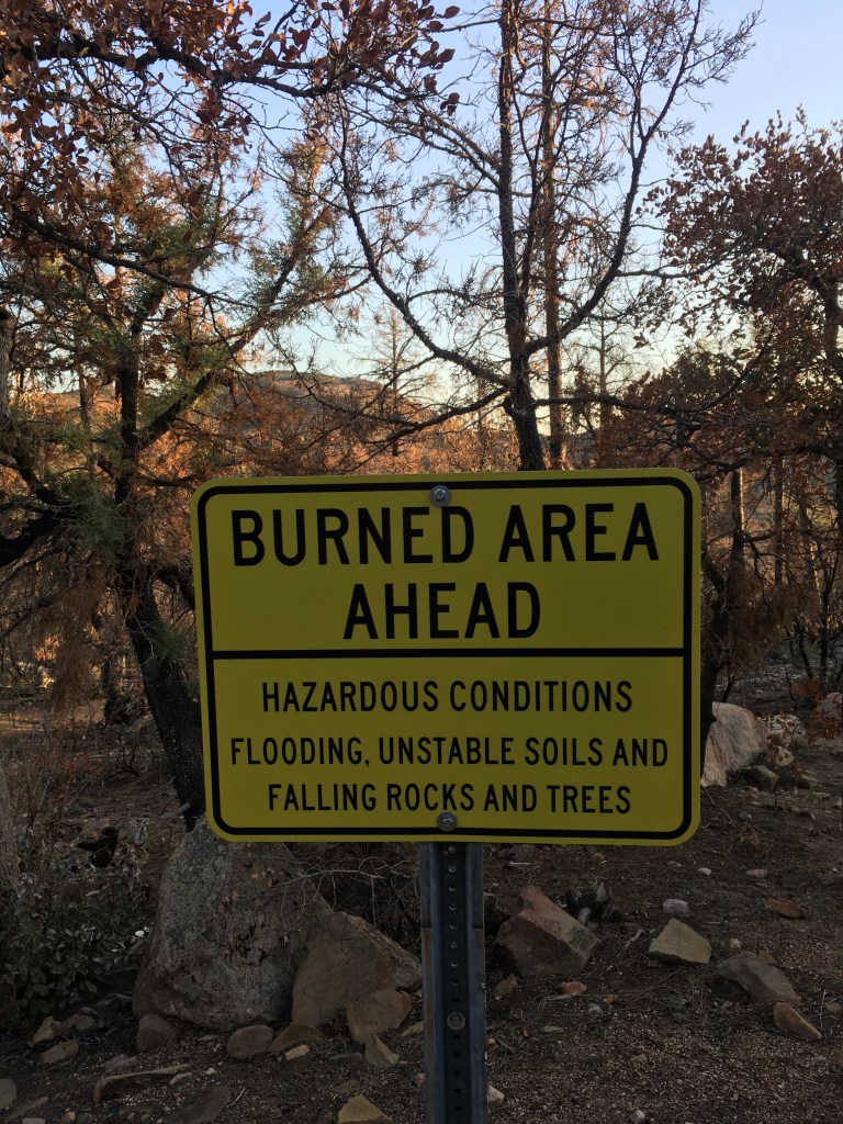
My third day I walked under AZ-87 and into the Bush Fire scar. My crew and I worked on the Bush Fire the summer before. As of that point in time, northing had really grown back yet.


The trail spends eleven miles on a dirt road until you arrive at Pigeon Spring Trailhead. Four Peaks get steadily closer and closer, though approaching from the north they look more like three and a half peaks.
I had a difficult time finding a place to camp that night due to the size of the Bush Fire scar. The wind picked up quite a bit during the day and my first camp option was on an exposed ridge surrounded by manzanita skeletons. So I walked another mile. My second option offered the same results. So I walked another mile. I arrived at Pigeon Spring Trailhead hoping to find more cover, which I did, but many of the trees were damaged from the fire. The sun was going down and I had no idea how much longer I’d be hiking in the burn scar. I decided to do my best to ignore the fact I’d be camping under damaged trees in high winds and set up camp.
The wind that night was terrible. I had to re-stake my tent down about twenty minutes after setting it up because the wind ripped up a couple stakes. I have had restless backpacking nights before, but this one will stand out for awhile.
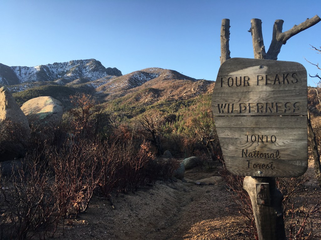
The next morning I entered the Four Peaks Wilderness. I also found a perfect, sheltered, non-burned campsite less than a mile from where I camped. Naturally.
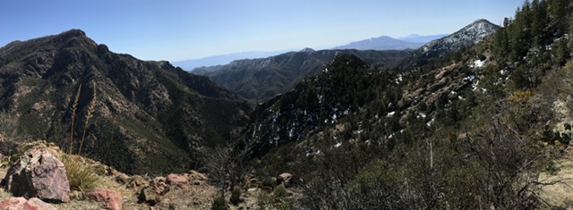
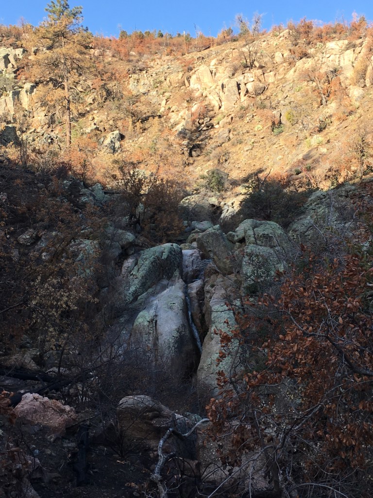
In my opinion the Four Peaks area is underrated. AZT hikers aren’t in the wilderness for very long, but it’s definitely one of the better parts of the Tonto National Forest. The trail climbs up toward the peaks where I found wonderful creeks and waterfalls. There was some snow left at the very tops of the peaks. That is a section I want to redo once the burn area recovers.


Leaving the wilderness, I was ready to be done with the trip. The trail was hot, exposed, and the wind even worse. Multiple times the wind pushed me off trail and tried to grab my hat. My trip ended at Vineyard Trailhead, along Roosevelt Lake.
This section of the trail made me realize that while I felt happy to re-gain my spark for hiking, I missed the hiker comradery aspect of long distance trails. We stopped at the marina for Roosevelt Lake and saw many thru-hikers enjoying a short break from the trail. Packs and re-supply boxes were “yard saled” everywhere. A trail family heading north decided to brave the wind and set back to trail in the afternoon. Hiking in shorter sections meant I missed a lot of the town/ hiker aspect, which I think is equally special as hiking the trail itself.
Sometimes all one needs is a little break. A chance to step back and evaluate. I spent a lot of time feeling like I failed at hiking the AZT. It wasn’t until these two trips I realized going back to the drawing board doesn’t mean automatic failure. If anything a second chance is even more important than the first.


