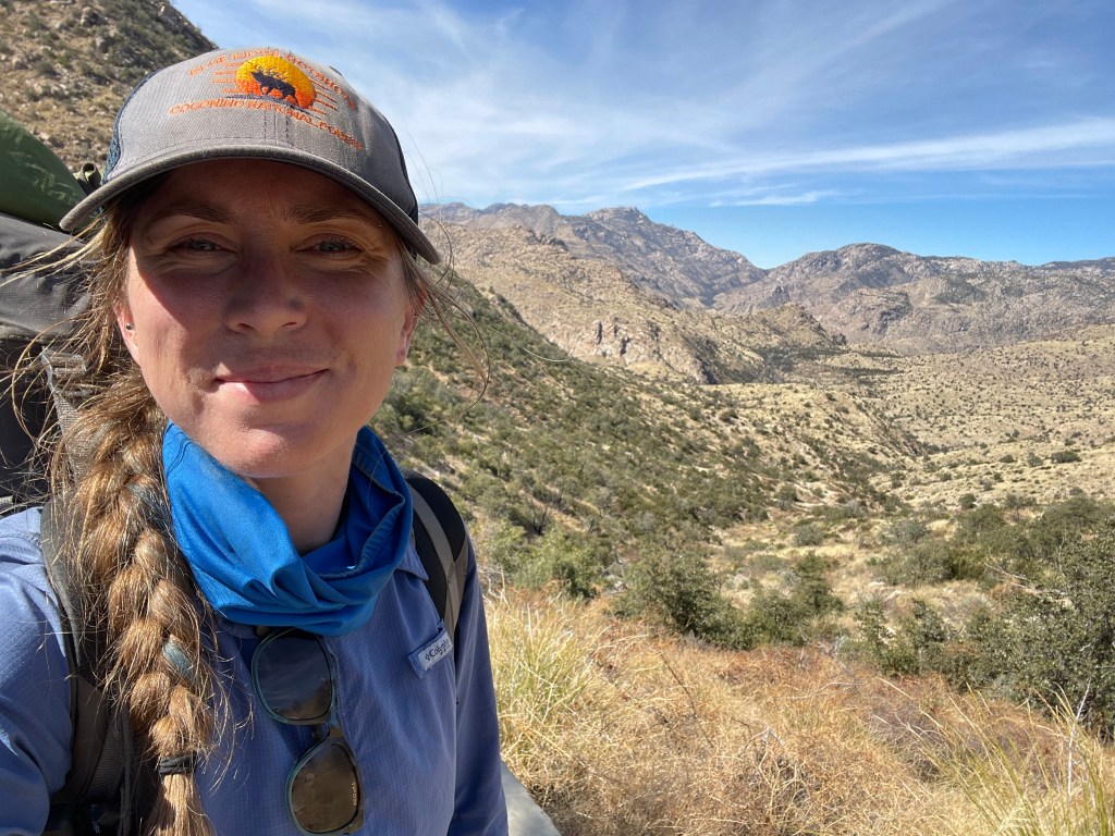
Going into the start of 2022 I had two sections of the AZT left. A seventy-five mile section at the southern border and a ninety mile section through the Rincon and Catalina Mountains. I knew I would have a hiking partner for the southern most section and that I wanted to do the last big section solo.
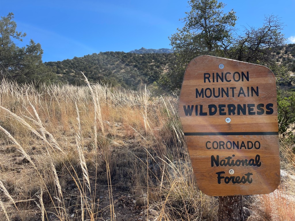
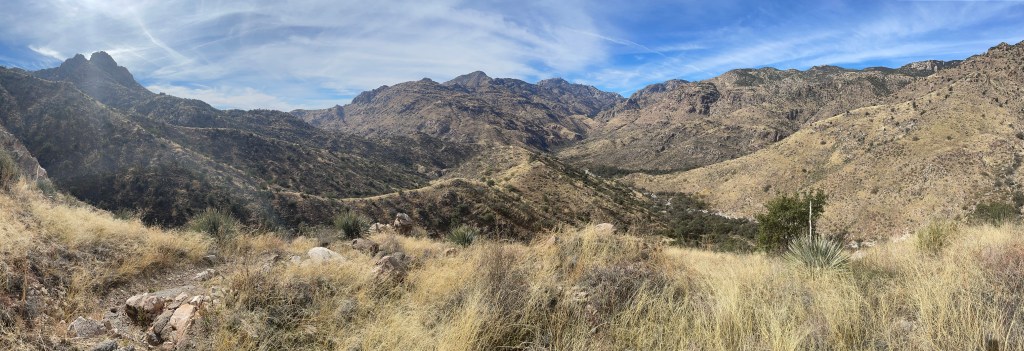
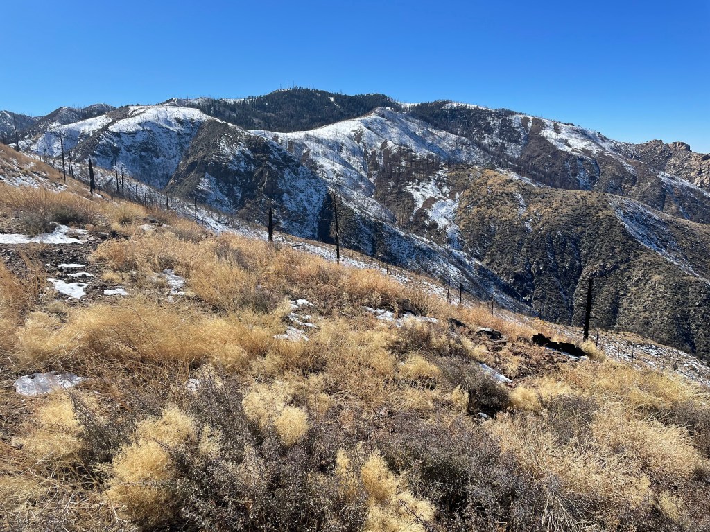
Outside of the Grand Canyon, the Rincon and Catalina Mountains are probably some of the tougher sections of the trail. The trail in the Rincons climbs to over 8,500 feet and the Catalinas just under 8,000 feet. High elevation also meant snow present on pieces of the trail. This section is also mountain lion capitol for Arizona, what every solo hiker loves to hear.
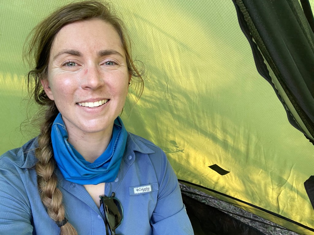
In an attempt to make a long story short, my friend/crewmate/roommate, Drew, didn’t have a car for a good part of the winter. He left for a week long trip end of January and needed someone to pick him up from Phoenix. I wasn’t going to necessarily be in Phoenix, but decided to plan another AZT section so I’d be around to give him a ride back to Flagstaff.
The level of consideration that went into planning this five-day section was ridiculous. Mom and dad were very worried about the snow. To be fair, a hiker a couple weeks prior lost the AZT in snow and fell trying to relocate the trail. One of my Babbitt’s co-workers was convinced I’d get eaten by a mountain lion. And three days before I was supposed to leave, I got sick.
Drew (and pretty much anyone that would listen to me) spent a considerable amount of time listening to my logic as to why this trip would go alright (if not to convince myself, to convince everyone else). Charles and I hiked in much worse snow on the PCT and we didn’t have a location device (I still can’t believe we did that in the Sierra with absolutely no service for eight days). I constantly checked the snow depth map for Arizona, which showed snow in those areas melting. I’d probably only see a mountain lion on accident. And somehow, after waking up sounding awful the day before my trip, my body mostly got rid of the cold.
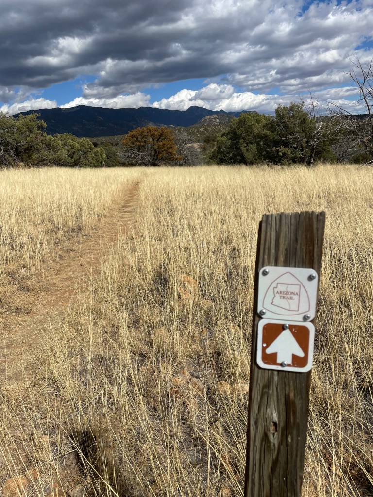
La Posta Quemada Ranch- Tiger Mine Trailhead– January 24-28, 2022- 88 miles
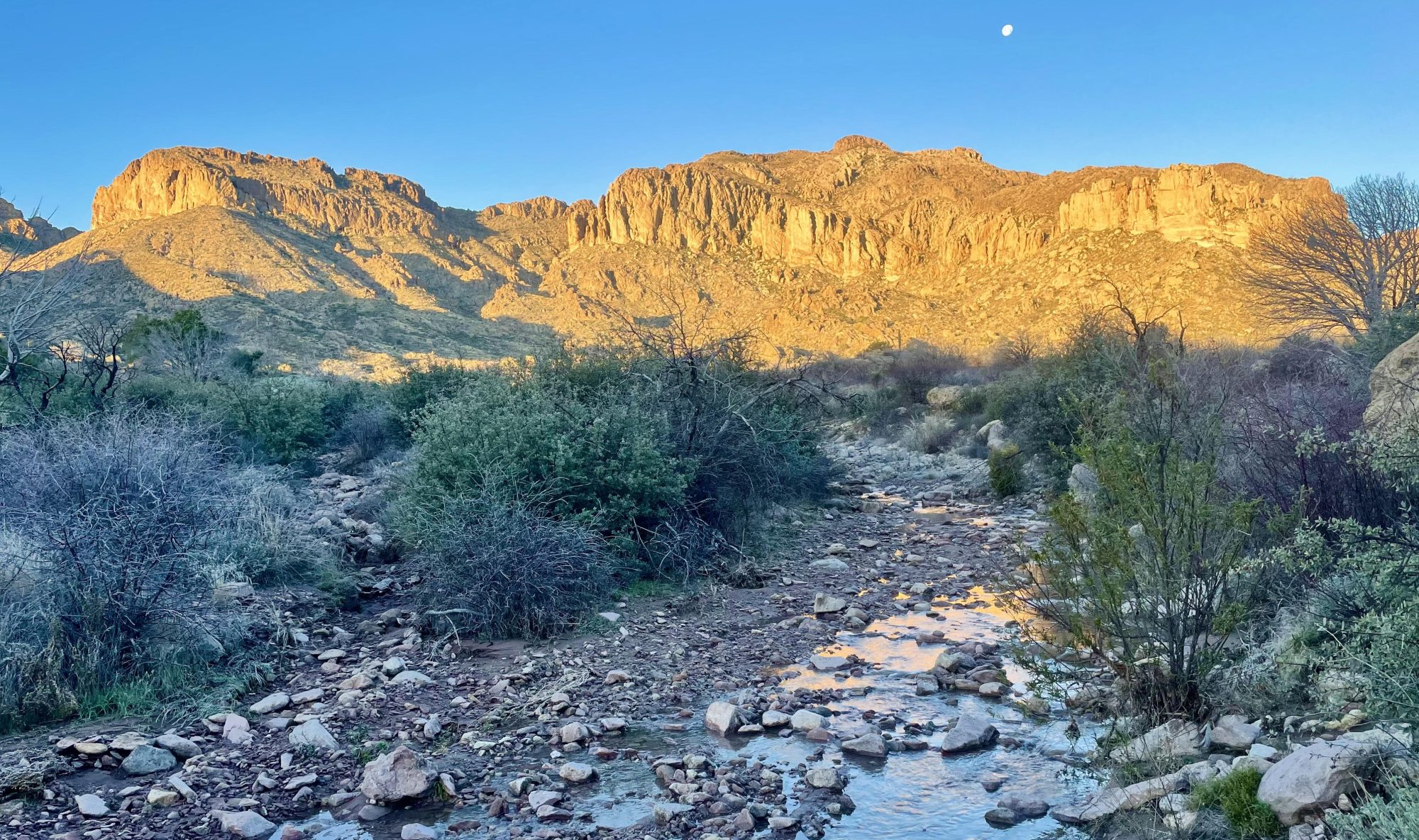
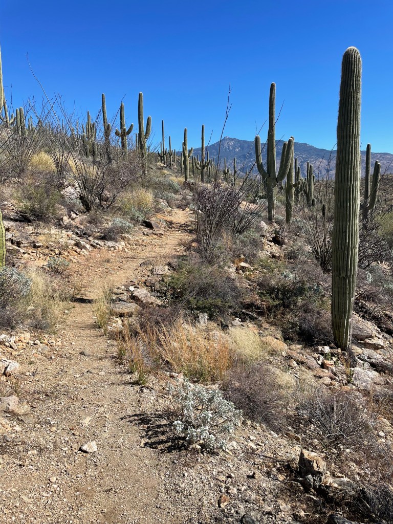
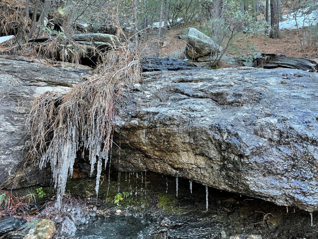
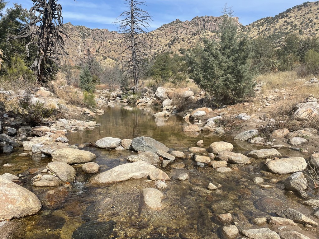
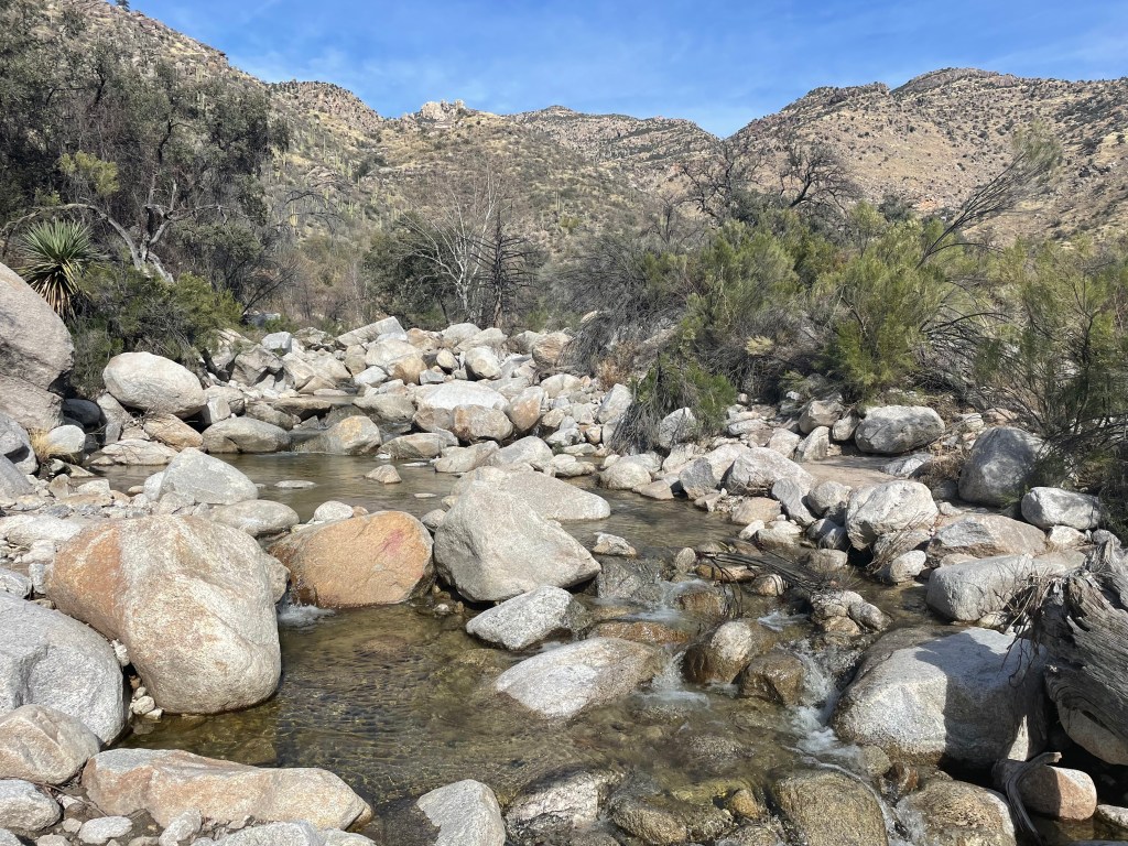
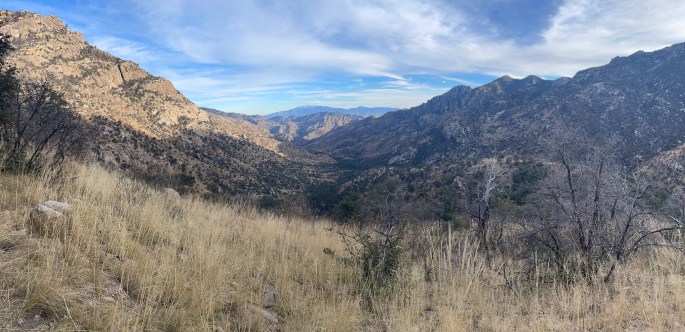
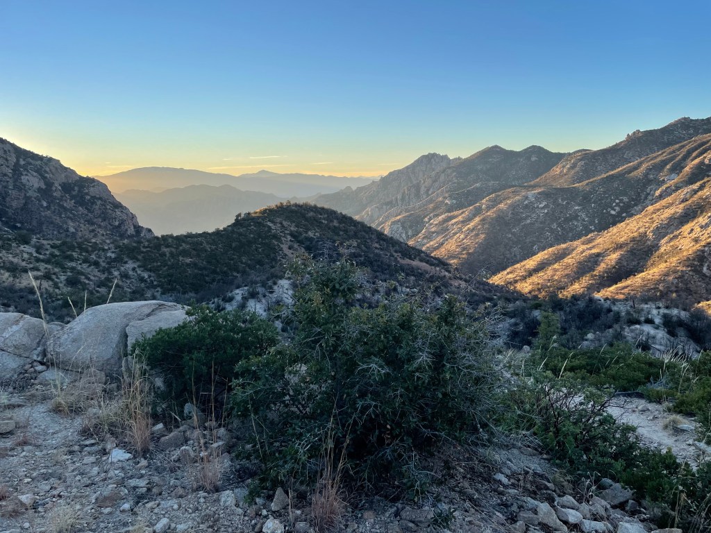
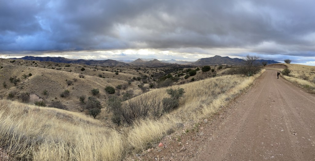
I left from La Posta Quemada Ranch, around Colossal Cave State Park, and headed north toward Saguaro National Park. The lower elevations feature the classic Arizona look of saguaros as far as the eye can see, with an added bonus of pools and creeks during the winter. Surprisingly though, most of the AZT through the park spends minimal time among the cacti.
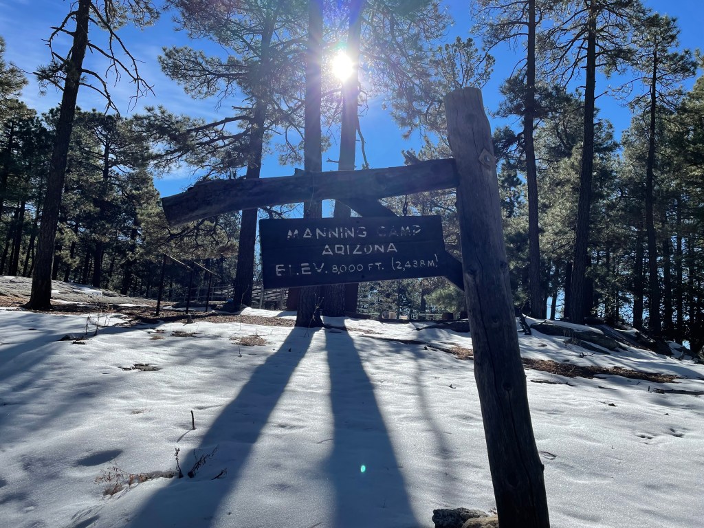
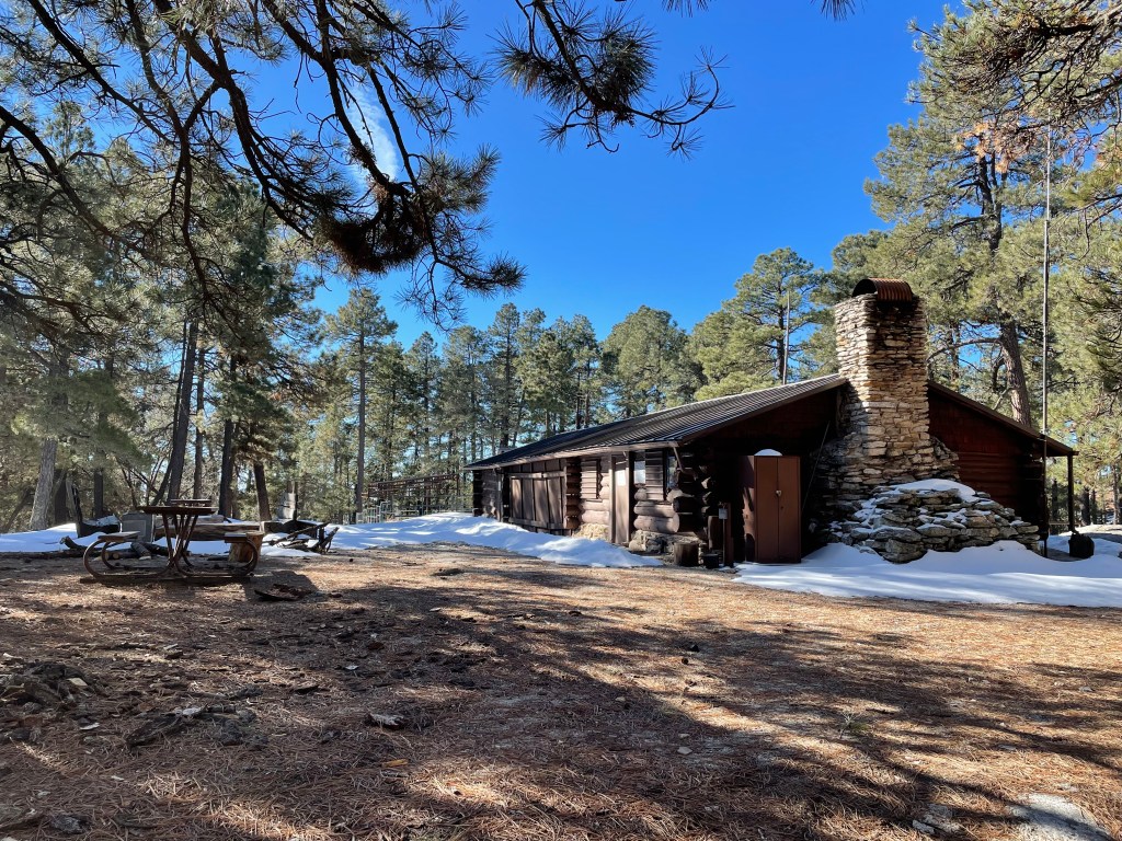
In an effort to protect the park from high levels of use, hikers can only camp at two sites, Grass Shack and Manning Camps. I stayed at Grass Shack my first night, since Manning was a little too far for me to make in one day (it’s also just under 8,000 feet and was still covered in snow). Grass Shack was temporarily closed about two months prior due to increased mountain lion activity. Mountain lions make great campground hosts, right?
Luckily, the very last southbound thru-hiker of the year just happened to pass through the camp in the evening. Not looking to hike in the evening in mountain lion country, he decided to stay at the camp as well. He provided a current snow report for the rest of the trail, which eased my concerns about conditions to come.
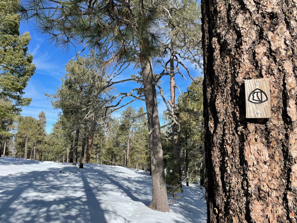
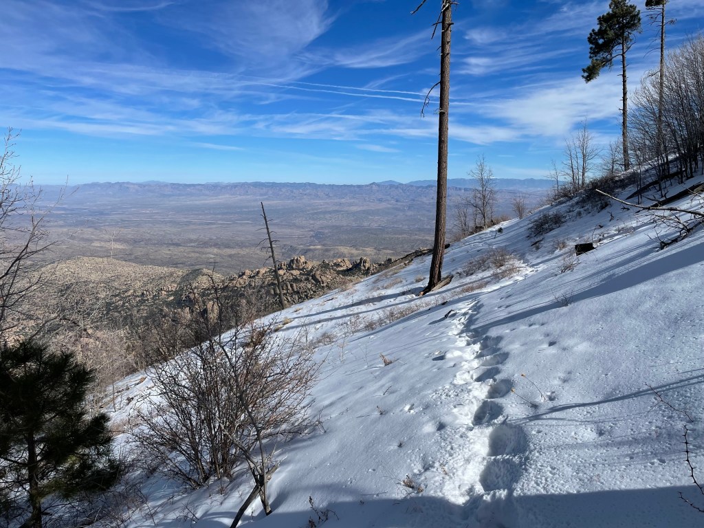
The next morning, I slowly finished the climb up and past Manning Camp and Mica Mountain. I was out of backpacking shape and snow slowed me down. I had tracks to follow, though, making navigation relatively easy. The only signs of mountain lions were a few tracks on the trail.
I left the park boundary around lunch and descended about 4,000 feet in elevation. The trail for the remainder of the afternoon was rolling hills, so the miles came easily. I saw no one the entire day except for a few white tailed deer.
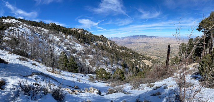
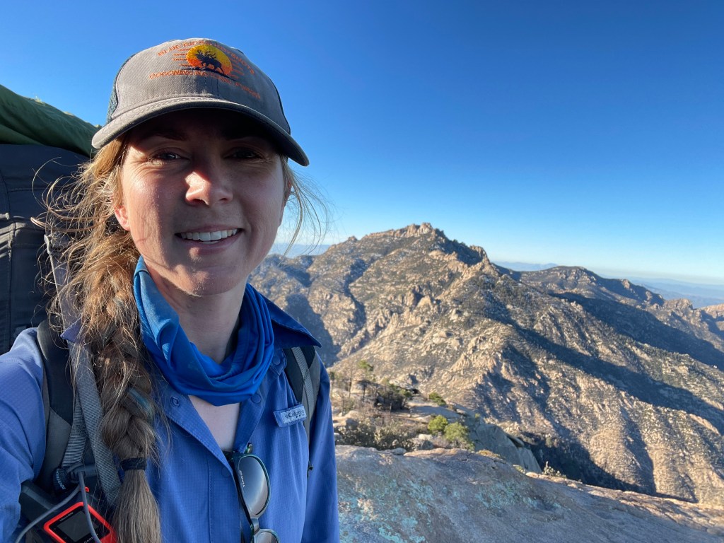
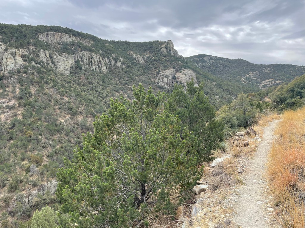
I was excited for day three because I’d cross Catalina Highway, near Molino Basin Campground, and officially enter the Catalinas. This day was also harder than I expected, with just as much climbing as in the Rincons.
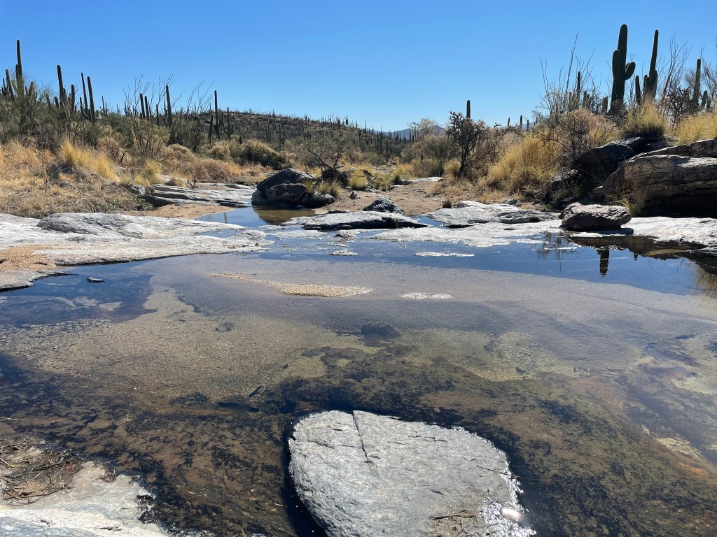
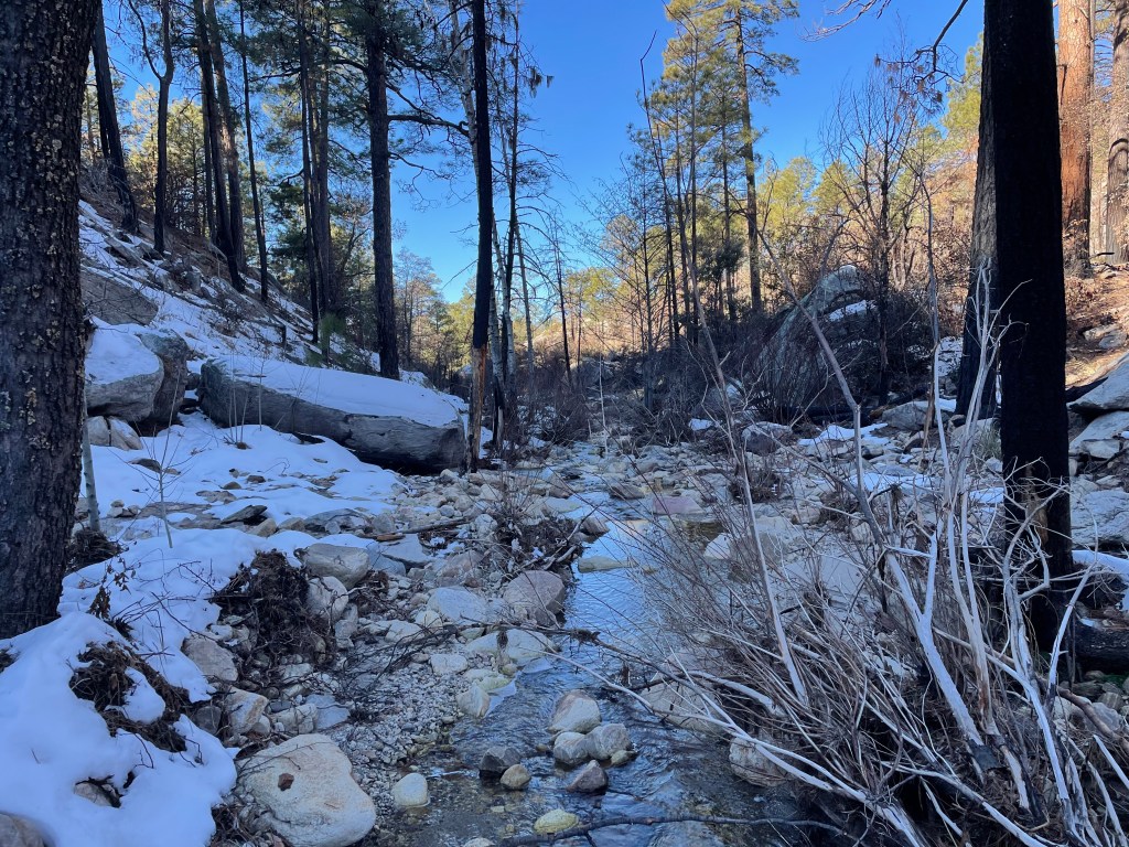
The trail enters the Pusch Ridge Wilderness and descends into Sabino Canyon. The water on this section was wonderful. All the snow melt created additional creeks.
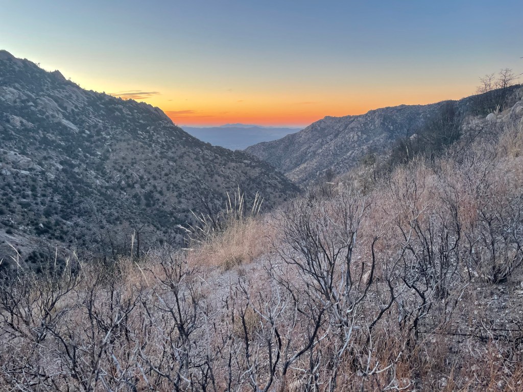
My campsite for the evening was at a small, flat spot at Romero Pass. The sunset was gorgeous and I could just see Tucson through a gap in the mountains. Luckily the night was relatively windless.
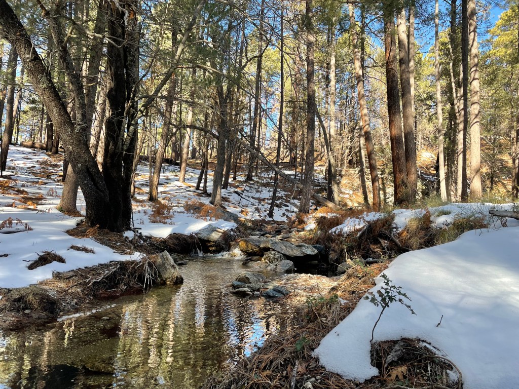
I had a decent two mile climb to start morning four, that many previous AZT hikers moaned and groaned about. Like most things on trail though, it wasn’t nearly as bad as described. I hiked through more snow until I arrived at Marshall Gulch Trailhead and the road that led to Summerhaven and Mt. Lemon.
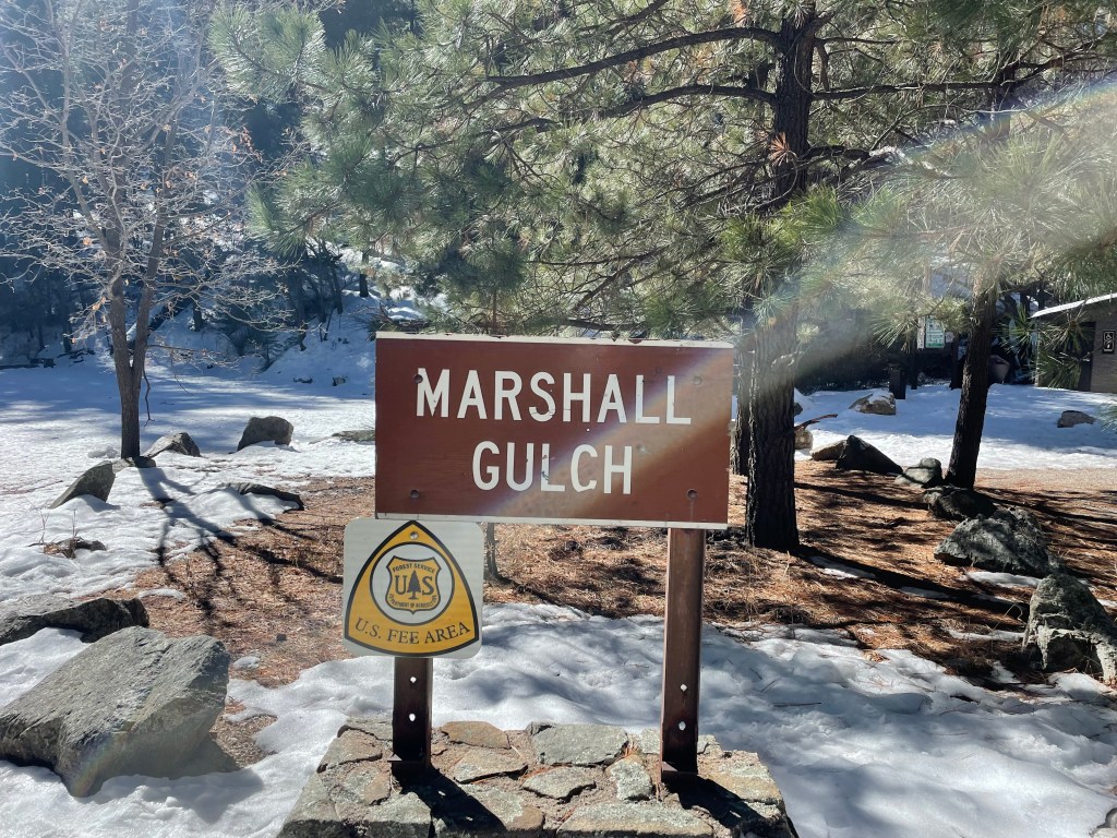
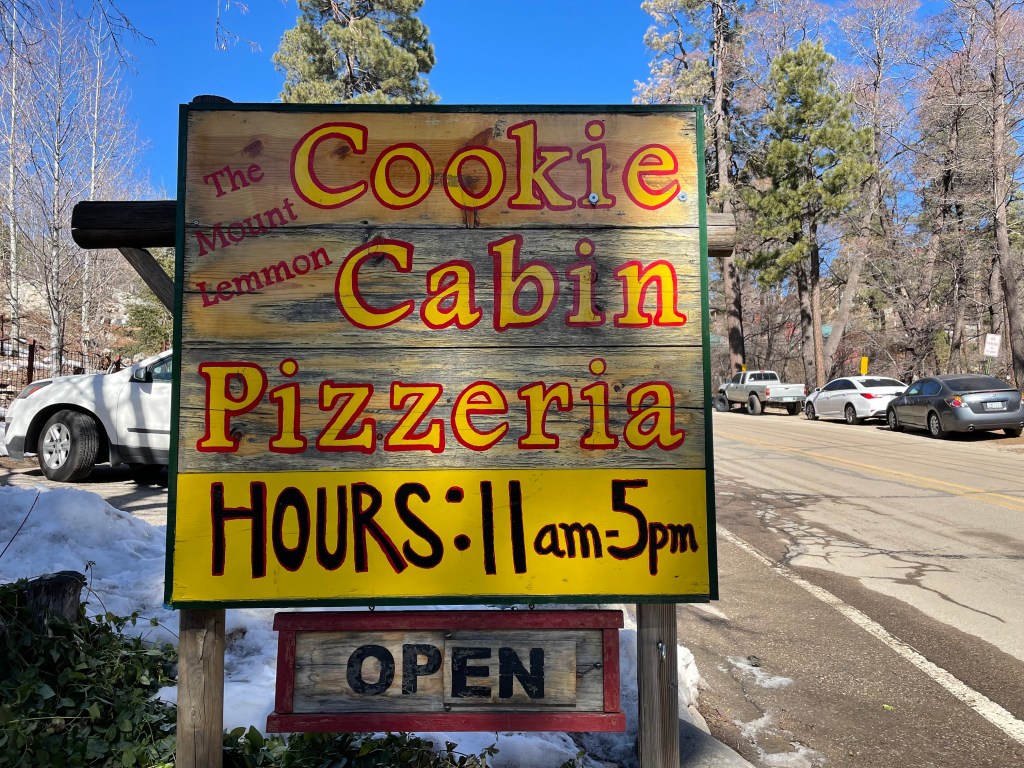
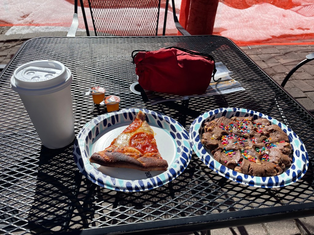
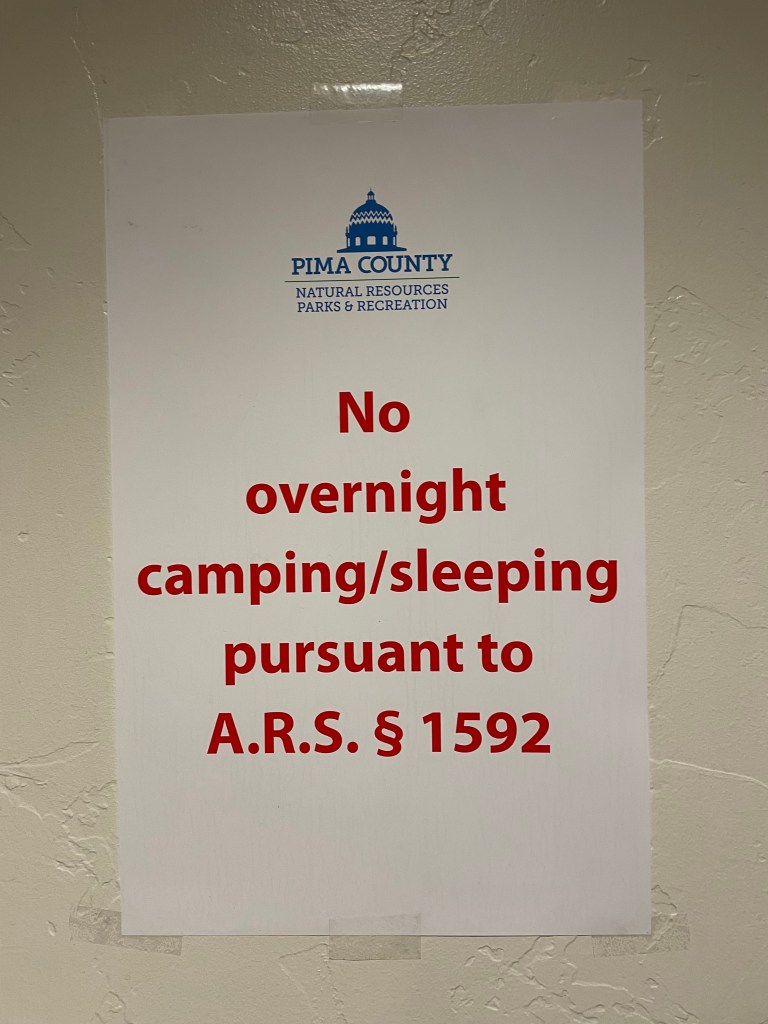
Summerhaven is a popular spot for AZT hikers for the food and potential place to stay in case of a snow storm. I arrived just in time for lunch and spent an hour at the Mt. Lemon Cookie Cabin. It was nice to relax with my book and enjoy pizza, a large cookie, and coffee. I also received a few weird looks from tourists up to enjoy what remained of the snow as I appeared out of a closed road looking a little disheveled. There’s some debate as to where hikers are allowed to stay (they will sleep anywhere if you let them) and a sign up in the visitor center bathroom vestibule made me laugh. According to some hikers you may now sleep in the post office, as long as you don’t impede residents collecting mail.
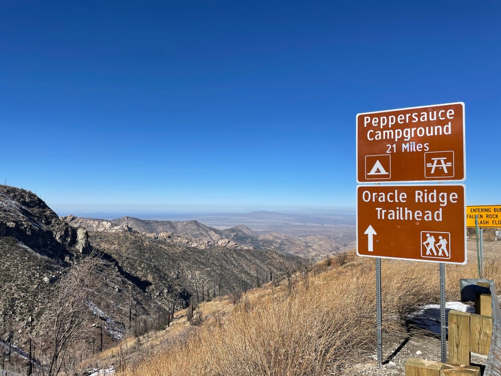
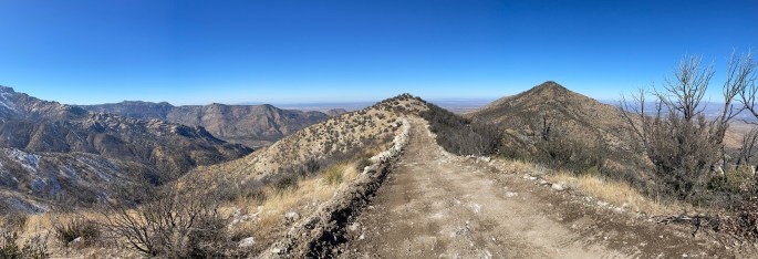
Oracle Ridge leaves Summerhaven to the north and it was a great afternoon on trail. While much of the area burned in the Bighorn Fire, the views were clear and the snow minimal. Easy miles calls for singing as loud as possible once out of earshot of suspicious tourists. The trail on the north end has no water sources for over ten miles, despite snowmelt.
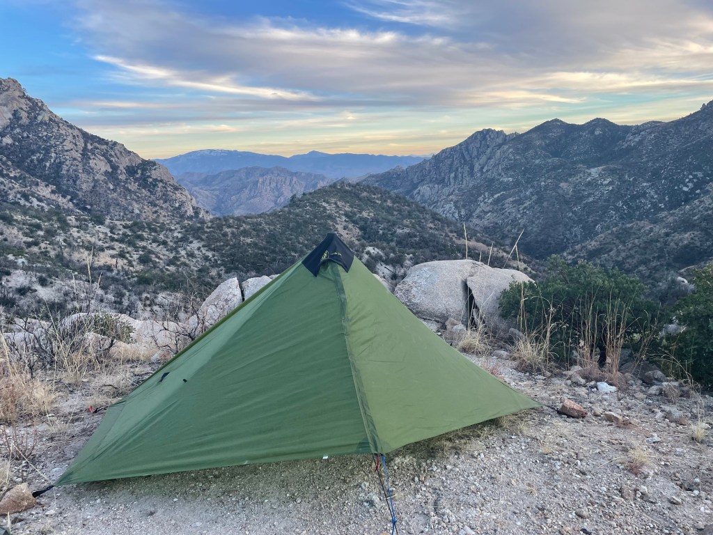
I seem unable to hike on the AZT without a wind event. My final night the wind howled. I eventually just took my trekking pole down and wrapped myself up in my tent until morning. I’m sure I looked quite comical trying to pack my things without anything blowing away. I even carried my tent a few hundred feet down trail to try and find a less windy spot for packing.
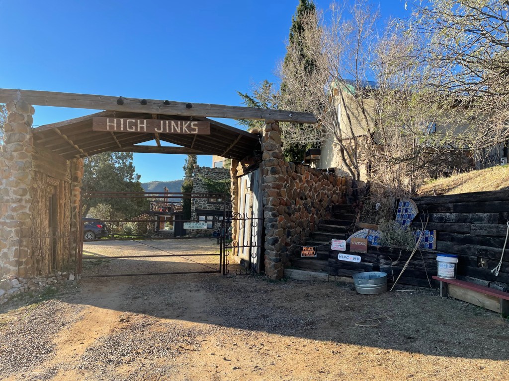
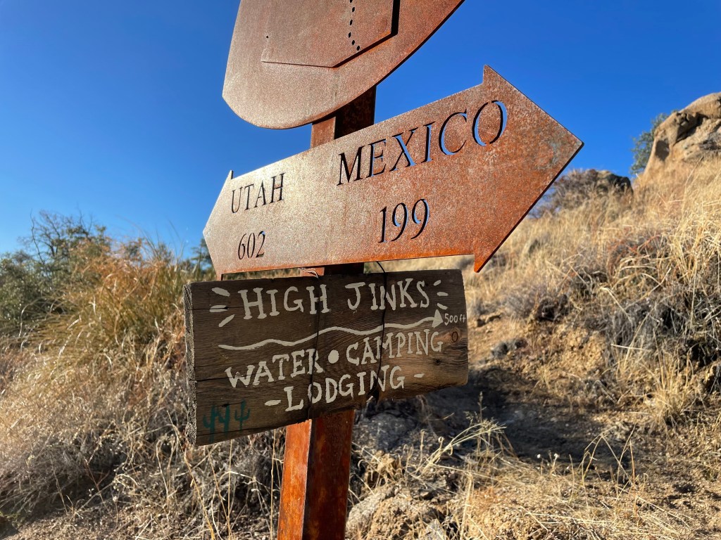
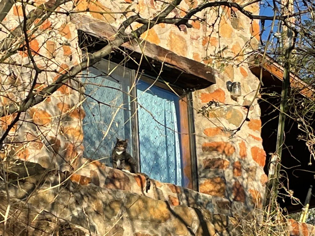
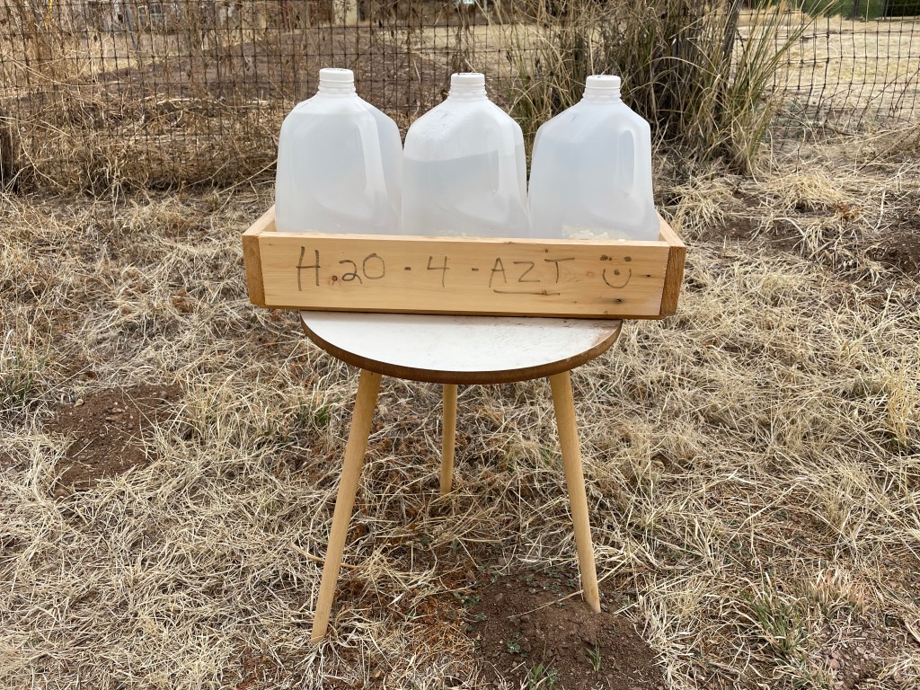
Other than the wind, my last morning was uneventful. I stopped at High Jinks Ranch in the morning for some water. It was early, though, so only the resident cat came to greet me. I hiked some easy miles through Oracle Start Park. I found a water cache, reminding me just how close to the border the trail is at this section.

Just before arriving at Tiger Mine Trailhead, hikers pass under AZ-77. Apparently hikers and homeless people look very similar (so I’ve been told), as I came across three guys hanging out under the road that I thought were on trail. None the less, they were very impressed I was almost done with the entire trail. From there it was one easy road walking mile to finish off this section.
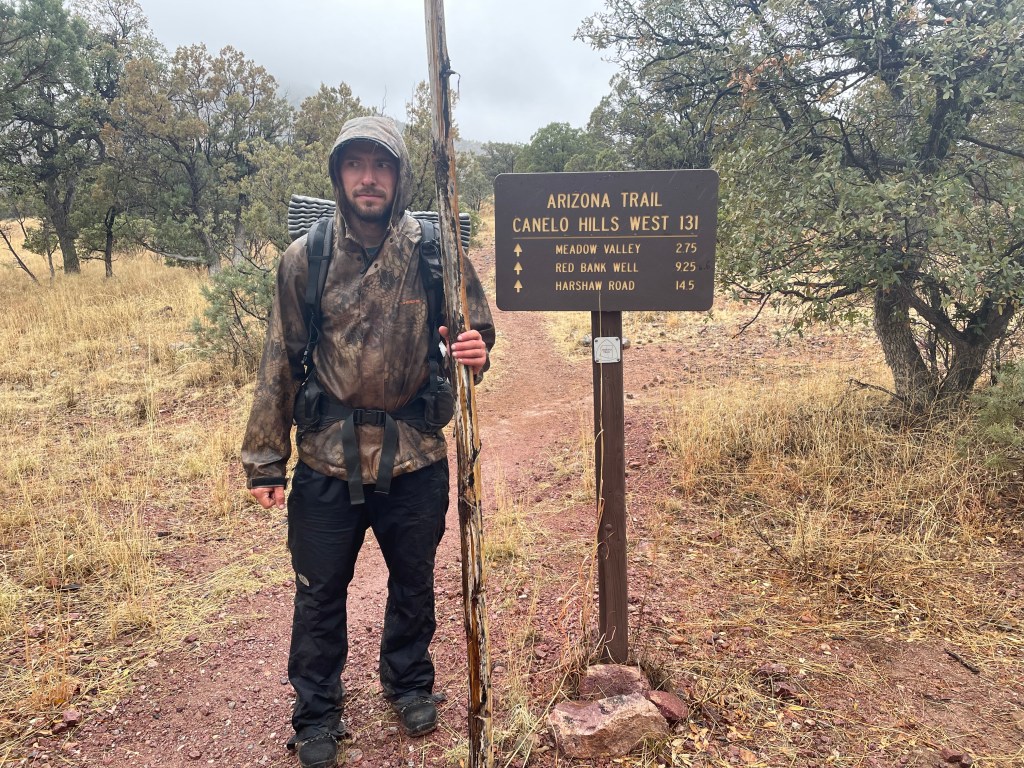
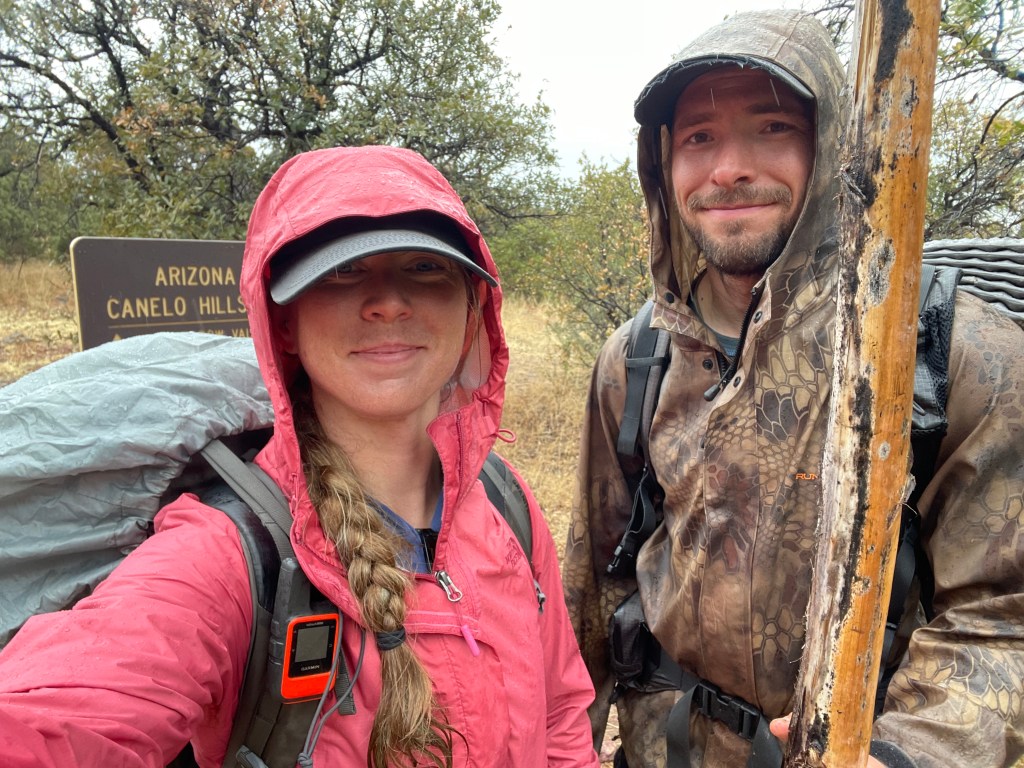
Gardner Canyon Trailhead- U.S./Mexico Border– March 28-31, 2022- 75 miles
Within the last hundred miles of the AZT, hikers are very close to the Mexico border. While it’s never been an issue, the AZT Association cautions hikers this far south. It is possible to run into people near water sources and it’s recommended to camp away from the trail as it’s used as a route for crossing. But again, there are no reported issues from when hikers meet migrants on trail.
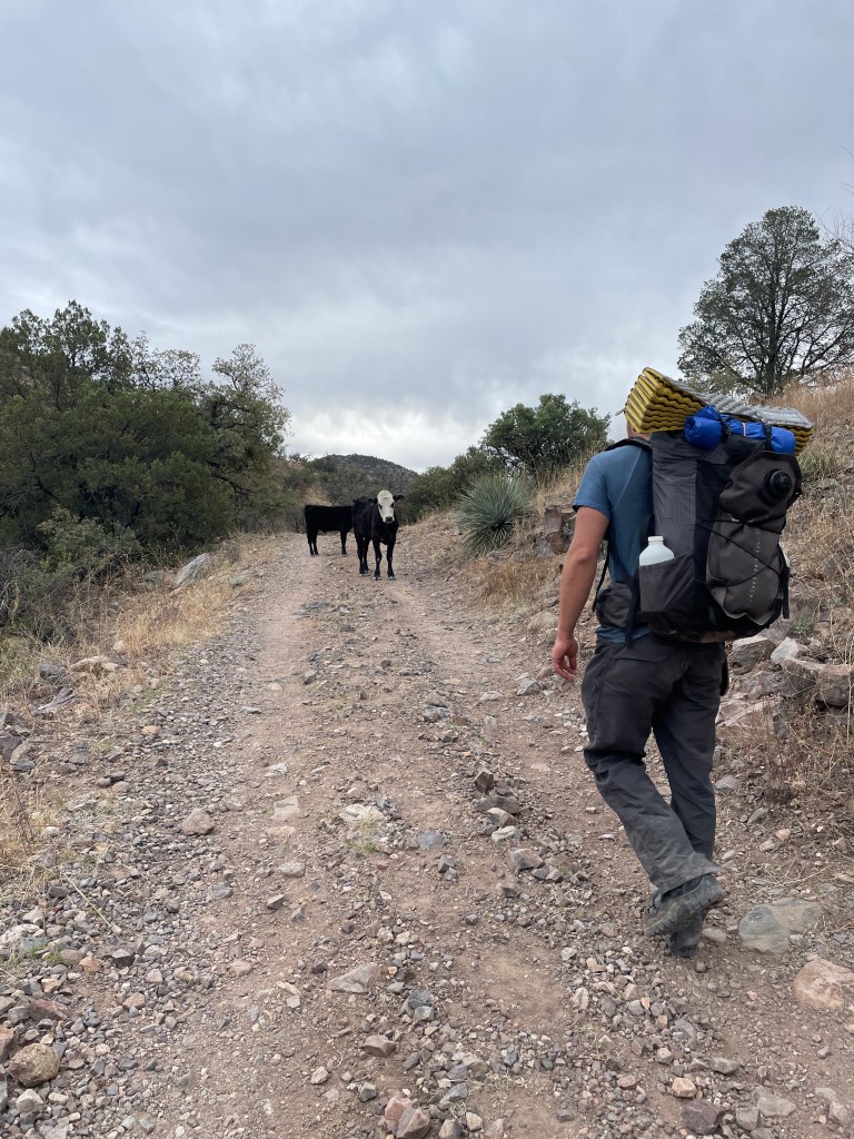
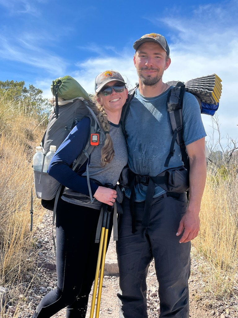
Regardless, it seemed like a good idea to have a hiking partner for this last section. I hiked the final section with Drew. Let me give you a little background on Drew:
Drew is one of my best friends. We work on the same fire crew and live together in the winter. He ran a 50k with me on a whim two days before this trip. We have the best discussions, he sings me show tunes, and, despite our best efforts, we act like an old married couple. Unfortunately, I will never be the perfect husband for Drew. Oh well, what can you do? Drew has hiked part of the AZT and is an excellent outdoorsman.
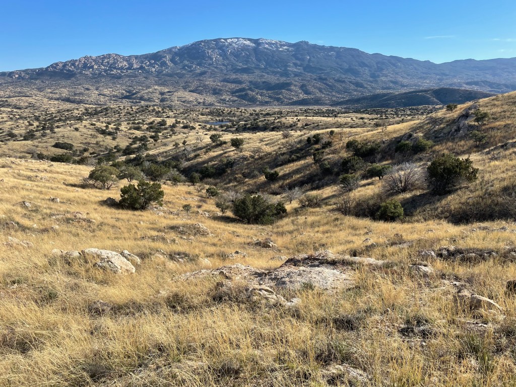
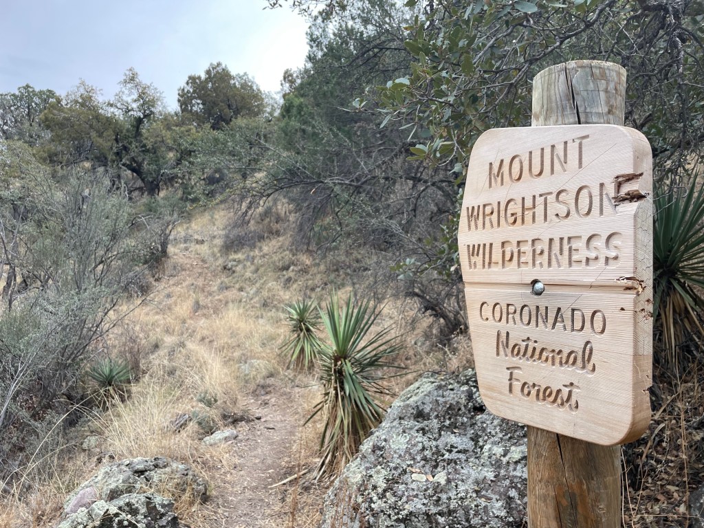
The trail heads south through Mt. Wrightson Wilderness. Other than Drew getting chased by some insects out of a cave (and almost giving me a heart attack) our day was pretty uneventful.
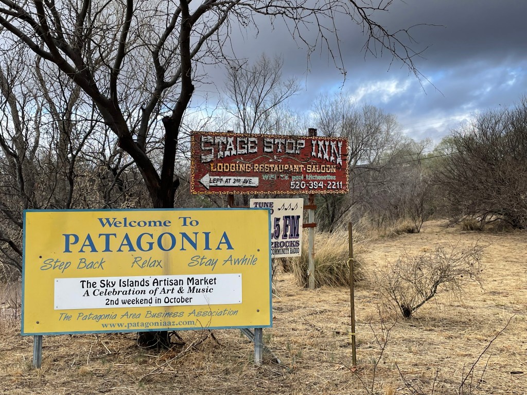
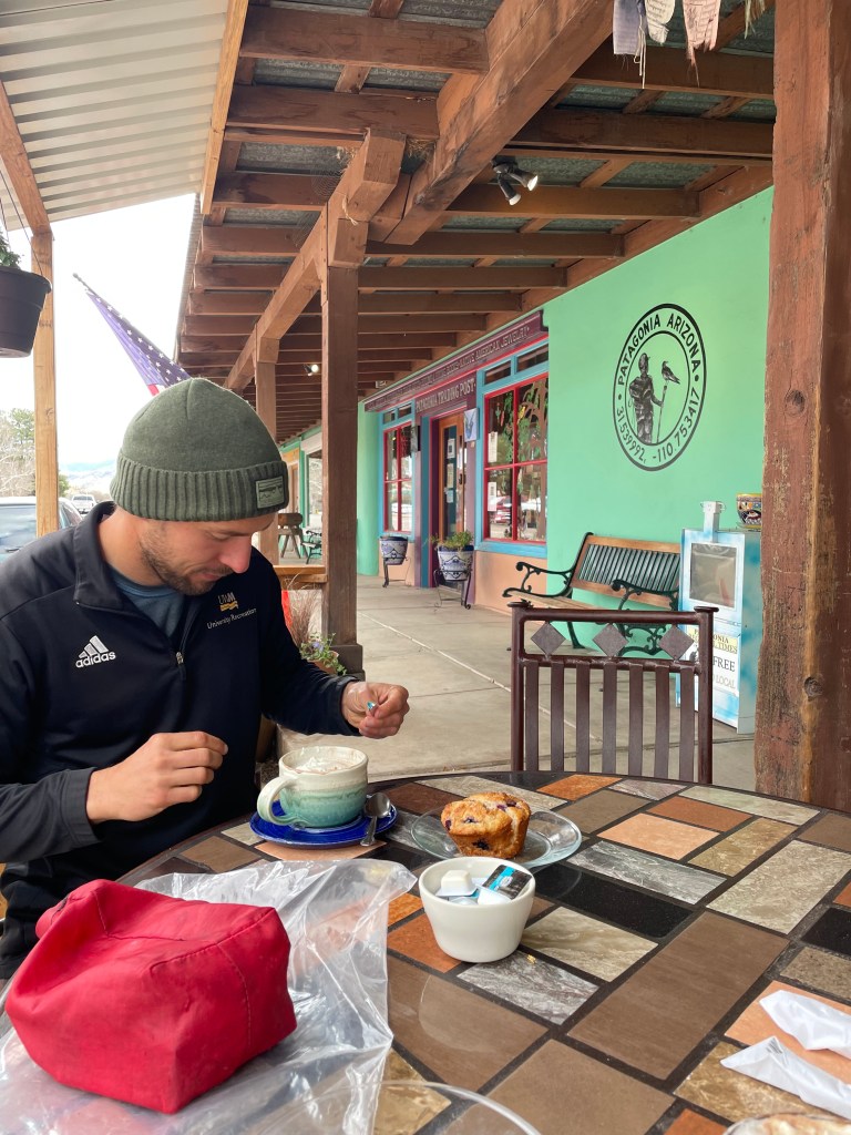
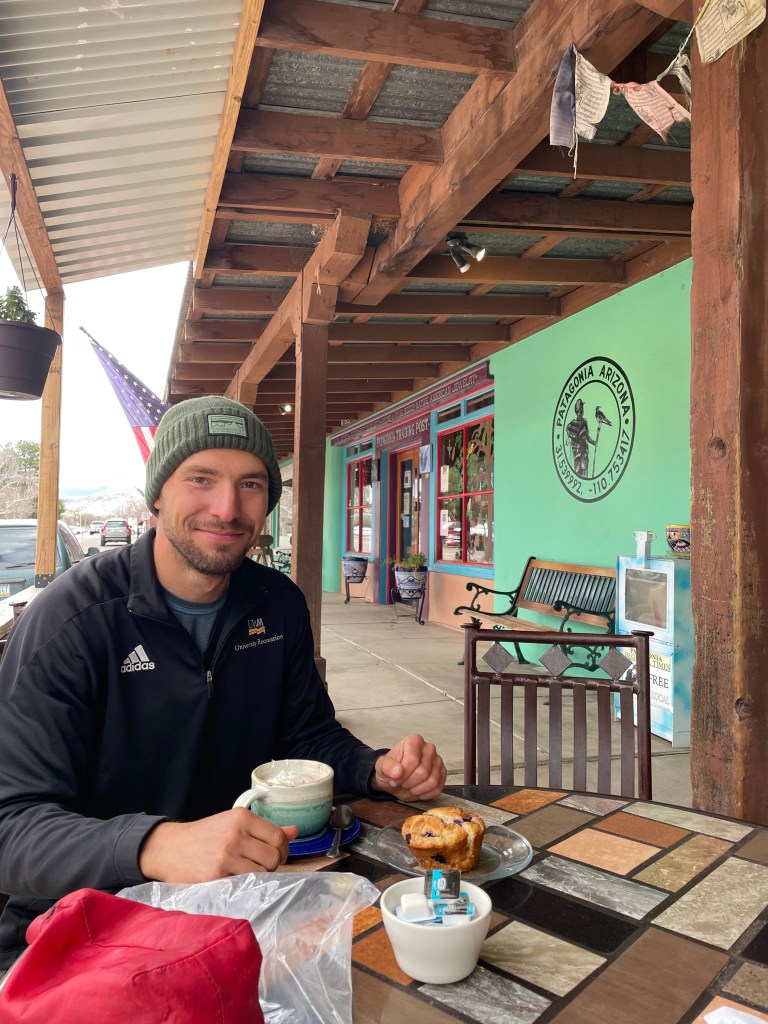
The next day we were expecting rain and the sky looked the part. We had an easy road walk into the town of Patagonia and stopped for breakfast at a coffee shop called the Gathering Grounds. I was still determined to get some sort of town experience on the AZT.
We started walking out of town around mid-morning when approached by a lady on a bicycle, the owner of TerraSol. She’s a trail angel who lets hikers camp at her home, do laundry, take showers, etc. We told her we were headed out of town, but ended up walking right past her home anyway. We saw a few northbound hikers wave to us from the yard. After walking about a minute past Drew must’ve been able to read my mind because he said we could go back and talk with them for a bit, since I hadn’t really met many hikers on the trail. They were just as excited to see us turn around and head back toward them.
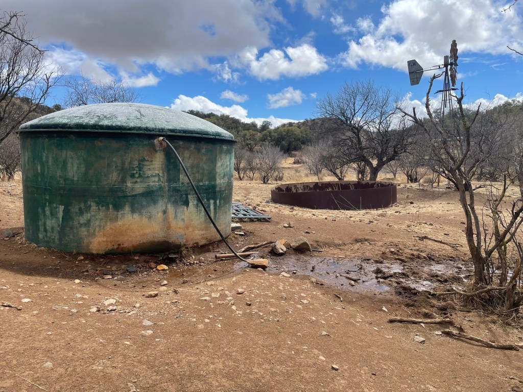
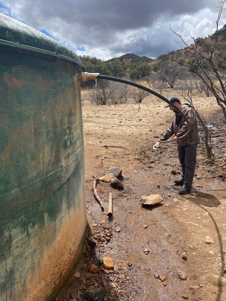
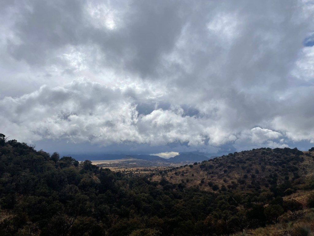
After chatting with the hikers for about half an hour we were on our way again. The expected rain started about an hour later. At first just a drizzle, we eventually were walking in a hail storm. The rain let up around lunch, but returned within another hour. We stopped for water at a large tank and in the span of twenty minutes watched the sky darken. From that point on we had steady rain for the rest of the afternoon and into the evening.
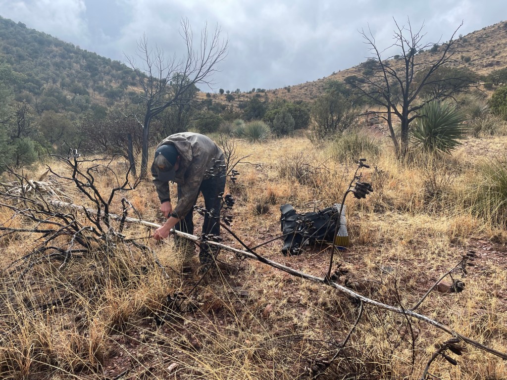
Now two things you should know about Drew: he’s not a fan of tents, preferring a tarp, and he thought his pack was water resistant. The first night the wind kept pushing the top of his shelter into him. To fix the problem for the second night he found a dead yucca stalk, sawed it into a manageable piece and carried it a mile or so to camp to drape his tarp over. Also, his pack is not even remotely water resistant. Luckily, his sleeping bag was mostly dry, but all his spare clothing was not.
The next morning, we saw Mt. Wrightson in the distance dusted in snow. We also saw the back ends of what we assume were two younger mountain lions dashing off into the brush. After taking about an hour to dry out our gear, the rest of the day passed by uneventfully.
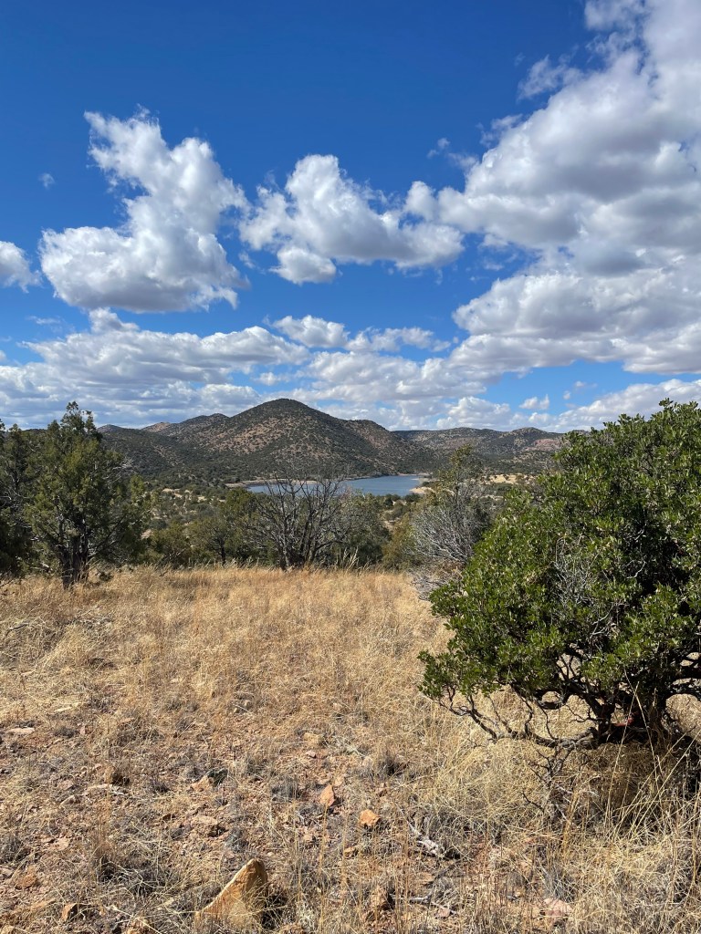
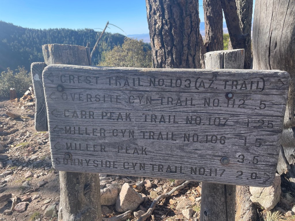
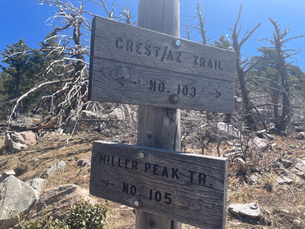
We hiked past Parker Canyon Lake and began the climb up into Miller Peak Wilderness, in the Huachuca Mountains. The road to Parker Canyon Lake will take you to the border, but we just imagine AZT trail planners laughing to themselves about sending hikers an additional fifteen miles out of their way.
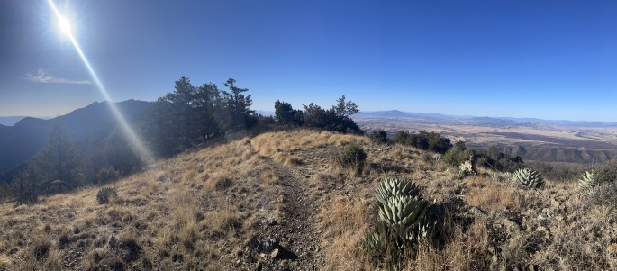
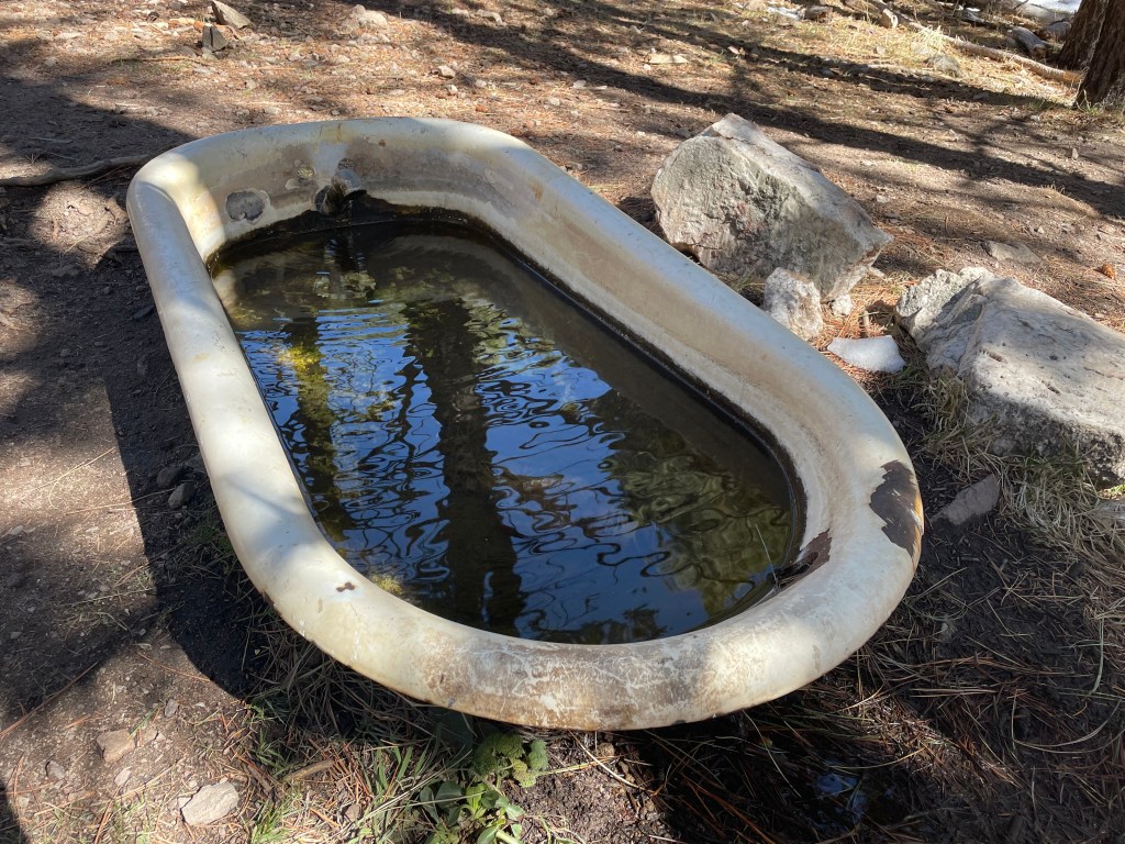
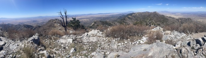
The final morning we finished the climb and enjoyed walking along ridgetops. This section of trail is the second highest point, climbing to over 9,000 feet in elevation, with the Kaibab Plateau beating it by only fifty feet more. There’s one last, fun water source before reaching the end; a spring bubbling out of a bathtub at over 8,500 feet.
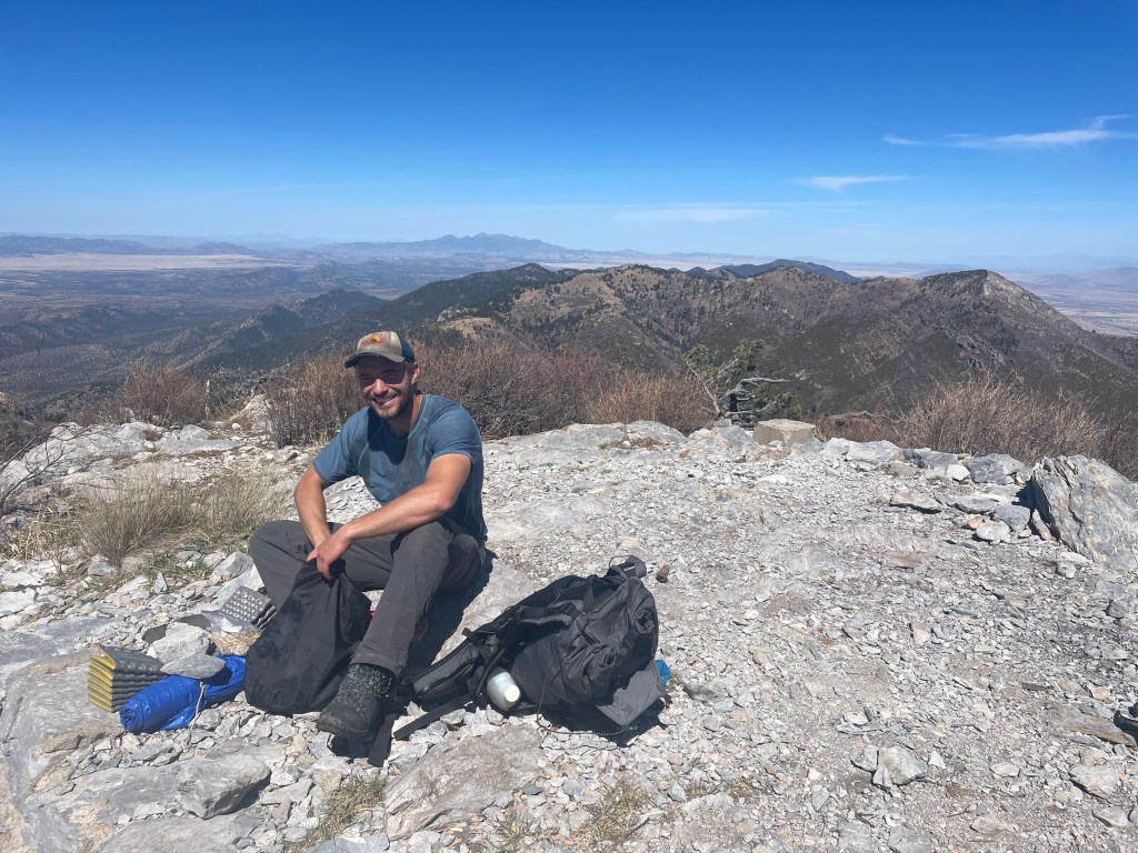
We were ahead of schedule for our pickup time and decided to take a short side trip up Miller Peak. At the top is the remains of a concrete pad from a lookout tower and a 360-degree view. We could see the border wall extending east and west in a seemingly endless, useless line and watched the surveillance blimp take off. While not much, we also saw evidence of people crossing the border, such as discarded items you’d never otherwise find in the middle of nowhere.
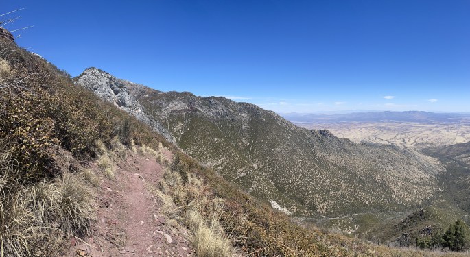
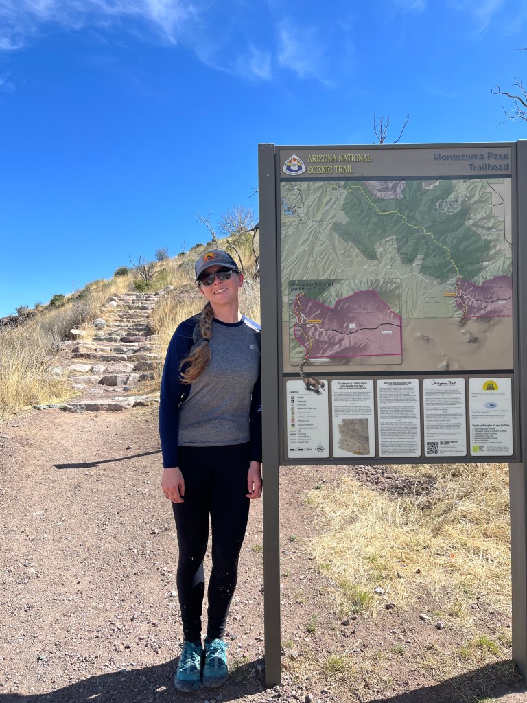
From here it was all downhill to the terminus. The trail is noticeably warmer on the south end of the mountains, but at this point we had only five miles to go. We crossed Forest Road 61 at Montezuma Pass, the final road on the AZT and only two miles remaining. Some tourists were milling about, reasonable enough so close to Coronado National Memorial.
From here things got a little strange. We hiked around a corner and saw a man staring down trail. We said hello and walked past. A couple minutes later a line of men dressed in black camouflage came hiking up the trail with one man dragging behind. Drew speaks Spanish pretty well and offered him extra water. We decided to take a quick picture at the terminus and then immediately head back to the pass. When we got to the terminus another man popped up on the other side of the border, very interested in where we came from. Drew mentioned something quickly about us being backpackers and just finishing the entire trail. Then we turned around left. Drew had us hike up a ridge to avoid hiking past the first man, who lingered after the line of men passed.
Which is why I only have pictures of us two miles from the end. It was quite the privilege check to end the trip and see just how fortunate I am to hike on the AZT for fun because unfortunately that’s not the case for everyone.
I love Arizona with all my heart. And I love everyone that helped me with this trail because goodness did I struggle at the start. I love the hiking partners who joined me when I wasn’t confident enough to hike on my own (and who showed me that sometimes things are just better with a friend). Mom and dad, for everything. And anyone and everyone that let me talk about the Arizona Trail.
Next up are Grand Canyon trips and what those trips inspire. But more on that later!


