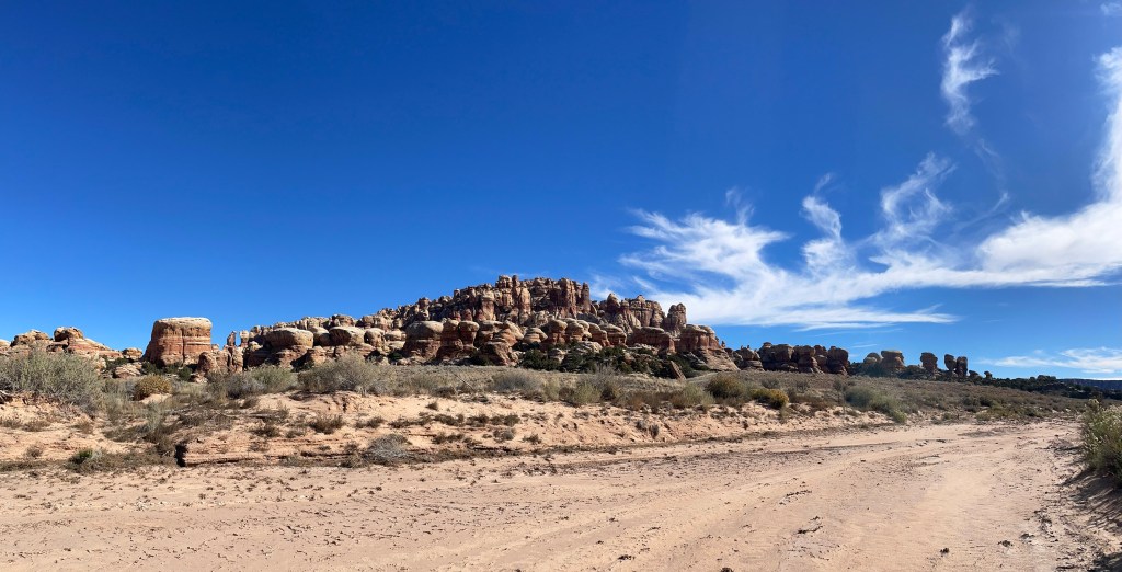
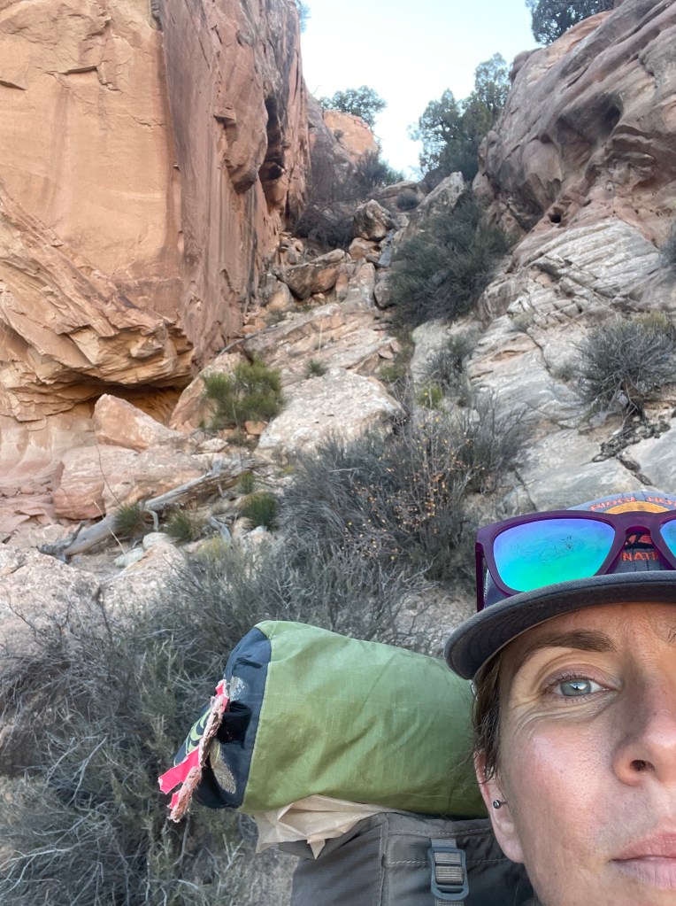
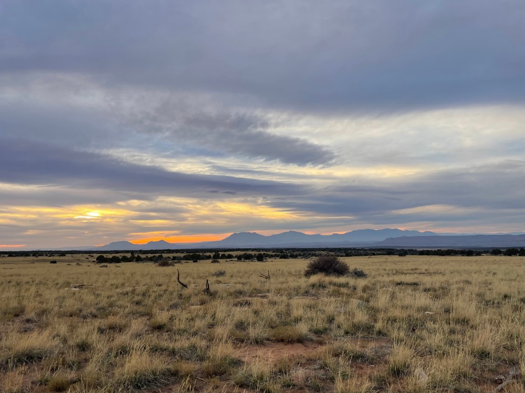
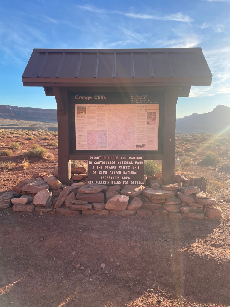
Apart from the mini Grand Canyon traverse Drew and I tried a few years ago, this was the hardest trip I’ve been on to date. I always have backpacking ideas bouncing around in my head, but for the time being I want to keep returning to Hayduke sections. This time I looked at section three: starting at Big Springs Canyon Overlook, in the Needles District of Canyonlands National Park, then traveling through Bears Ears National Monument to finish at Hite Crossing, off Utah State Route 95. At roughly seventy miles, this section proved a big step up from previous Hayduke sections, between route navigation and overall exertion level. Overall though, this trip proved a dream of a time with absolutely stunning landscapes and classic southwest colors.
Colin is always up for a backpacking adventure and Annette is always up for a driving trip through Utah. We met Annette at Flint Road, just past Hite Crossing, to drop off my truck and then she drove us up to the Needles District of Canyonlands. We also learned a very valuable lesson about SR-95; it is very remote with no gas stations until to Hanksville (we may or may not run into Blanding because I didn’t look closely enough at available gas stations along the driving route).
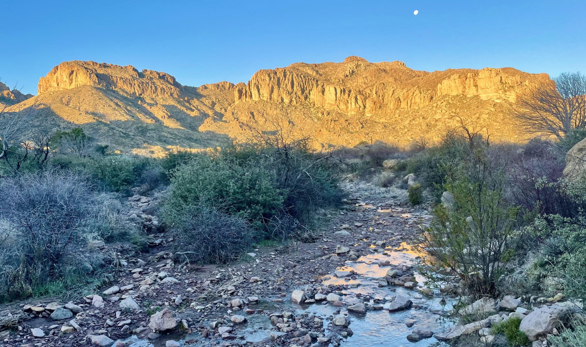
While there was plenty of water in later canyons of this section, roughly the first twenty-five miles have no reliable water sources. Planning to make it to water by the end of the second day, I started with about six liters of water and Colin started with about seven. It’s not the worst water carry we’ve ever done, but it was definitely heavy.
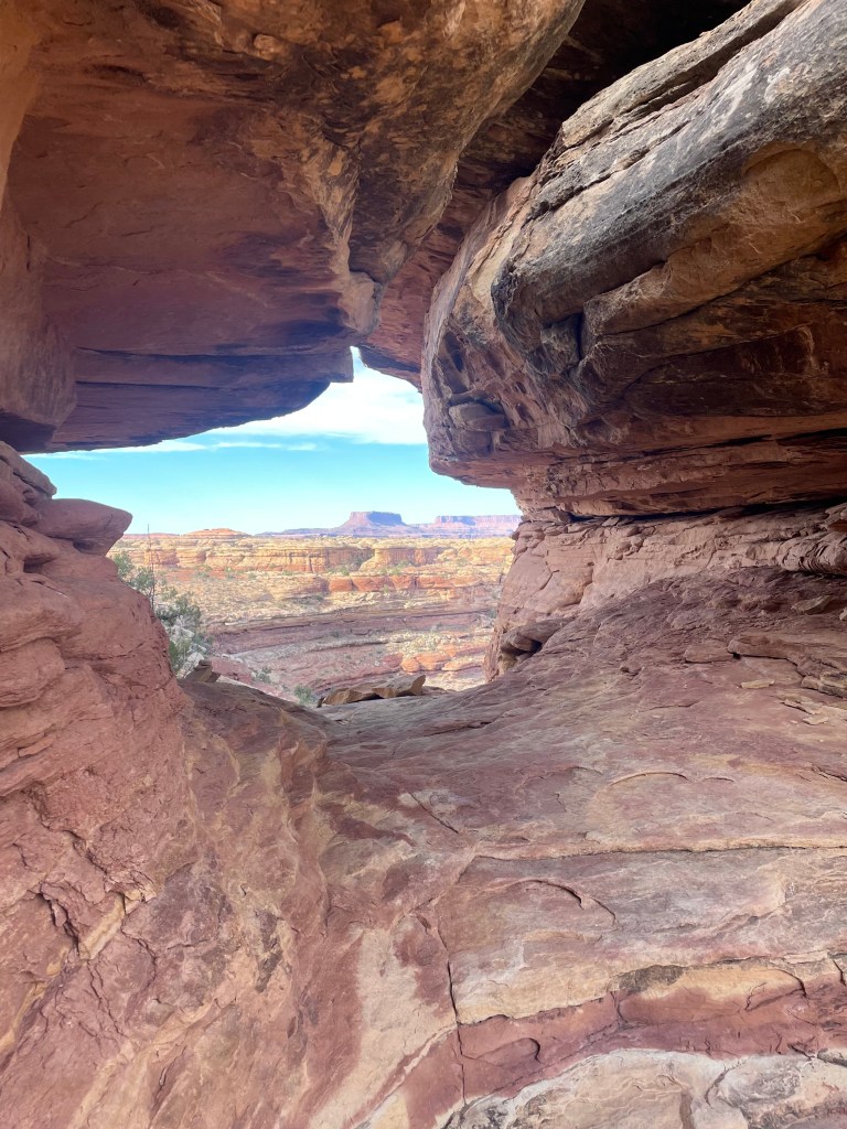
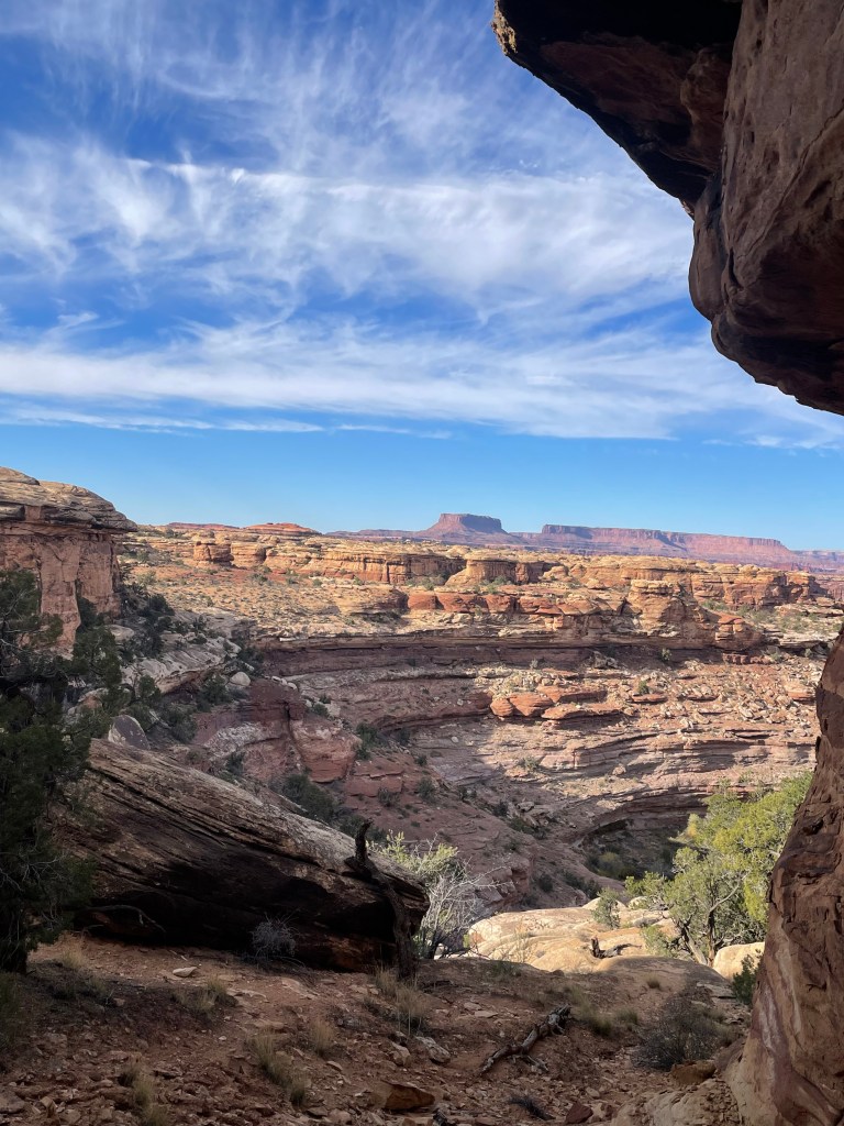
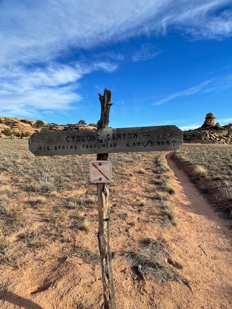
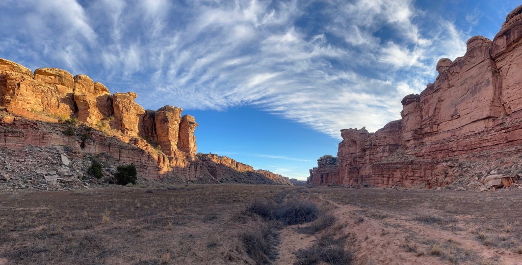
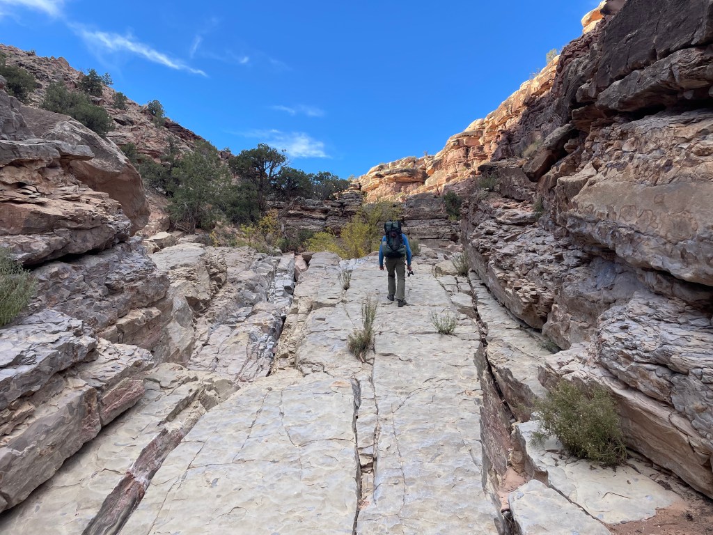
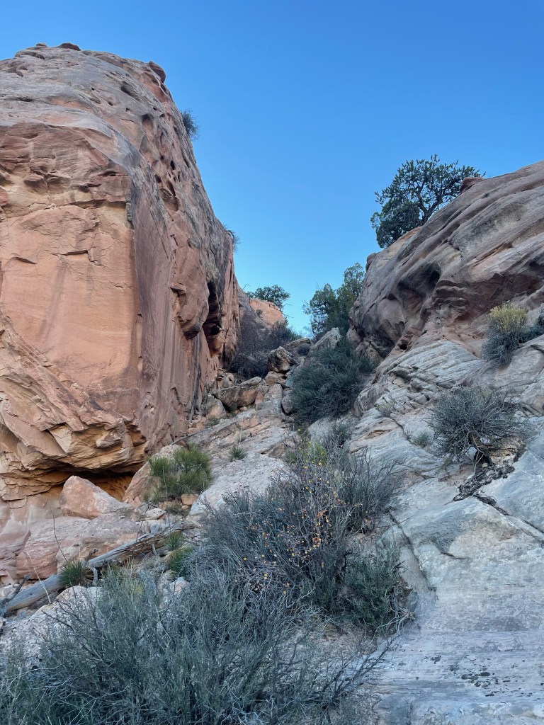
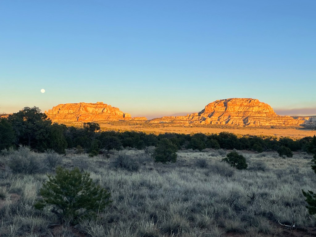
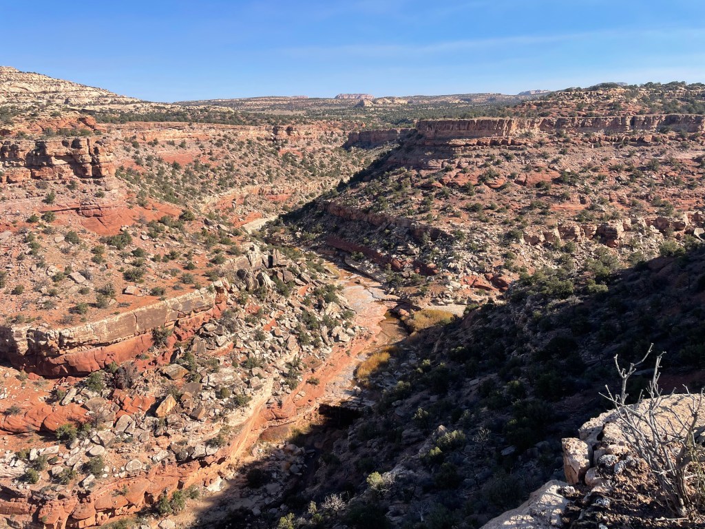
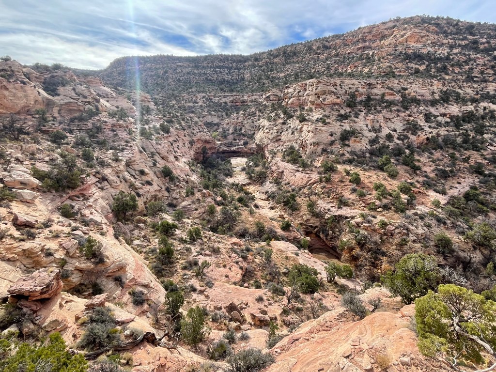
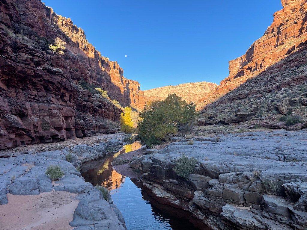
Once dropped off at Big Springs Canyon Overlook, we picked up the Hayduke on the Confluence Overlook Trail for a few miles, climbing in and out of canyons. The trail then turns on to Cyclone Canyon Trail for a few miles before jumping to the next canyon over. Butler Wash parallels Cyclone Canyon and eventually the Hayduke turns to follow it instead (for miles and miles).
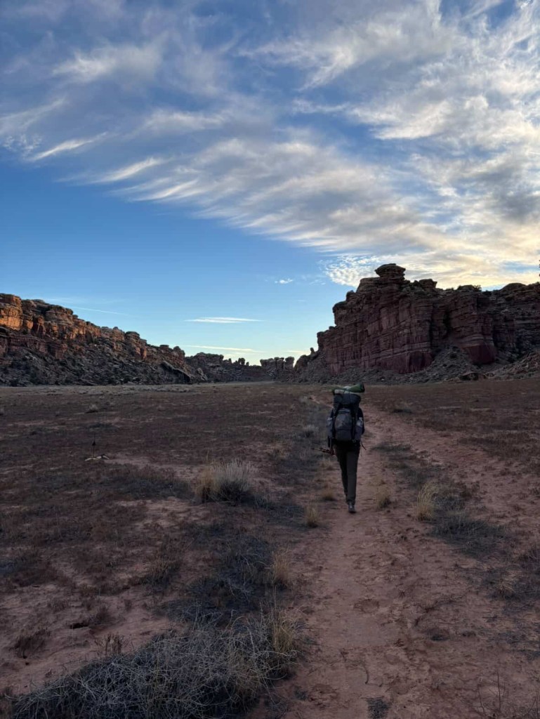
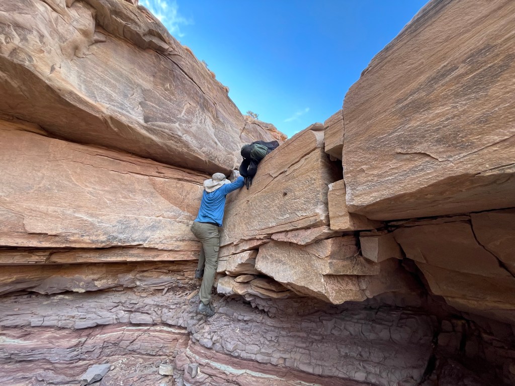
I hoped for us to make it to the Bobby Joe Campsite in the park, but due to the gas station detour taking up extra time, we ended up camping in whatever flat, sandy spots we could find at the confluence of Butler Wash and Chesler Canyon. It ended up a good call as the next morning we climbed through a few pour-offs that would’ve been interesting in the dark. You are supposed to camp in designated campsites within Canyonlands to protect the cryptobiotic soil, but with no crusts in sight of our camping area we felt a little better about our choice.
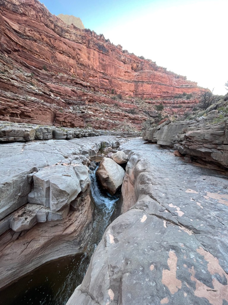
We know this from past trips, but traveling in canyons just takes more time, especially when involving pour-offs. The first two pours-offs were easy enough to climb over. The final pour-off had two parts, a climb up and then hiking up and around to by-pass the final section.
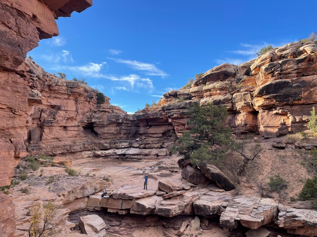
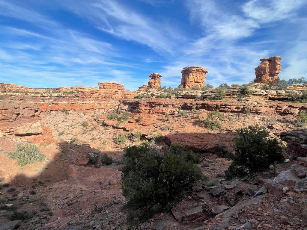
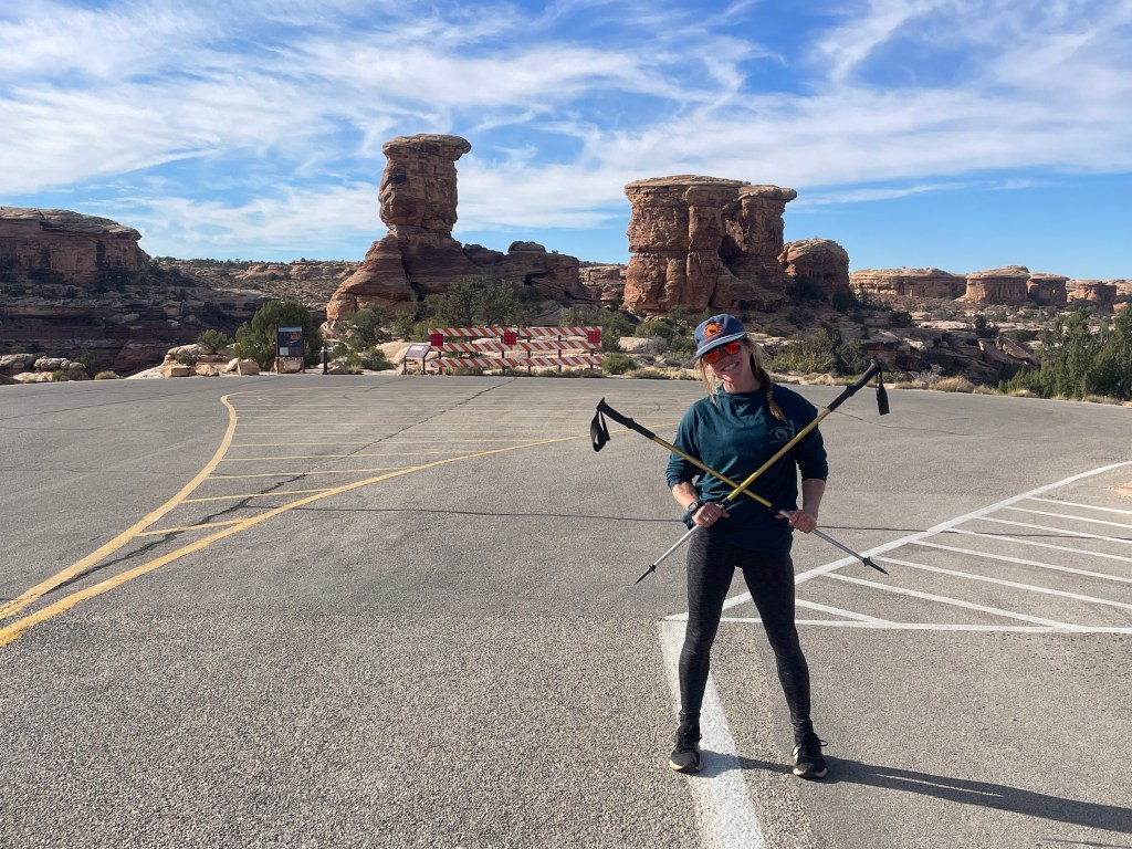
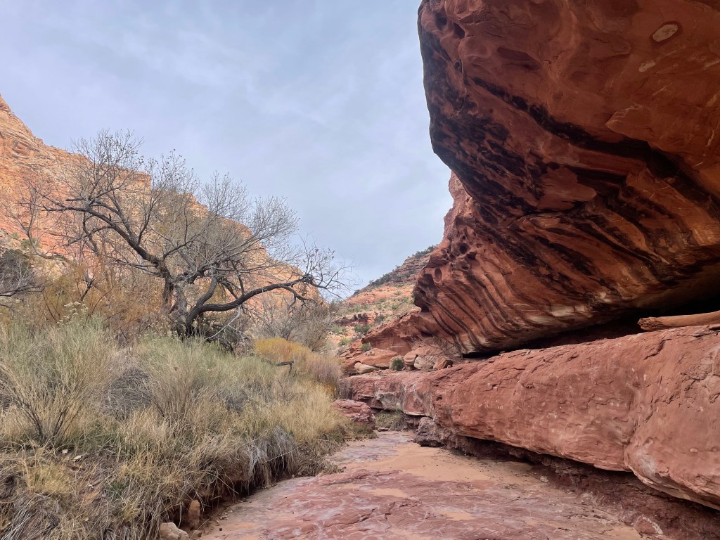
Once through the pour-offs, Butler Wash becomes many squiggly miles that eventually lead out of Canyonlands and into Butler Wash Wilderness Study Area. The miles were fairly easy and took us past some needles formations. You could take Butler Wash for many more miles until you pop out on SR-95, but instead the route takes hikers up a drainage to another canyon running perpendicular. Along the way we traveled through Seldom Seen Bridge. As far as I know, it’s the only landmark on the route with any sort of reference to the characters in The Monkey Wrench Gang (Seldom Seen Smith).
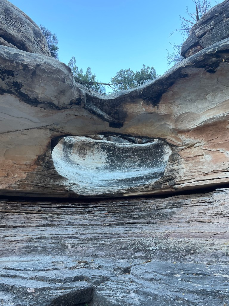
We were a little unsure if we should stay mid-level on a shelf in the drainage or make our way to the bottom, but we did know eventually we needed to hike toward the drainage headwall. Deciding to stay on the shelf, we arrived at the head of the drainage to scramble up a steep slope through a small gap.
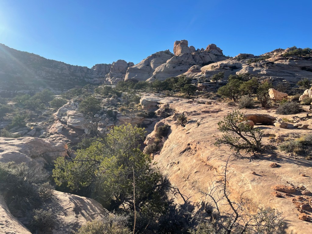
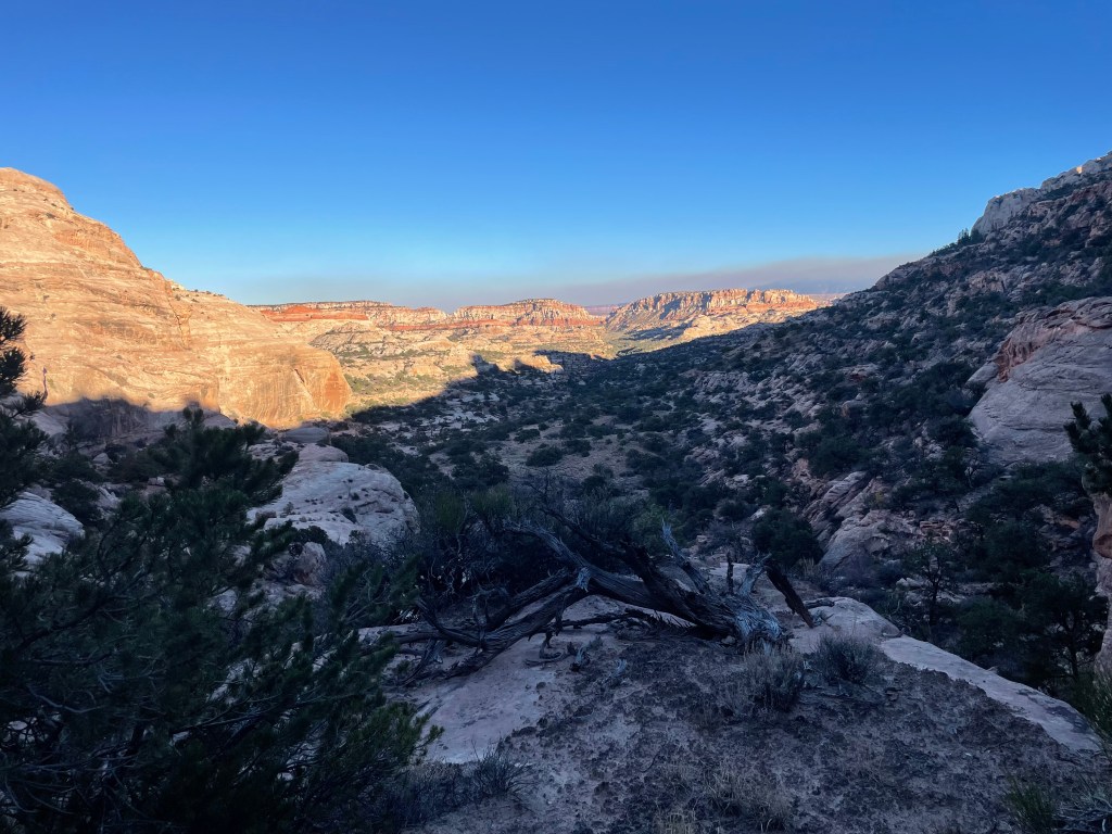
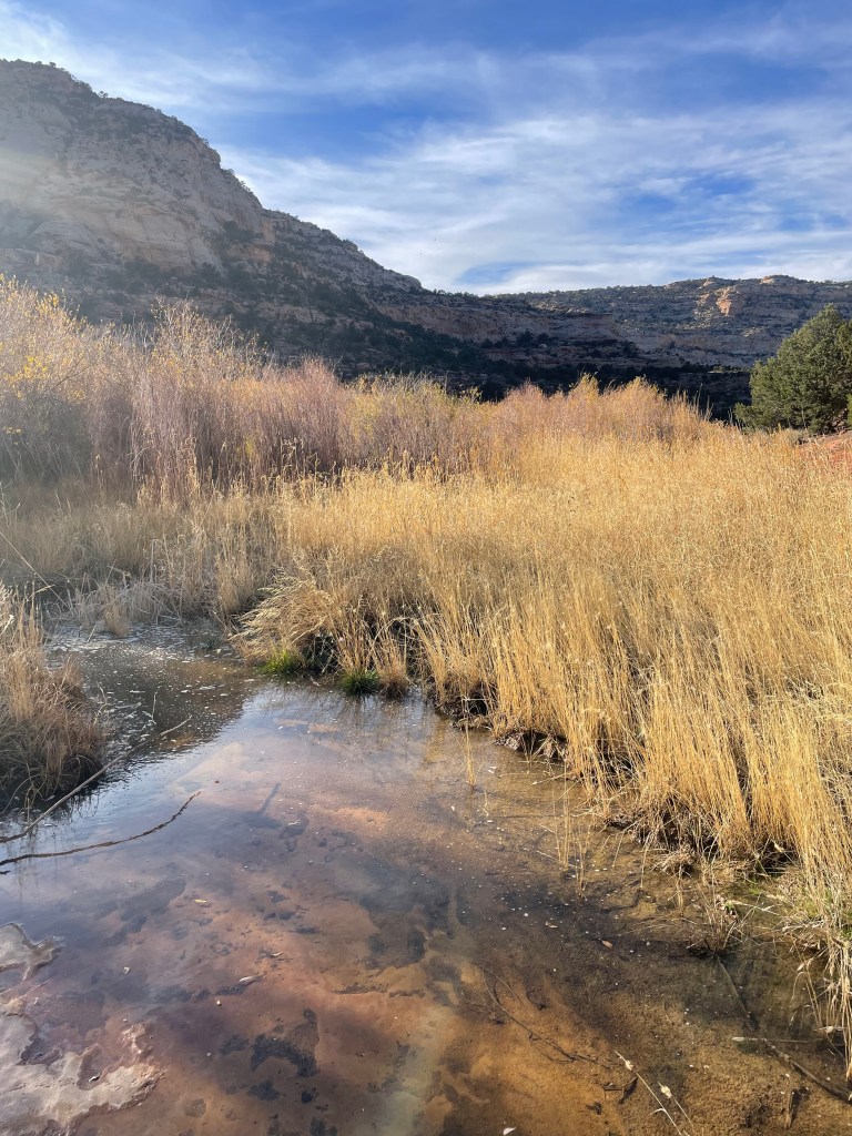
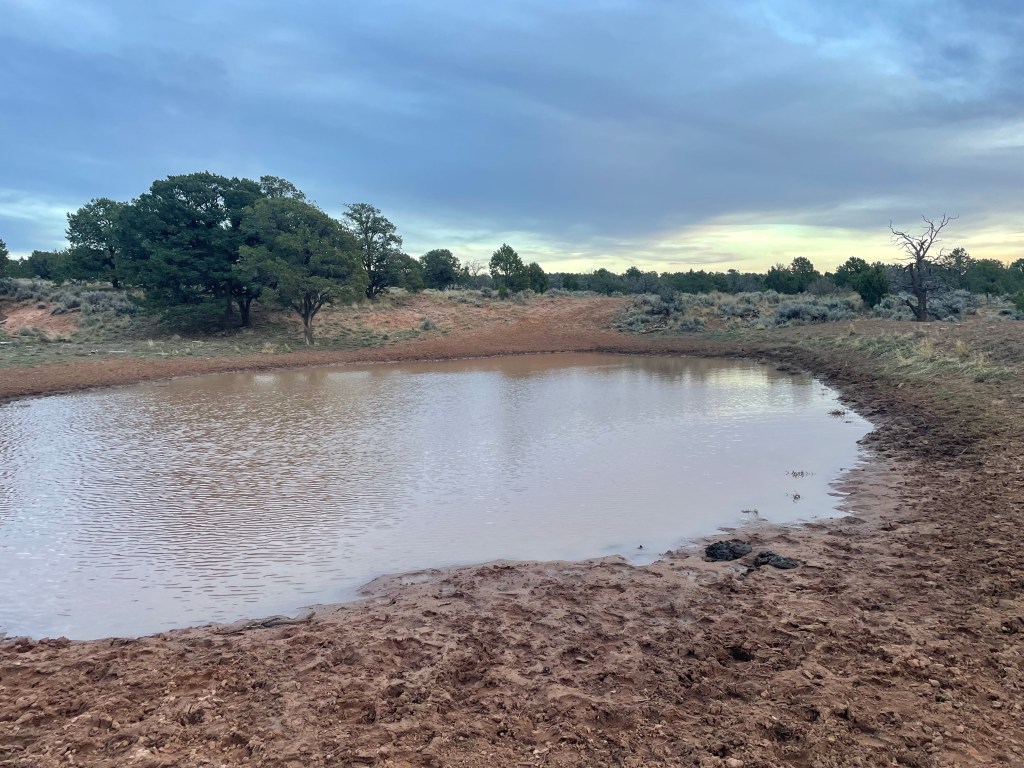
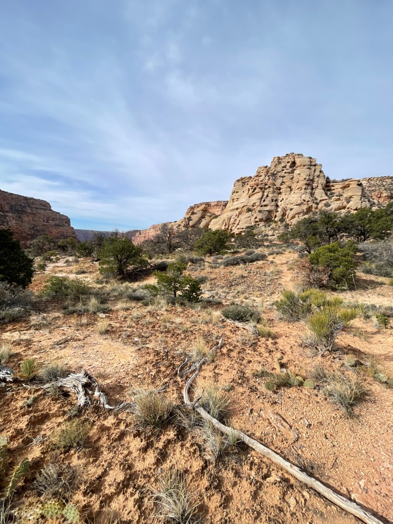
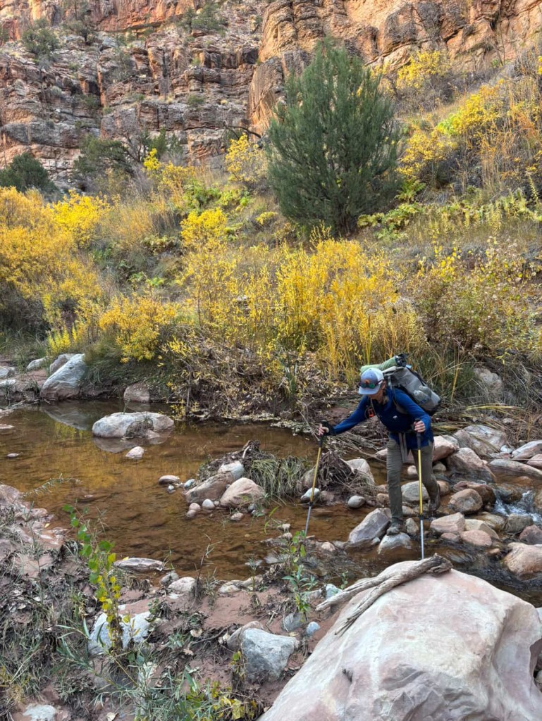
Once out of the drainage, the route took us through meadows and junipers as far as the eye could see. With a beautiful evening glow we hiked down a dirt road to the next canyon. We passed many lovely campsites along the way, but unfortunately we needed to make it to a spring located in the next canyon. Luckily we found the spring right after the sun went down. We had to go down one drainage via the route and then hike back up the next drainage over. It certainly wasn’t the best spring we’ve ever seen, but it was enough to refill our water supplies. Our campsite again was whatever flat, sandy spots we could find in the drainage once we were far enough from the spring.
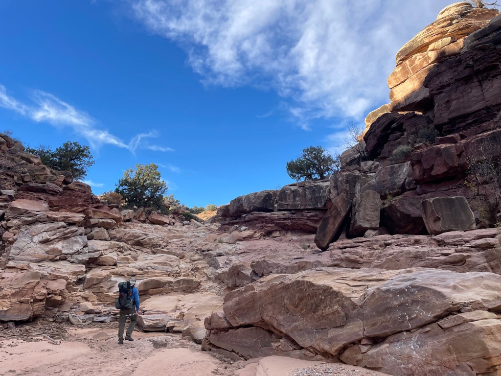
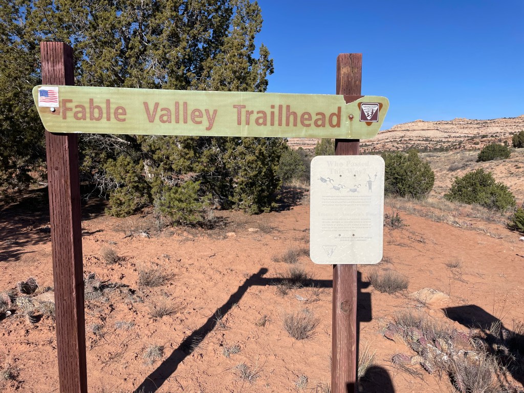
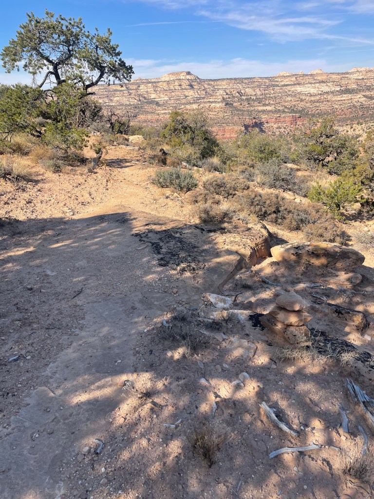
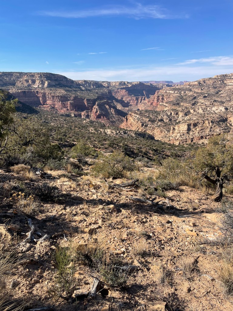
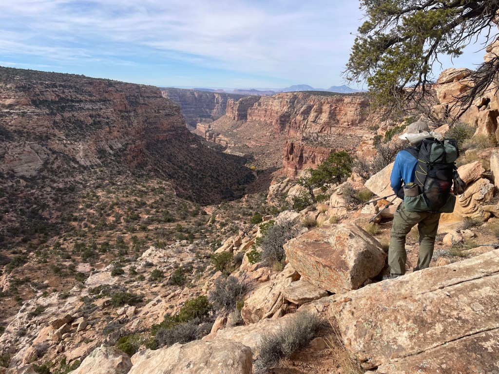
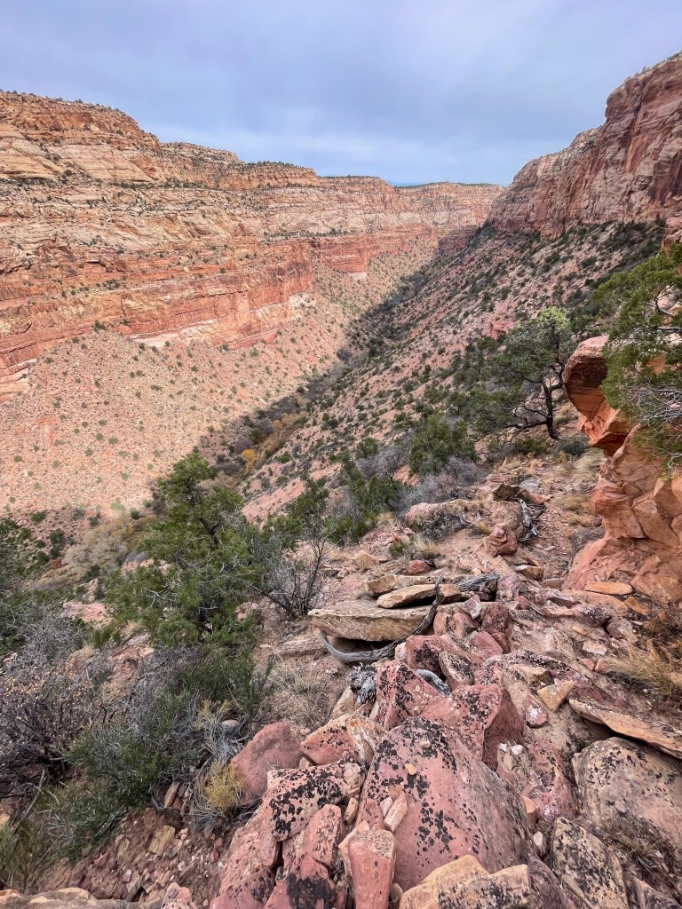
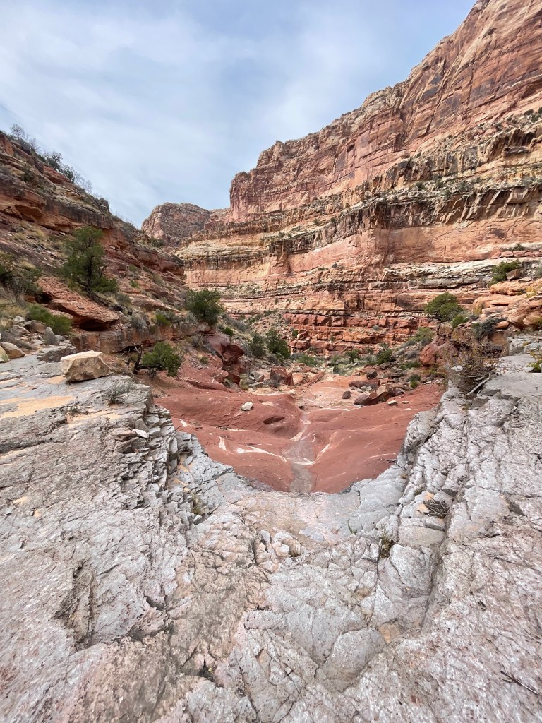
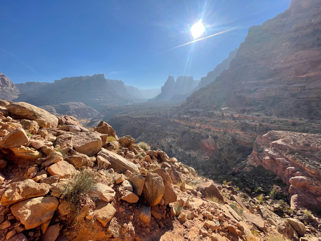
The next morning started off with working our way down the canyon. From there the route took us through another wash and onto a dirt road leading to Fable Valley Trailhead. For a very remote trailhead, it still had several visitors over the past month. Theoretically the route finding should have been pretty easy from here, but I didn’t look at the map closely enough. The route takes hikers up and away from Gypsum Canyon, but for about thirty minutes we hiked along the canyon’s rim before I realized my mistake. At least we got some great views of Gypsum Canyon!
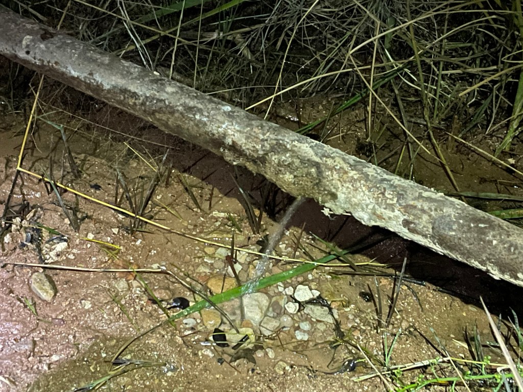
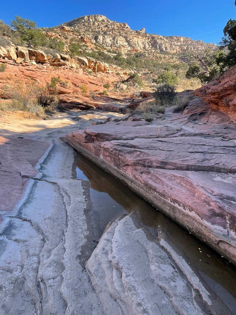
Once almost back to Fable Valley Trailhead, we took a closer look at the map again. There is actually a well defined trail the route follows, it’s just difficult to find at the beginning. Stumbling our way cross country, we started heading in the correct direction. After a pause for lunch and a much needed break, we accidentally walked across the correct trail shortly after (of course). From there the miles were easy, traversing in and out of drainages. We found a water pool good enough for scooping, though the color was a little questionable; even after filtering the water had a yellow tint. I usually just filter my water, but I added some chemical drops too, just in case.
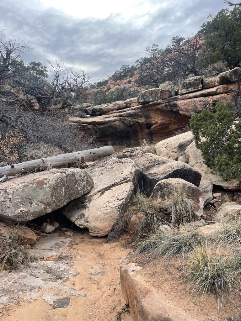
The route continues up Fable Valley and then out a drainage with, as described by the route creators, “numerous pour-offs.” For almost all the pour-offs we had to take steep routes up and around. Once you think you’ve finally made it out of the drainage to open juniper country, the route takes hikers over one final steep climb.
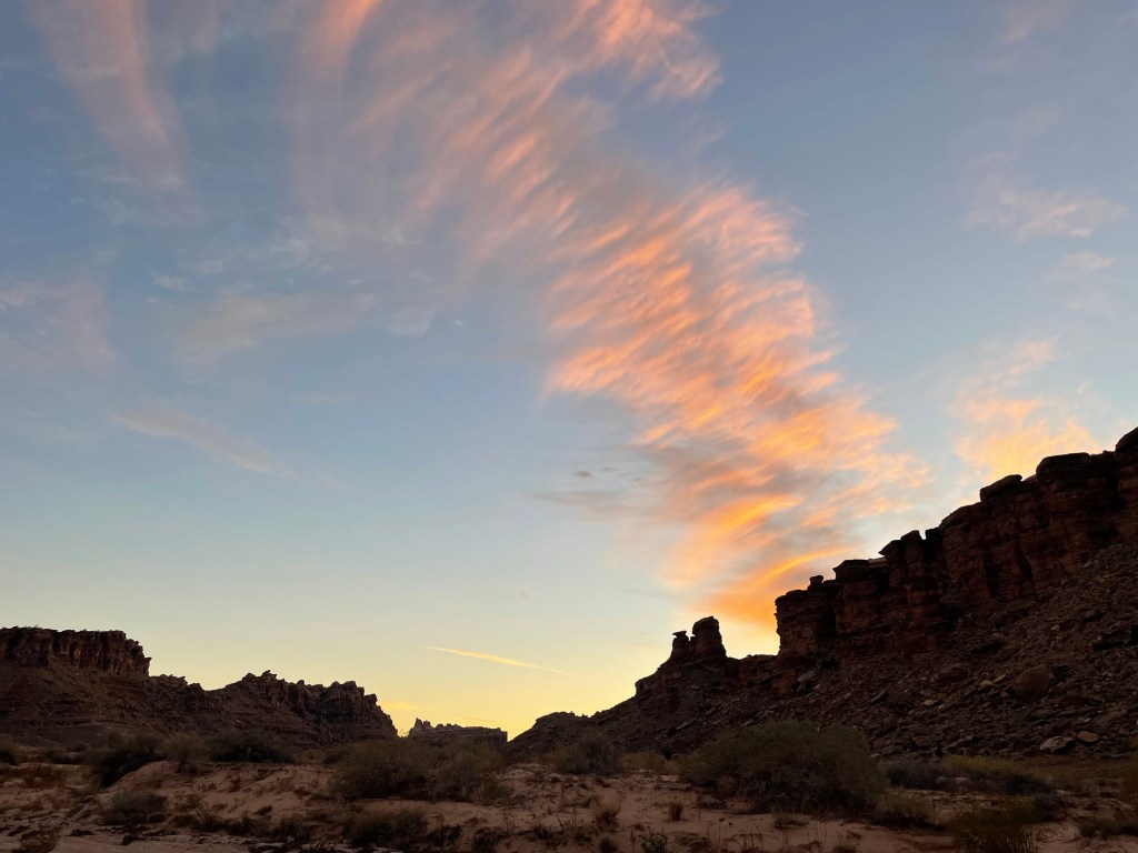
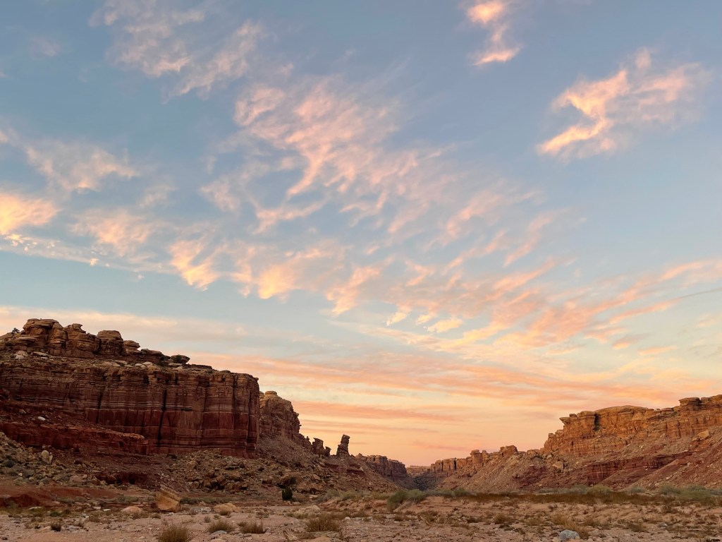
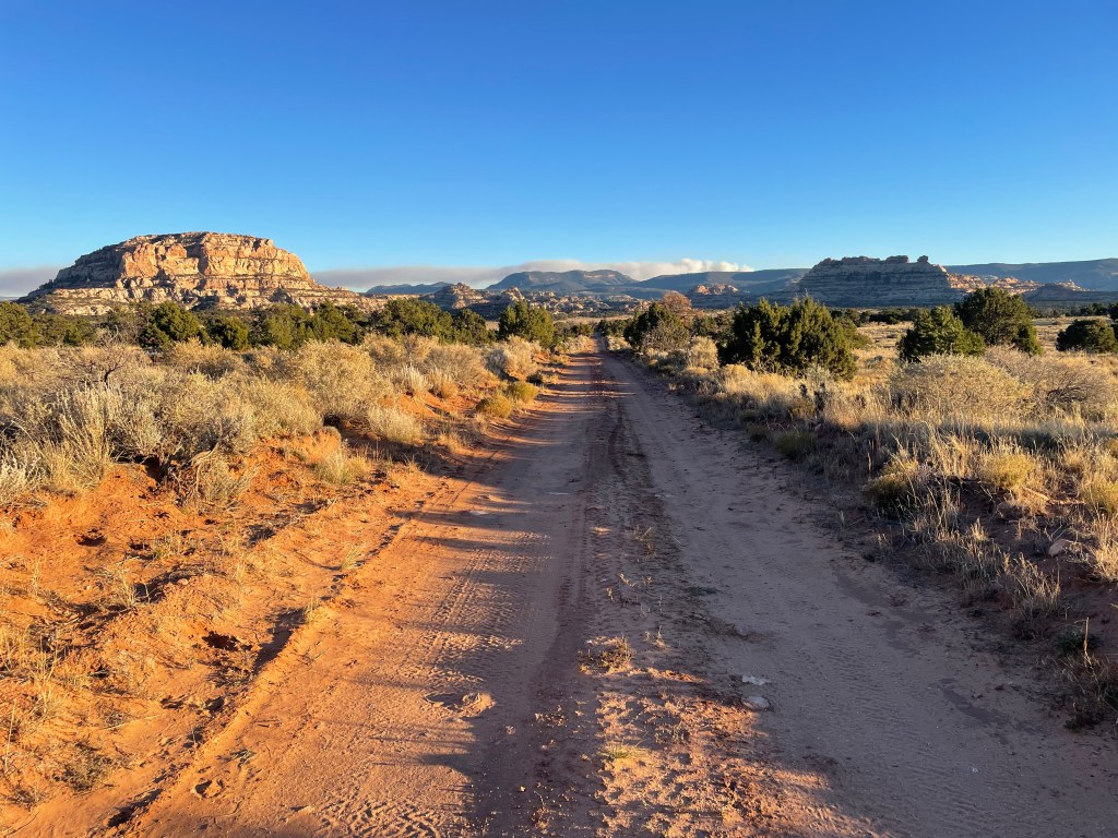
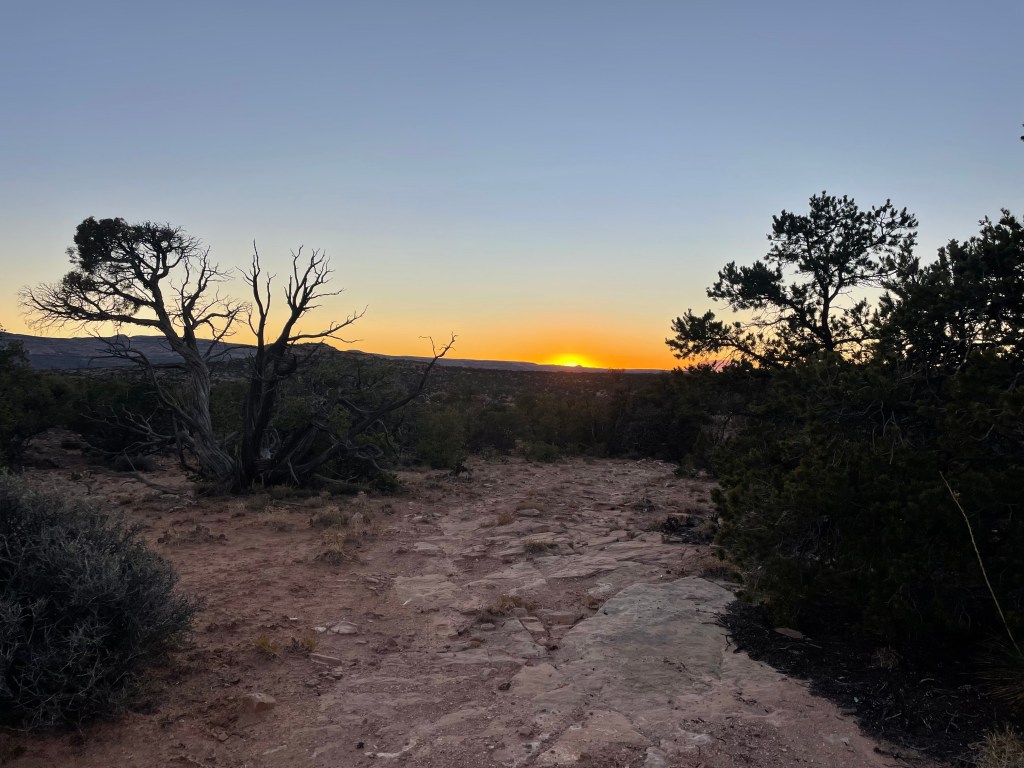
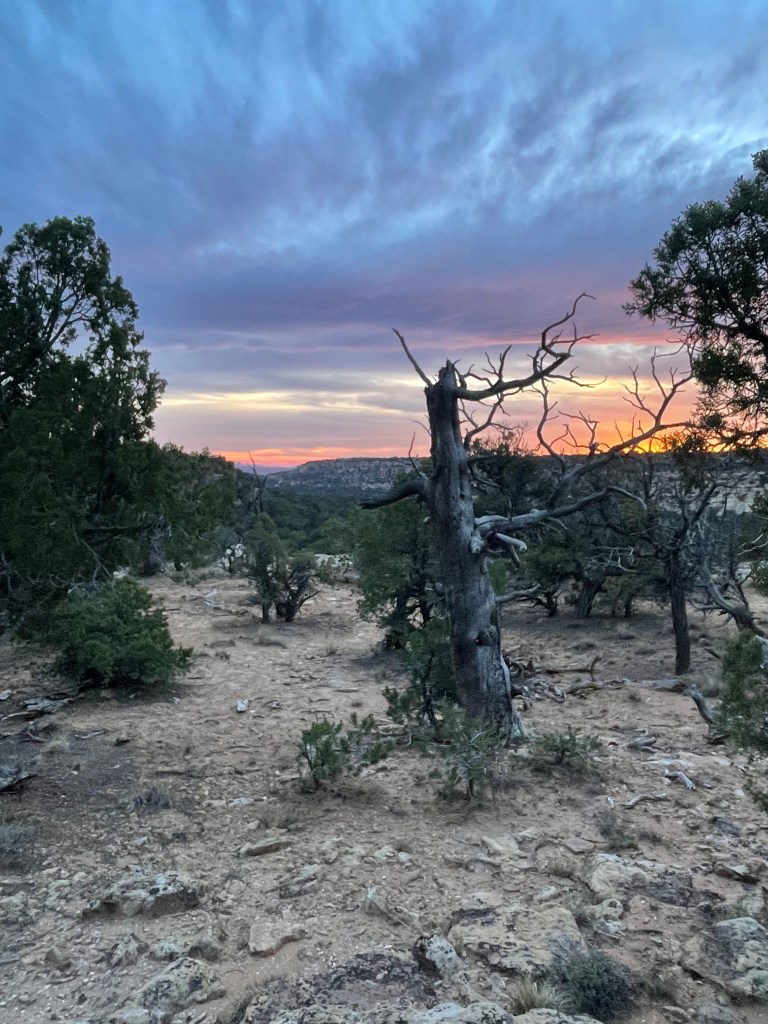
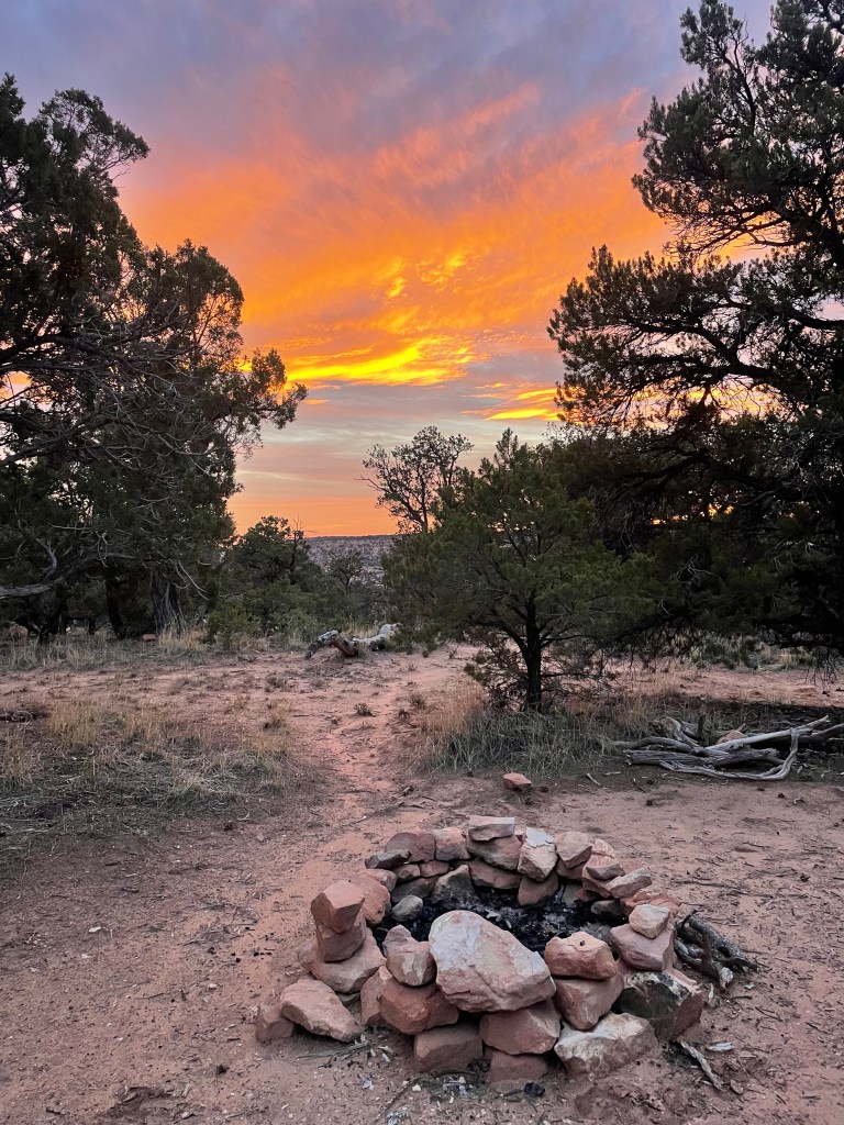
Finally out of the drainage the route takes hikers a couple miles cross country to a dirt road and a stock tank. We followed the road a short ways from the tank to a perfect campsite. The next day promised to be the most difficult yet navigation wise, so we called it for the evening. The sunset colors became more impressive with each passing minute, making us pretty set in our decision to camp. A herd of elk with a huge bull elk went trotting by to complete a perfect evening scene. That evening I heard ATV engines, which Colin also confirmed hearing in the morning, surprising us because these dirt roads are so remote.
Despite the challenges of the previous days, day four was the most difficult. The morning started down the road for about a mile before taking off cross country into the paralleling wash. The wash slowly turned into Young’s Canyon as we headed down. The route description specifies a “large pour-off” as a landmark to the head up out of the canyon for a few miles before re-entering at another side drainage. For awhile we followed unmarked trails, presumably from previous Hayduke hikers.
Arriving at what we assumed had to be the “large pour-off”, we started scrambling our way up and out of the canyon. Following the edge of Young’s Canyon we came to a large side drainage, our entrance back into the canyon.
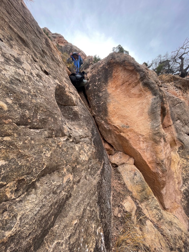
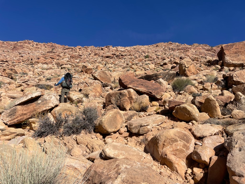
It took us a few moments to determine the best route down, as we had to drop down some, while short, very steep rocks bands. Once through the rock bands we headed towards a “sandstone tower” and then began the steep descent on crumbly ground to the canyon floor (described by the route creators as a “suicidal scree”). We lowered the packs in one spot and then slid down a rock band, using a large crack to help control our descent. The ground was so loose, I may or may not have gone sledding for a few feet.
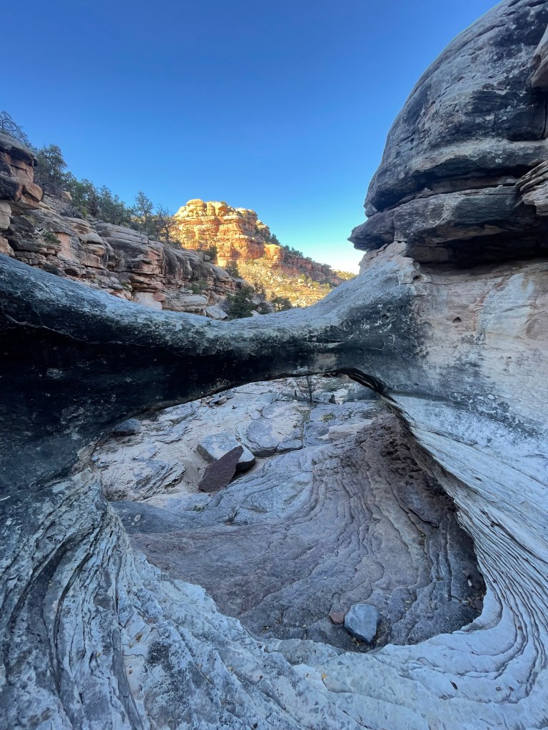
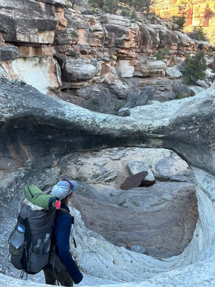
The route description says “life gets better in Young’s Canyon”, but it offered a few more navigational surprises. The unmarked trails continued once back in Young’s Canyon, sometimes with paths on both sides. At one point we ended up on a shelf at the canyon’s mid-level on the north side, but for some reason I felt like we needed to be on the south shelf. Luckily, we backtracked to that side because we found several cairns marking a route down from the shelf into yet another side canyon. We knew we had to navigate down a few more easy pour-offs, which ended up being in this side drainage.

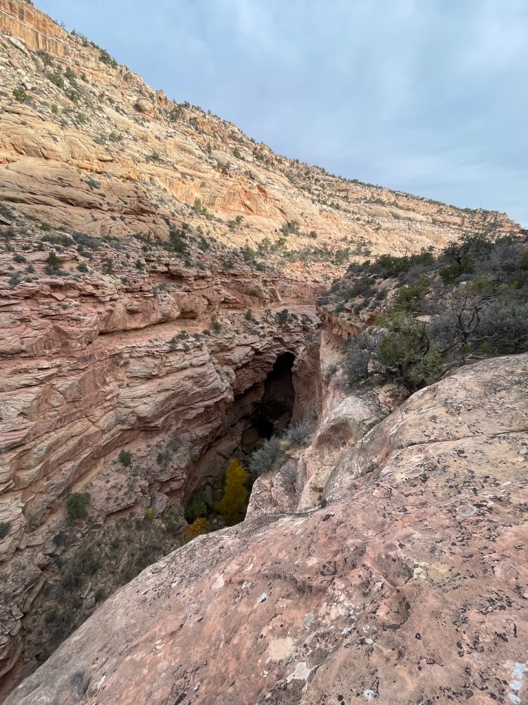
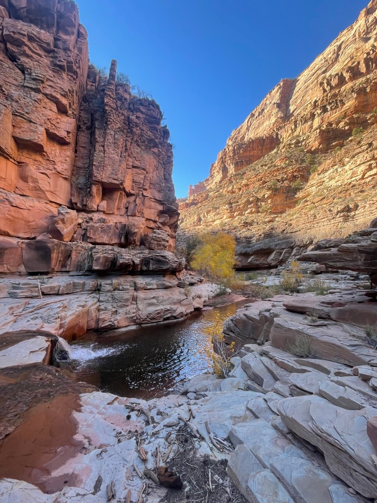
The last part of Young’s Canyon was choked with tall grass (over our heads tall). At this point a creek flows down canyon. We tried our best to stay out of the water, but while pushing our way through the grass we stumbled into the creek a couple times. Young’s Canyon has one final surprise, a waterfall at the confluence with Dark Canyon. With one more rock scramble into Dark Canyon, life finally did get better. The running joke for the remainder of the trip was “life actually gets better in Dark Canyon.”
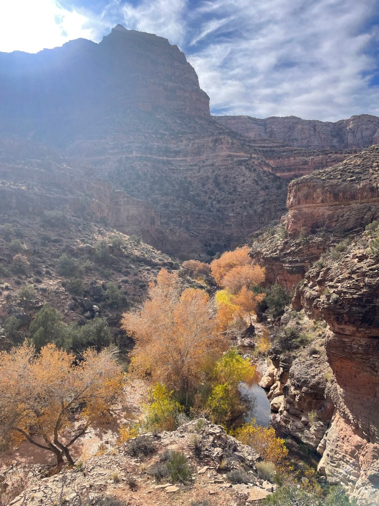
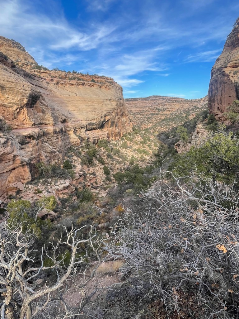
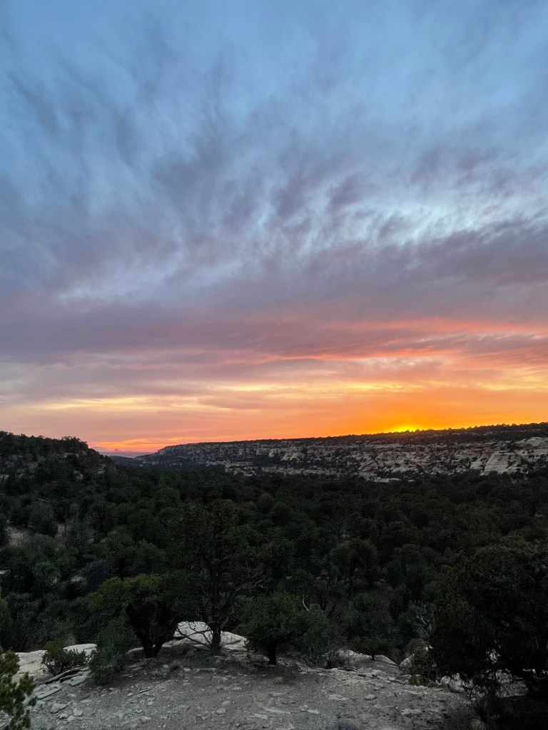
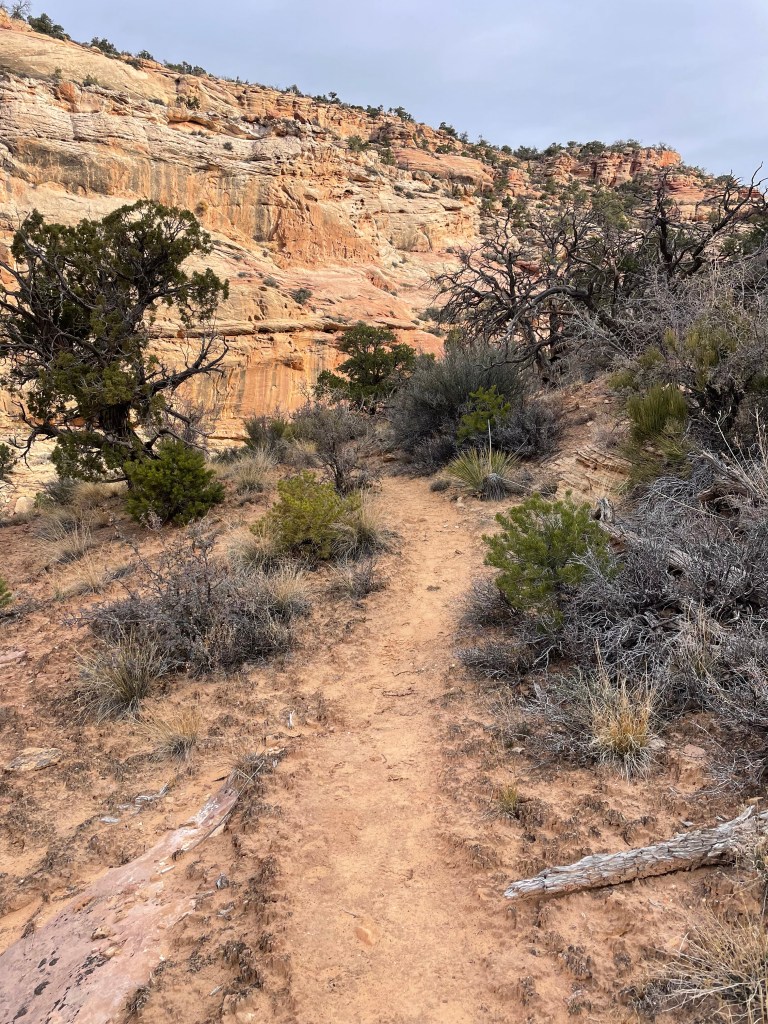
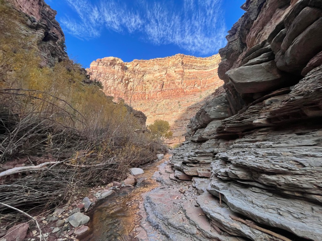
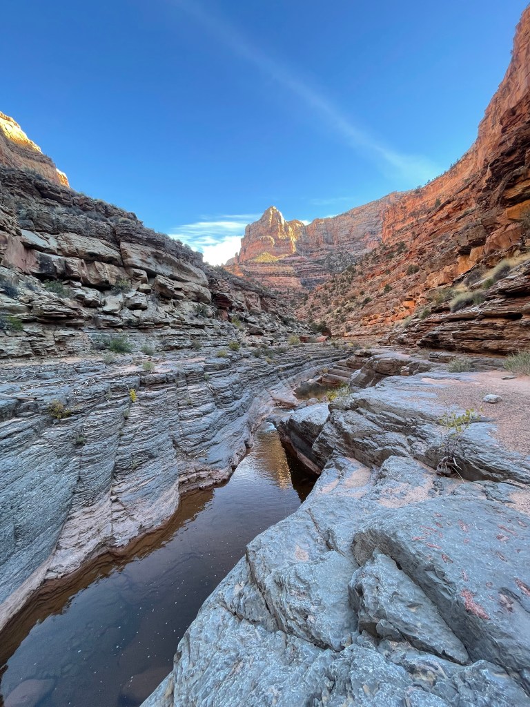
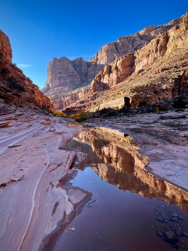
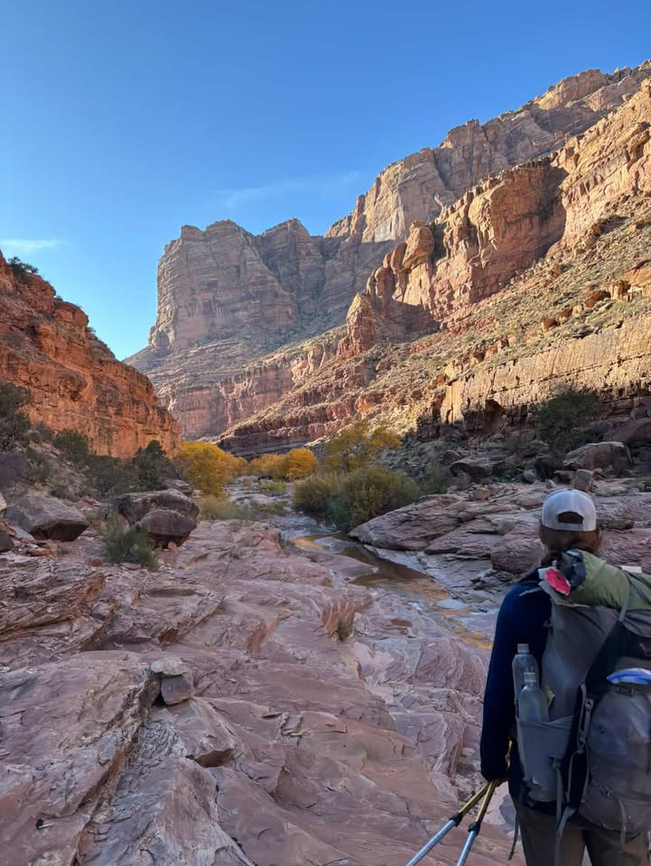
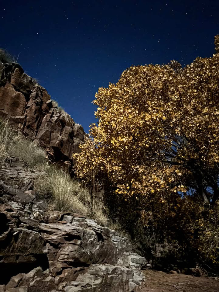
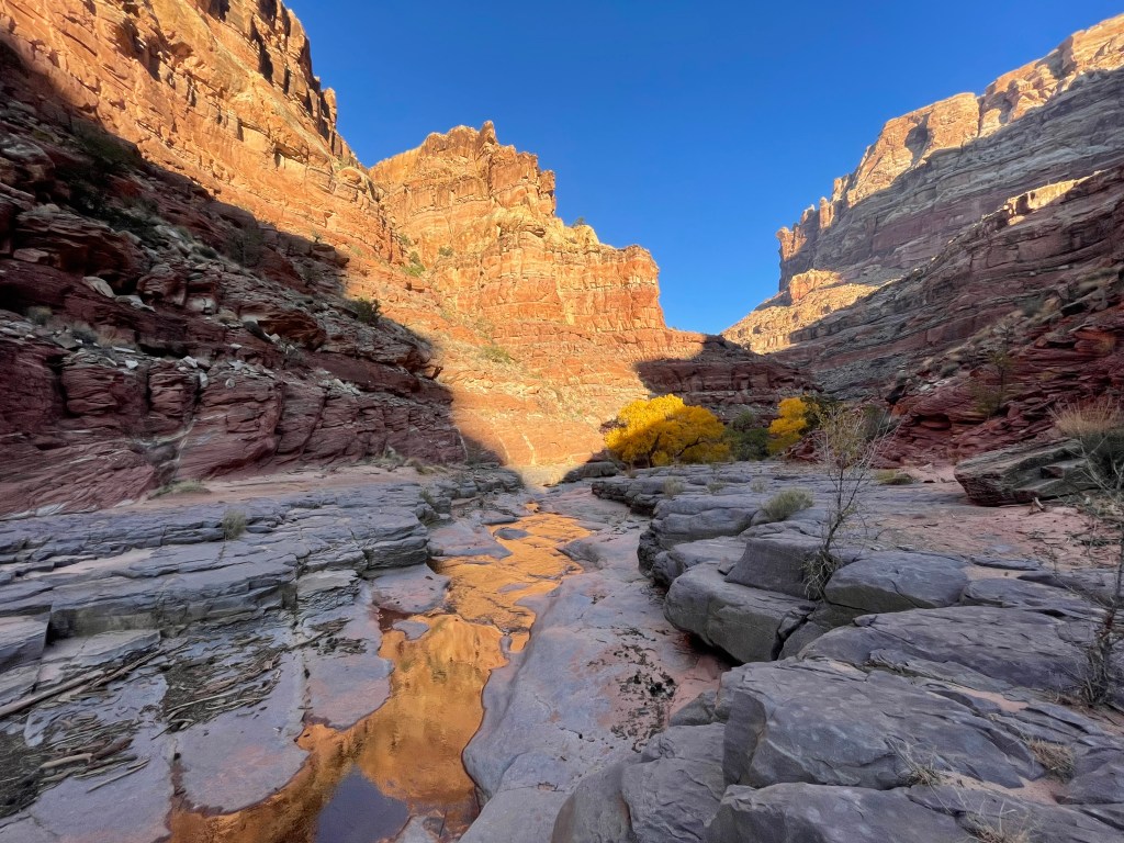
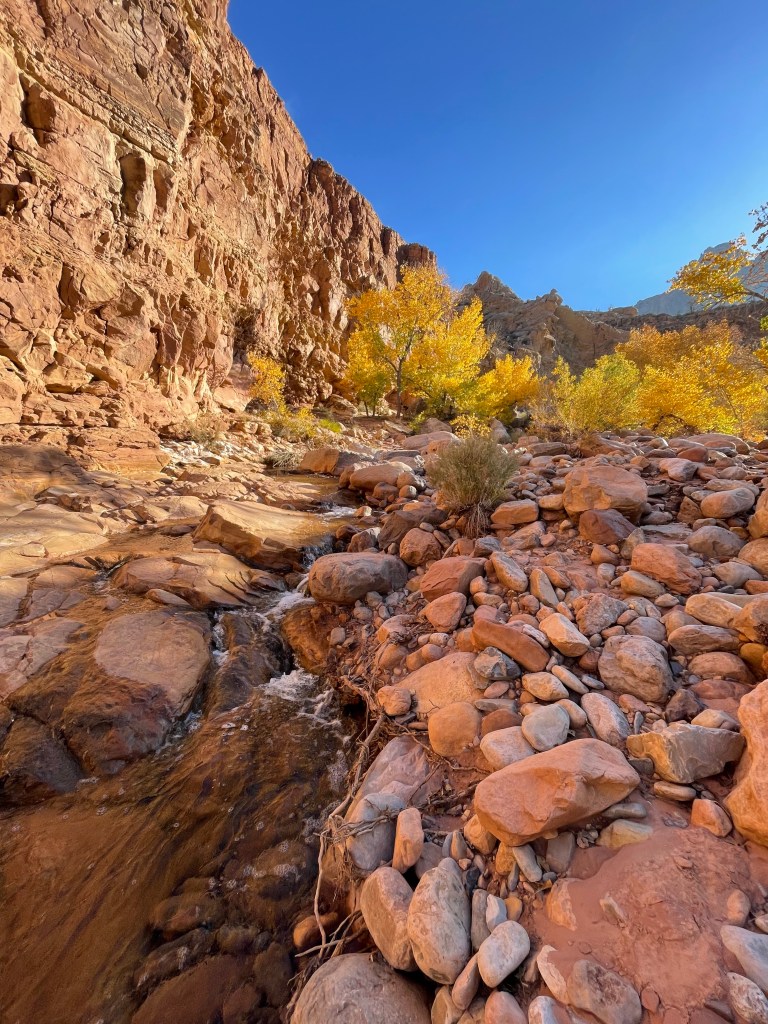
Dark Canyon is incredible. For about seven miles the route follows the canyon as hikers travel just above the the creek on slate colored shelves. Every now and then a rock shelf ended and we’d have to back track a short way to a shelf on the other side of the creek. The trees in the canyon were in full fall colors and glowed against the canyon walls. Dark Canyon twists and turns its way to Glen Canyon National Recreation Area, complete with several short waterfalls.
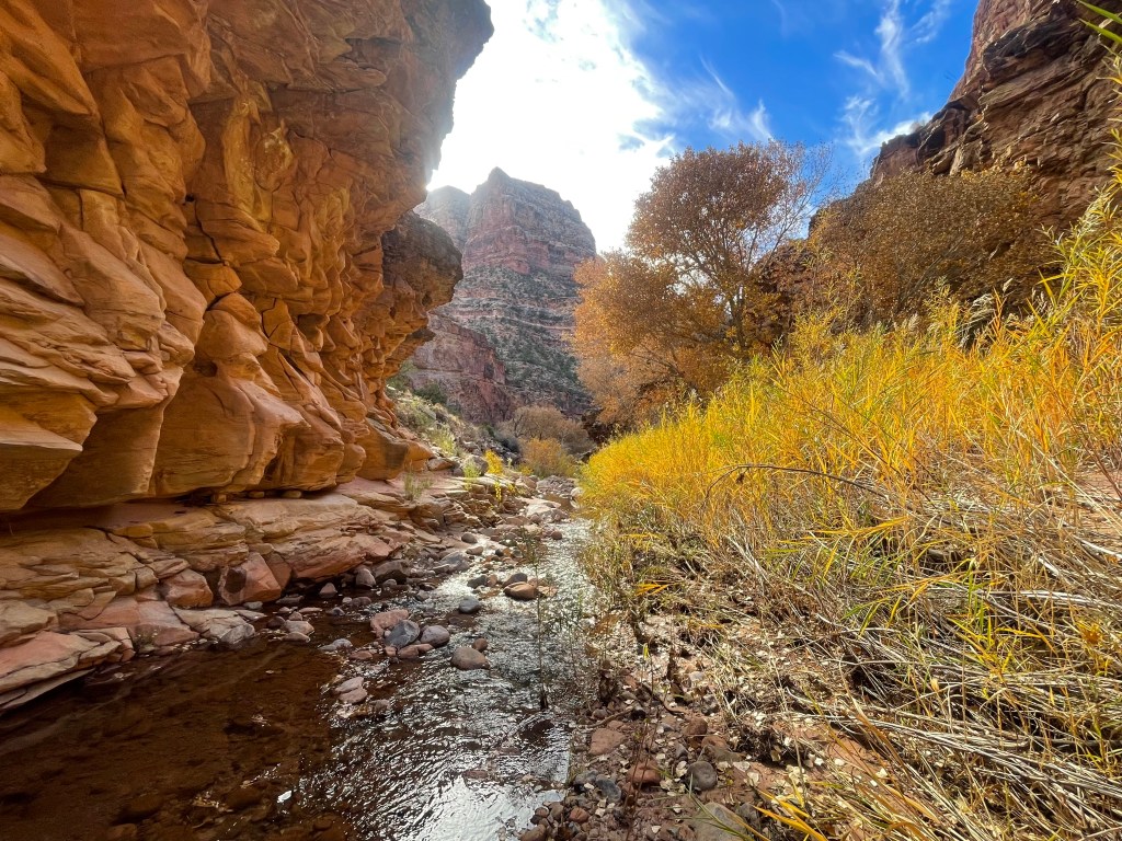
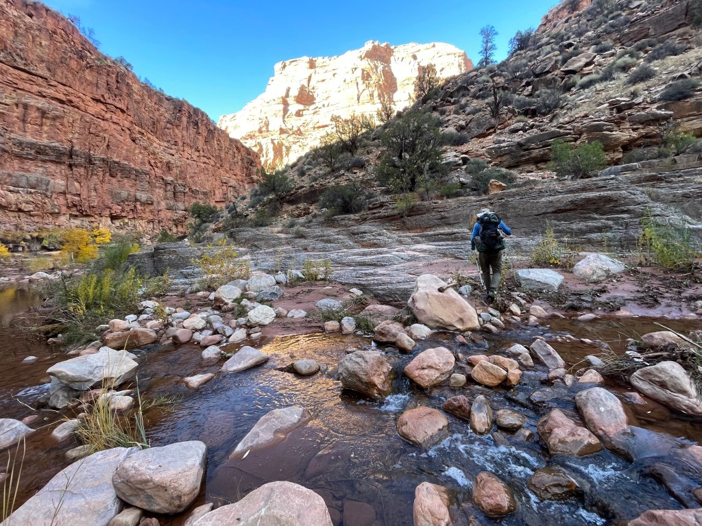
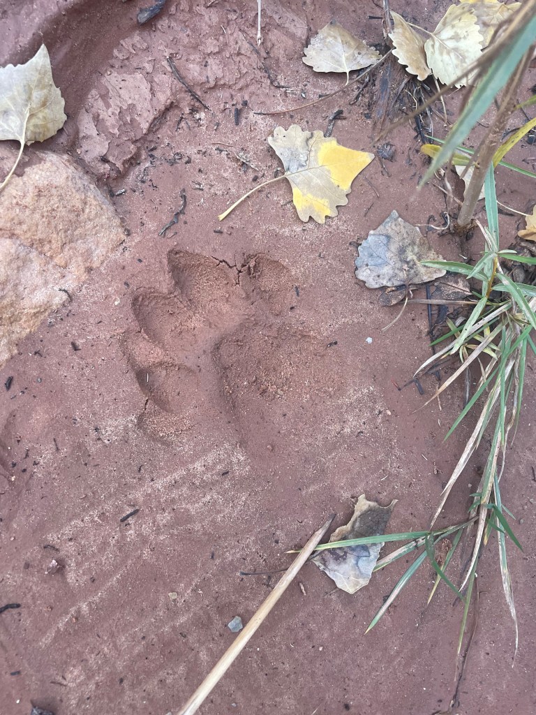
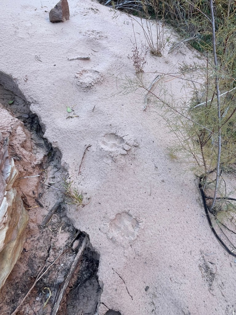
Making our way down Dark Canyon we started seeing more signs of backpackers/day hikers and some pretty nice campsites. For most of the afternoon we followed one set footprints as they crisscrossed the creek. We also followed a set of mountain lion tracks for almost the entire length of the canyon. We weren’t sure who was following who, but every time we crossed the creek the mountain lion tracks appeared on the other side as well.
I hoped for us to make it the entire length of Dark Canyon by evening, but with the sun going down and about a mile and a half to go, we decided to call it a day on a small beach. While not the longest mileage day of the trip it was definitely the most difficult and we were ready for a break.
The final day wasn’t difficult navigation wise, just a lot of mileage. We made it through Dark Canyon to its confluence with Lost Canyon and Lean-To Canyon. This canyon confluence is where Bears Ears National Monument turns into Glen Canyon National Recreation Area. Dark Canyon was the last place for us to get water for the rest of the day, so we stopped to fill our bottles.
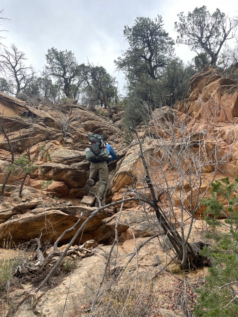
The route leaves Dark Canyon on the Sundance Trail, a short, but very steep, climb; we gained about 1,200 feet of elevation in just under a mile. Trail is definitely a loose word as we picked our way up through the boulders, but there is some semblance of a path. We saw a couple backpacking groups headed down, the first people we’d seen since the start of the trip back at Big Springs Canyon Overlook.
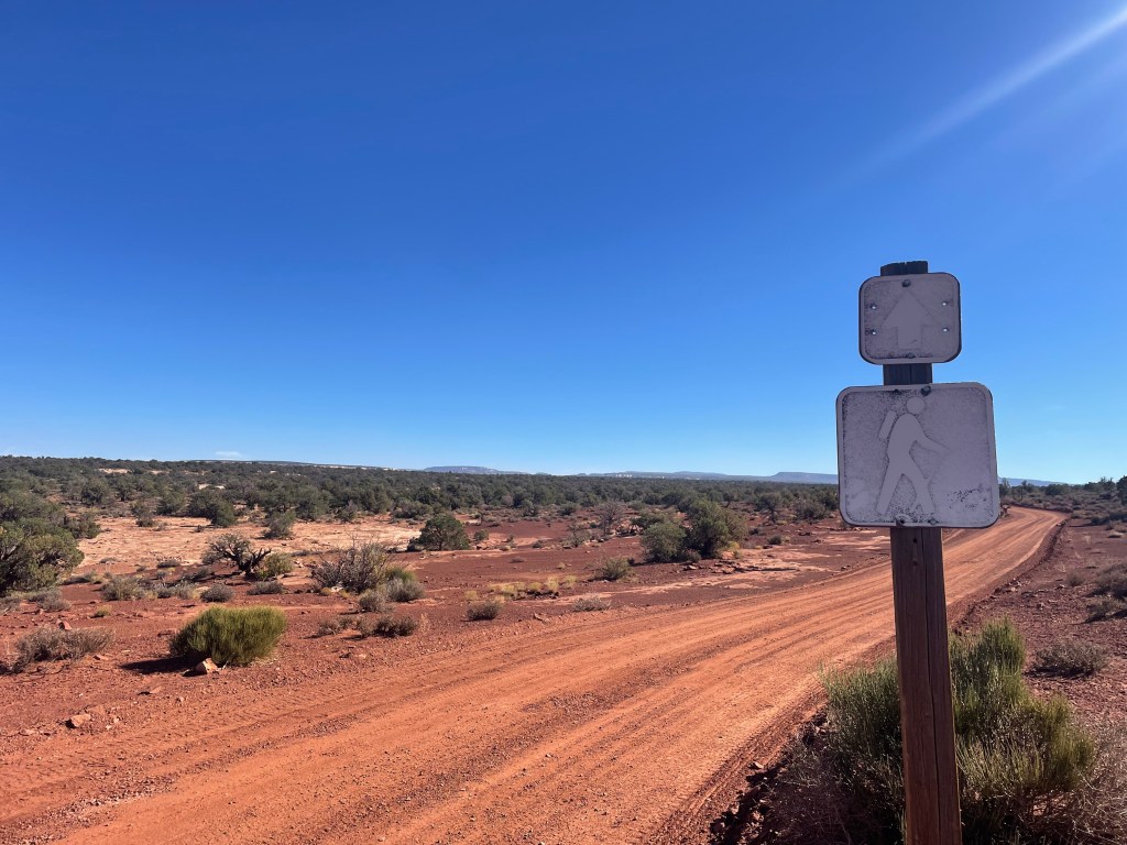
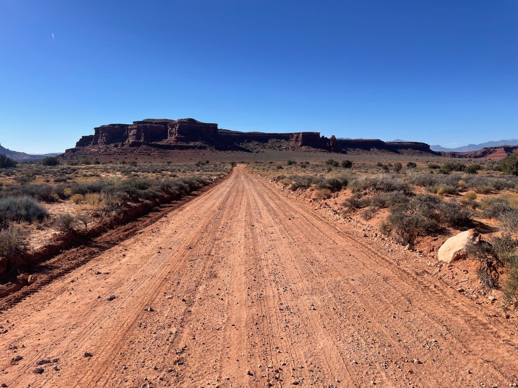
Once out of Dark Canyon we had one last bit of route finding through a small drainage with a couple more steep climbs, but definitely not the hardest thing we’d done in the past few days. Cross country walking brought us out to a dirt road to follow about thirteen miles all the way back to SR-95. Hooray.
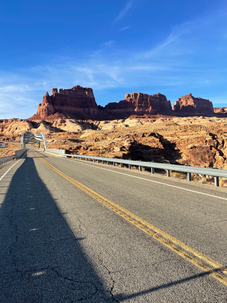
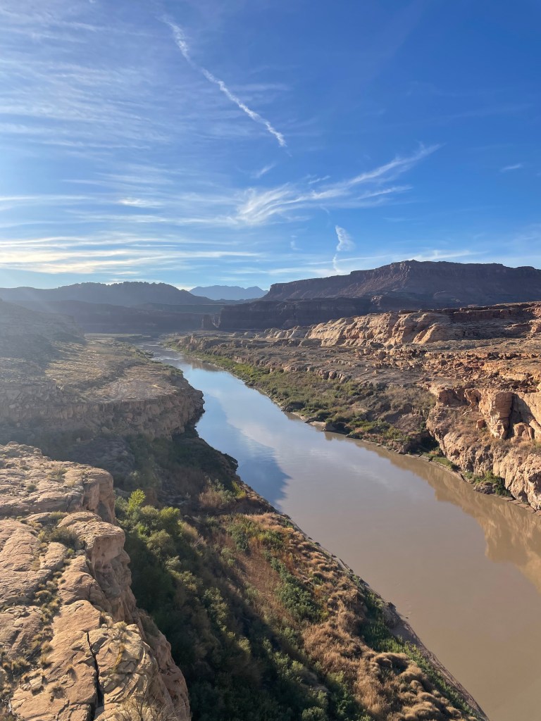
We cruised through the road miles. We didn’t take many breaks since there wasn’t much shade to find. We were also both pretty tired by this point and ready to be back at the truck. With one final break right before SR-95, we walked the final two miles down the highway to Hite Crossing. The highway crosses over the Colorado River and then has one last uphill climb to the section end point at Flint Road.
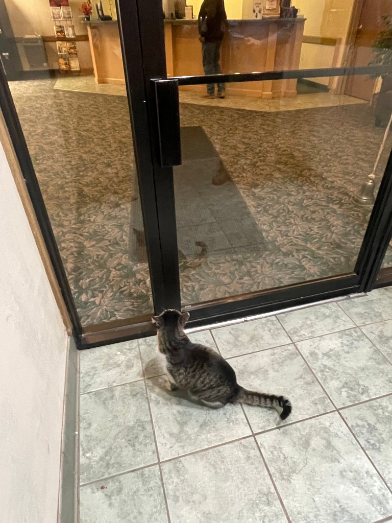
We made it back to my truck around 4:30PM. It’s always relieving to see my vehicle where I left it at the end of a trip. With it being so late in the day we decided to drive into Blanding, UT to sleep before heading home the next day. The thought of being clean for the drive home sounded pretty great too. One final stand out note from the trip was a kitty waiting at the door to the hotel lobby to be let in.
While one of the most challenging trips I’ve been on, this is probably one of my favorites of all time. The landscape was beautiful, rugged, remote, and constantly changing. There’s also something to be said about not really knowing what’s coming next or how to proceed, just that you’ll have to figure it out.
With this section complete I’m about halfway through the Hayduke Route. At about 400 miles to go, I can only imagine what adventures and canyons the rest of the route holds. There’s just something so special and magical about this route and the southwest that I have to keep coming back for more.


