California, Section N: Belden to Burney Falls State Park
Section O: Burney Falls State Park to Highway 5
Our hike in the desert doesn’t even compare to Northern California in July (granted I don’t want to be in the desert in July). It has been very warm these past several days, but at least my hiking partner is back. Charles rejoined me a couple days after I arrived in Chester and we’ve continued hiking. We’re now at mile 1501.2 of the PCT and on day 111.
I left Belden in the afternoon, instead of staying the night like I planned. The thirteen mile hill leaving Belden is steep and hot for the beginning. There is also a ton of poison oak in stealth mode that one must watch out for when leaving the community.
Other than the hike out of Belden, nothing was too notable about my sixty mile hike to Chester. It was hot with longer distances between water sources. I did pass the halfway point for the PCT (more or less, it varies a bit each year due to reroutes), a huge highlight for the day! While excited to be halfway done (that’s 1,325 miles!) I was thinking, “Oh my goodness, now I have to go and do this all again…”


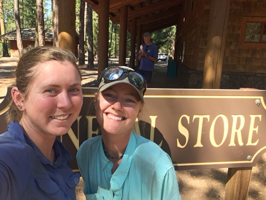
I had almost three days of relaxing in Chester where I ate way too much food (I explored the town via the restaurants) and enjoyed moving minimally. After Charles arrived we caught a ride out early afternoon to the trail.
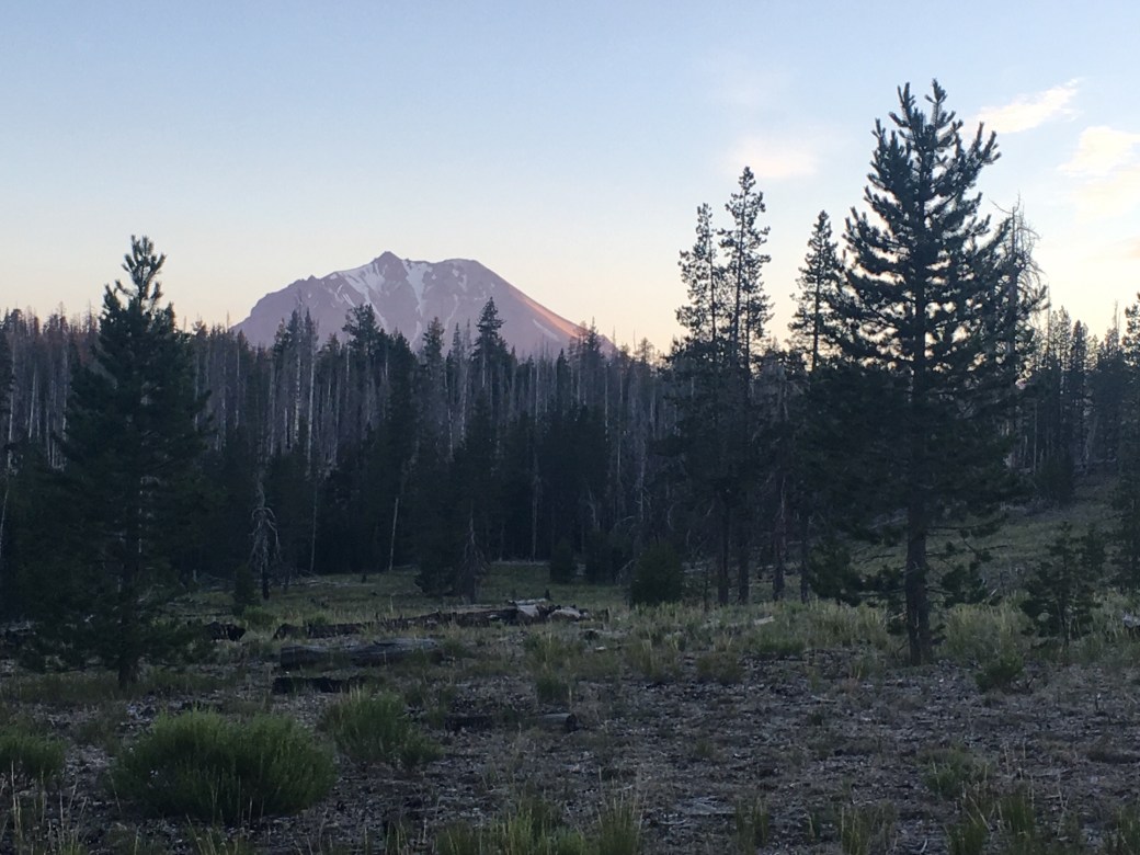
We spent one day hiking through Lassen Volcanic National Park. As of last year, hikers spending the night in the park are required to put all smellables in a bear canister. Instead of having our canisters shipped back for one night we just hiked through the park in what became a twenty-five mile (19.3 miles through the park) day. In the park we saw our first bear on the trail (on it’s best bear behavior), visited Terminal Geyser and Boiling Spring Pond, and had beautiful views of Mt. Lassen.
We had a bit of a mix up at the end of the day with Charles thinking I hiked past him without realizing it (it’s happened before) and me thinking he was behind me. Even though we couldn’t find each other for the last nine miles of the day we were apparently both in the same areas around the same times.


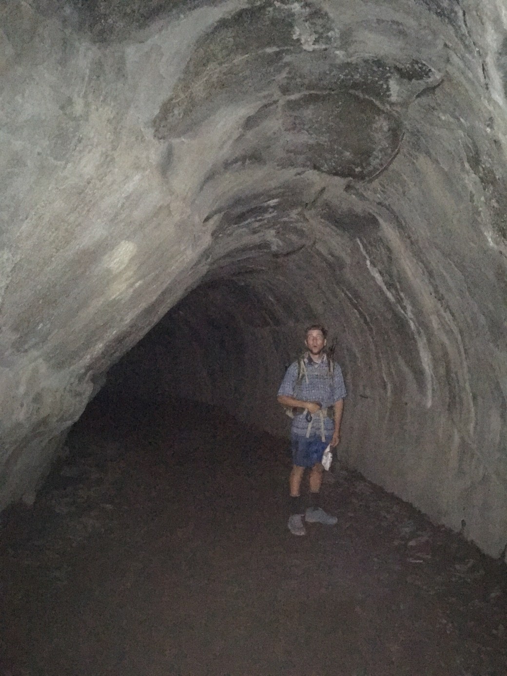
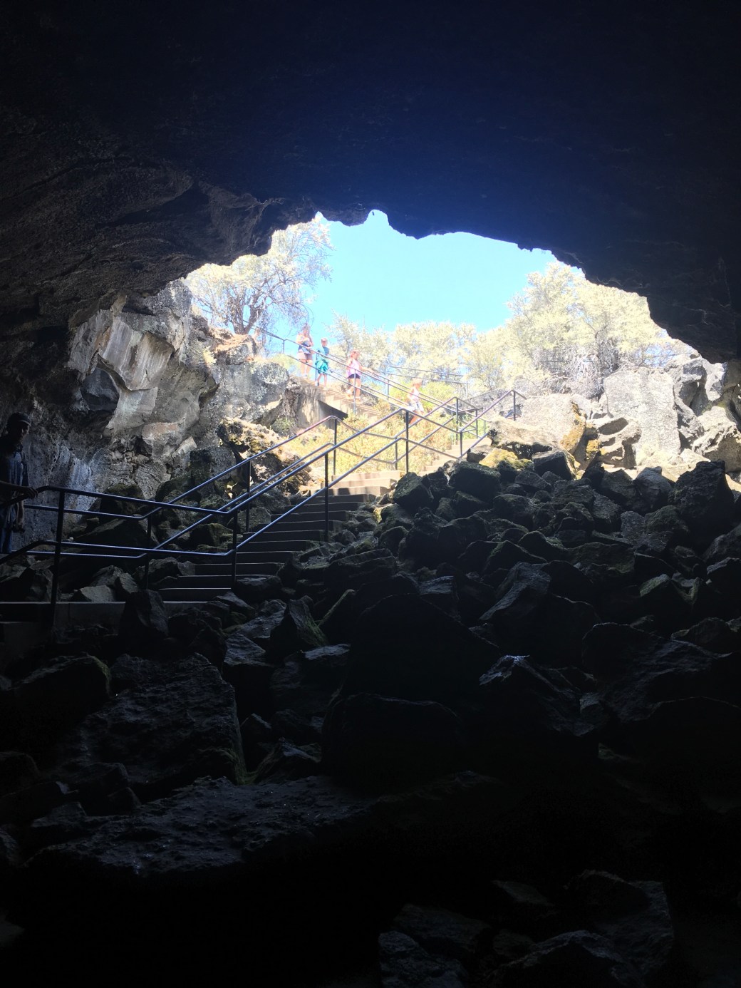
The remainder of our hike into Burney was hot and pretty flat. We explored Subway Cave (a lava tube) and hiked along Hat Creek Rim. This rim is notorious in Northern California for it’s exposure, heat, and lack of water. We could also see Mt. Shasta looming in the distance.
We also encountered two trail angels in about twenty-four hours. Fancy Pants was up on the rim serving dinner and treats to hikers, while Goldstone was at a water cache, Cache 22, with cookies and fruit.


We originally planned to stay one night at the Word of Life church, but I felt so tired from the heat that we decided to stay a second night. We had the opportunity to hear a fellow hiker play the church piano, a much needed moment of calm.
The next day we hiked to Burney Falls State Park. The falls are absolutely beautiful. Charles said the waterfall must be magical and I couldn’t agree more. I also ran into a girl I met in my wilderness first aid class back in March. I had been wondering where she was on the trail and she just happened to walk by where I was sitting.

Our next few days through Shasta-Trinity National Forest were filled with smoke, bugs, and poison oak. There are several fires in Northern California that have filled Shasta County with smoke. Supposedly the view of Mt. Shasta approaching the I-5 is absolutely beautiful, but we wouldn’t know because the mountain has been cloaked for the past few days. I did get one cool view of the top of Mt. Shasta looming through the smoke.
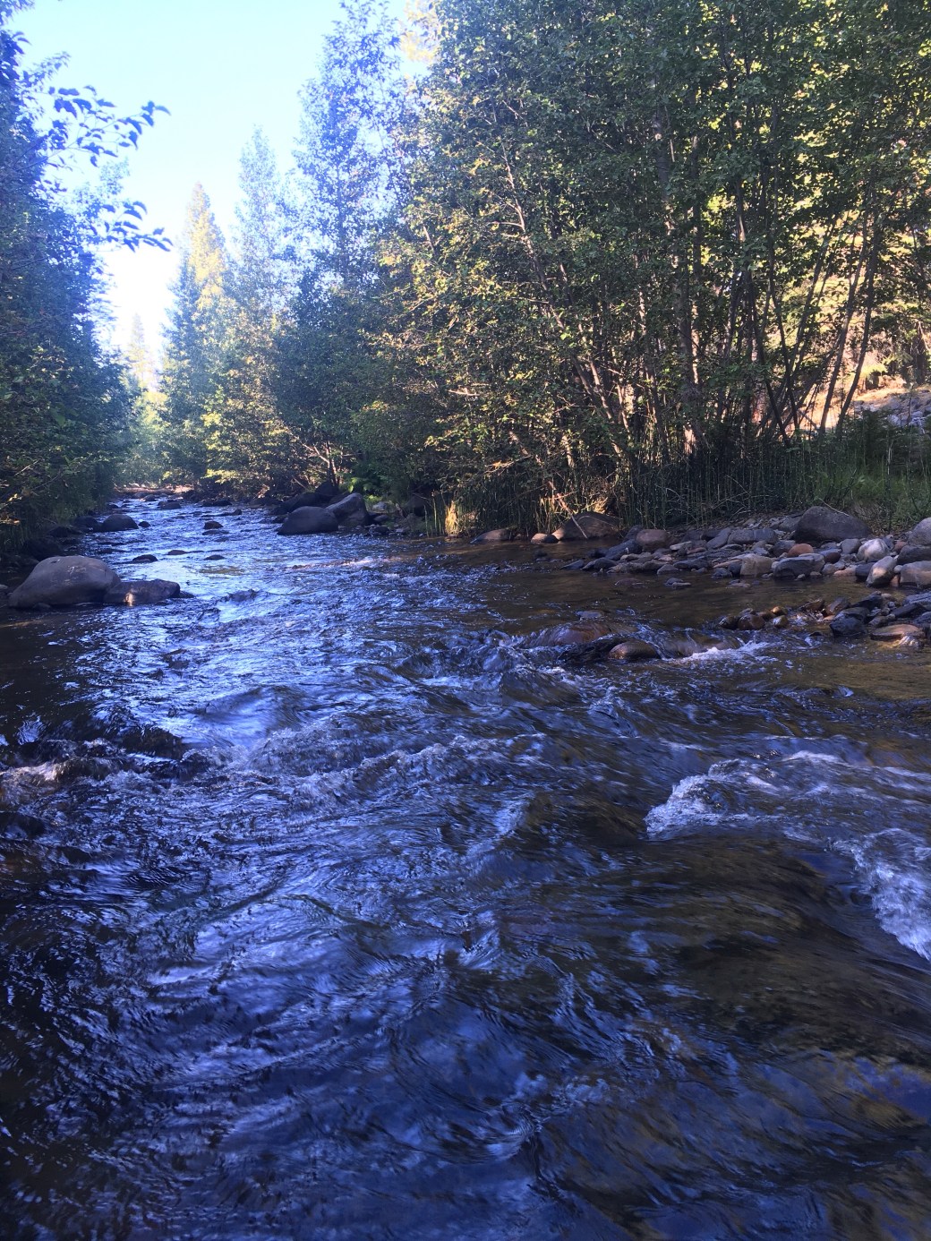
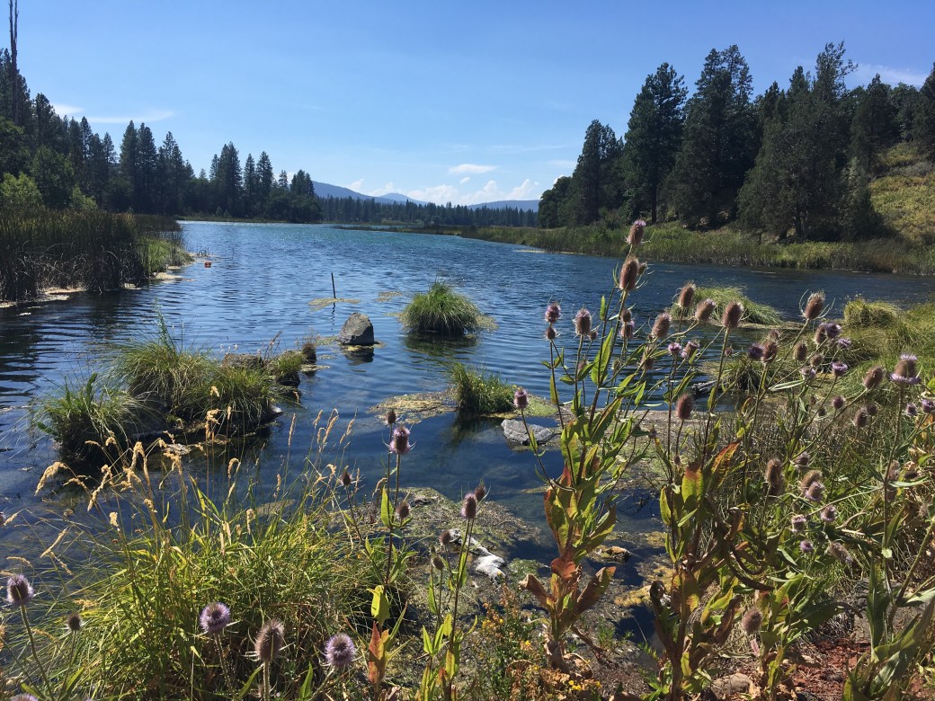
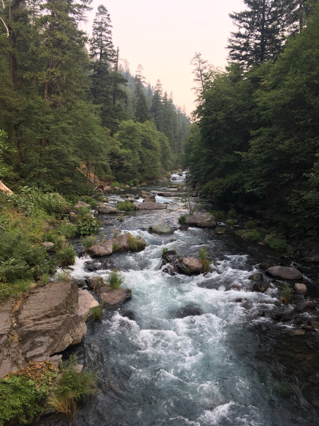
Mosquitos were originally our big pest, but now bees and yellow jackets have joined the mix. They enjoy investigating packs, shirts, tents, faces, stuff sacks, shoes, and pretty much anything else you might carry. Despite the bugs, we had some beautiful water sources, including McCloud River.
We’re staying one night in the town of Mt. Shasta to resupply before heading off to Etna. Now in town we finally got to see Mt. Shasta up close!


This section of the trail we also started talking about working on existing in the present. I would be lying if I said I didn’t dream about reaching Canada from day one. As we progress on the trail it has been getting harder for me to not think about Canada even more. As much as I want to be in Canada, I know I won’t enjoy reaching the northern terminus if I spent my entire hike wishing I was else where (there’d be no point in doing the hike). And I’ve definitely done that for parts of the trip. At the end of the desert I wanted to be in the Sierra, at the end of the Sierra I wanted to be in Northern California, and now I want to be in Oregon. And I feel that everyone has been there, but now it is important as ever to focus on enjoying each individual day. Some days are better than others. Existing in the present is much easier when hiking on ridge tops versus constant inspection from insects and scrubbing one’s legs of any traces of poison oak (I’m really impressed that Charles and I have not accidentally touched any poison oak yet).
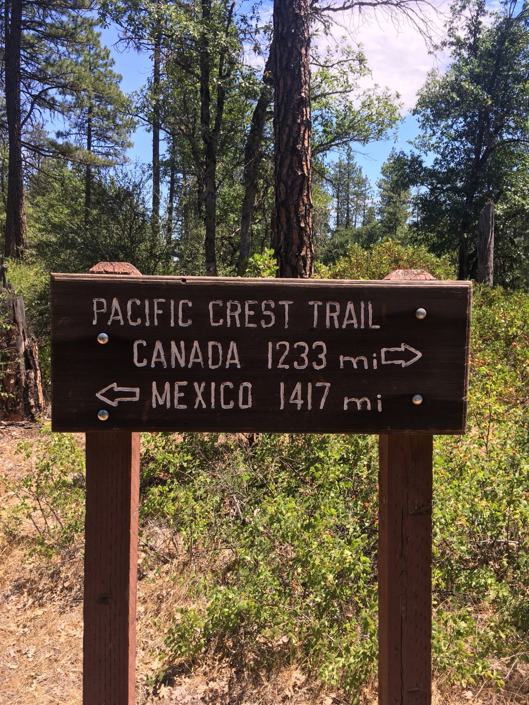
It’s also been difficult to not feel like we haven’t been moving fast enough. We’re actually hiking faster than ever, but in the beginning it felt like we were making so much more progress. At Kennedy Meadows (700 miles) our progress felt fantastic (and why shouldn’t it? 700 miles is a lot). Finishing the Sierra (another 400 miles) surely we were almost there. Now having passed the half way point (300+ miles after the Sierra) and still hiking in California, Canada suddenly seems much farther away then it originally did.
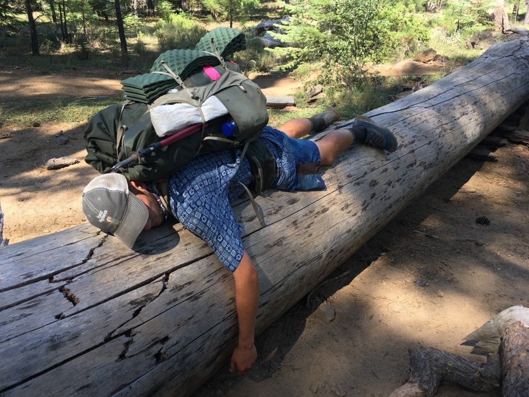
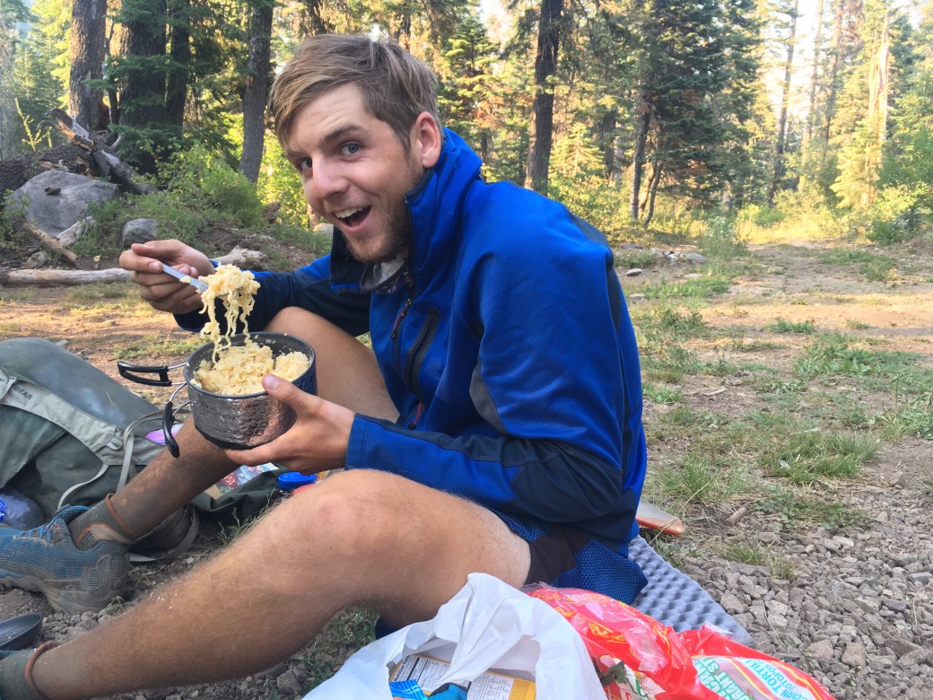
This is where the trail becomes mentally very challenging (even more so than it may already have been) and a lot of people on the trail start to drop out. We’ve heard stories of hikers who ended their hikes (for whatever reason) and daily traffic is noticeably thinner. The Sierra challenged us physically, but the rest of the trail will be a whole new hike. We know we’re capable of hiking the miles, we’ve already done it. The real question is can we do it again. I’m pretty confident that we can and it’s time to make it happen. And the person from this picture below thinks we can, so that’s all I really need.

On a much lighter note, we’re only 190 miles from the Oregon border! While it may not be time to dream of Canada, I can at least casually start thinking about reaching Oregon.


I’m glad to see that Charles has a new shirt! Keep going! We think of you every day!
LikeLiked by 1 person
It was definitely a sad moment to see the old one go
LikeLike
First time comment, long time reader.
Such beautiful photos, as always. “Being present” — great advice! I have driven from AZ to OR a couple of times, and CA does seem endless. You are making incredible progress, both on the trail and elsewhere it seems. Keep it up!
LikeLiked by 1 person
You guys are awesome, and I am jealous in a way. You CAN DO THIS!! We got Charles’s post card and really appreciate it. We are looking forward to all the rest of this hike vicariously completed through you!!! Thanks for all the pictures!
LikeLiked by 1 person
I’m glad his postcard arrived and I’m glad you’re enjoying the blog! And thanks for the support, it is much needed:)
LikeLike