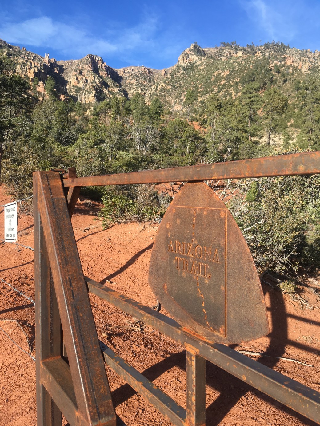
As of November 20 I am 362 miles on the AZT. I was hoping to at 440 miles and over half way by the time I wrote this post, but a three day storm that hit most of the state forced me off the trail. I’m currently home in Phoenix re-evaluating my options and what would make me happiest to proceed, but I’ll cover that at the end. For now I have an update on my hike from Flagstaff to the Mazatzal Wilderness.
A friend in Flagstaff dropped me off just south of Butler Ave on November 8. He and my other two friends that he lives with were kind enough to let me stay at their house for the night while I did my resupply the day before.
I had about four miles on the town route of the AZT before rejoining the official trail. The town route is more suitable for hikers, as it goes by downtown Flagstaff and all the accommodations, coffee shops, restaurants, gear stores, and bars a thru-hiker could want. Unfortunately, horses probably shouldn’t be crossing Butler Ave, so equestrians take the official AZT on a bigger loop that goes through the outskirts of Flagstaff.
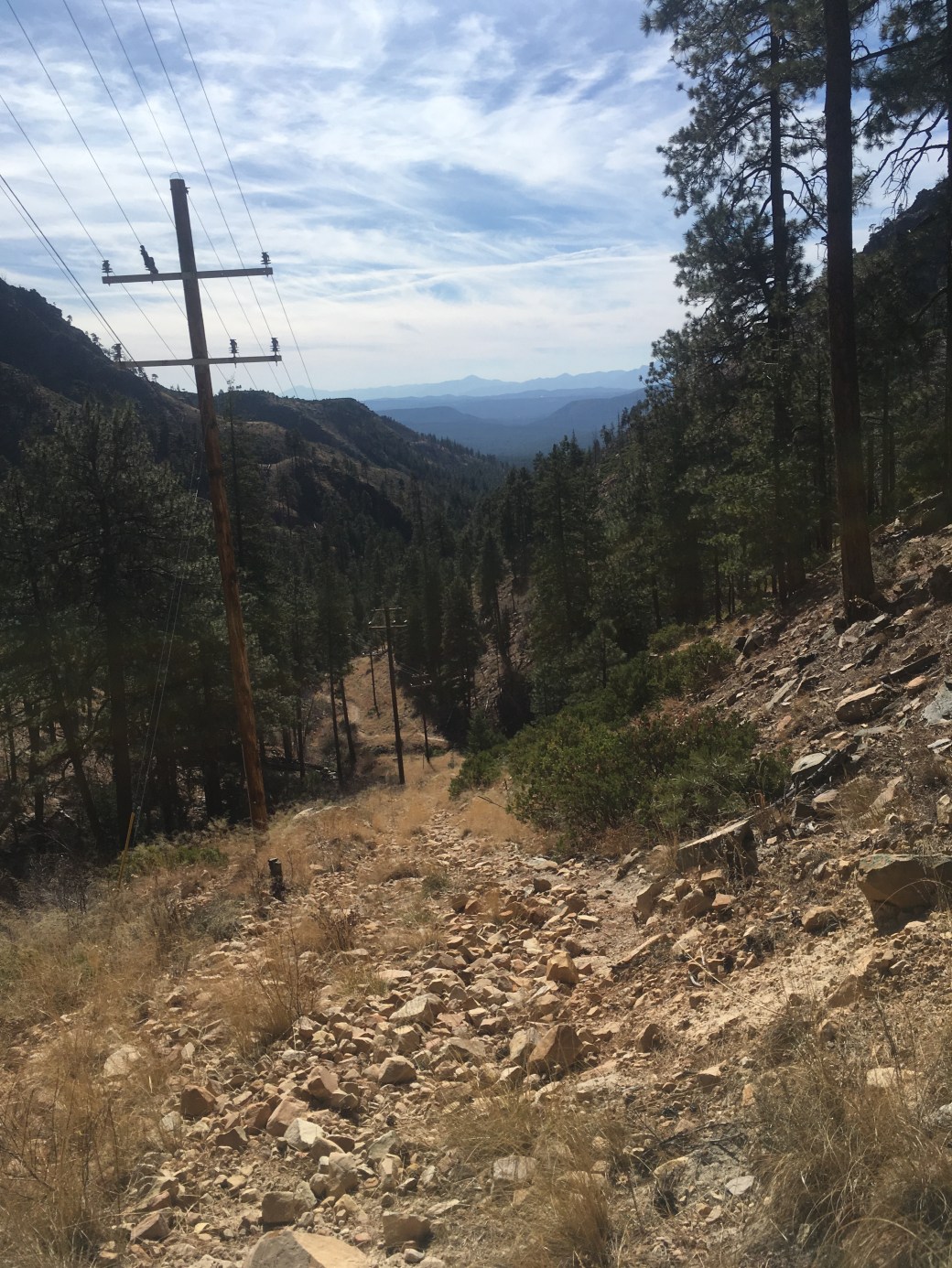
With the trail still pretty flat, I was able to maintain about a twenty-five mile average for four days and an eight mile morning to make in to Pine in just over four days. This section also started my two day walk to work, the Mogollon Rim Ranger District of the Coconino National Forest.
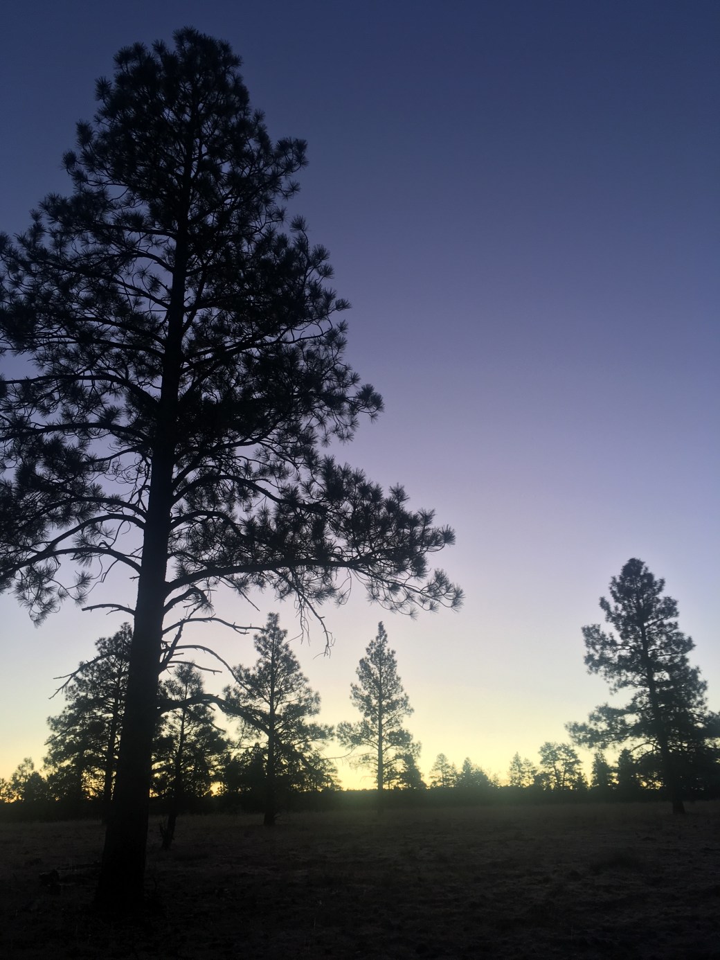

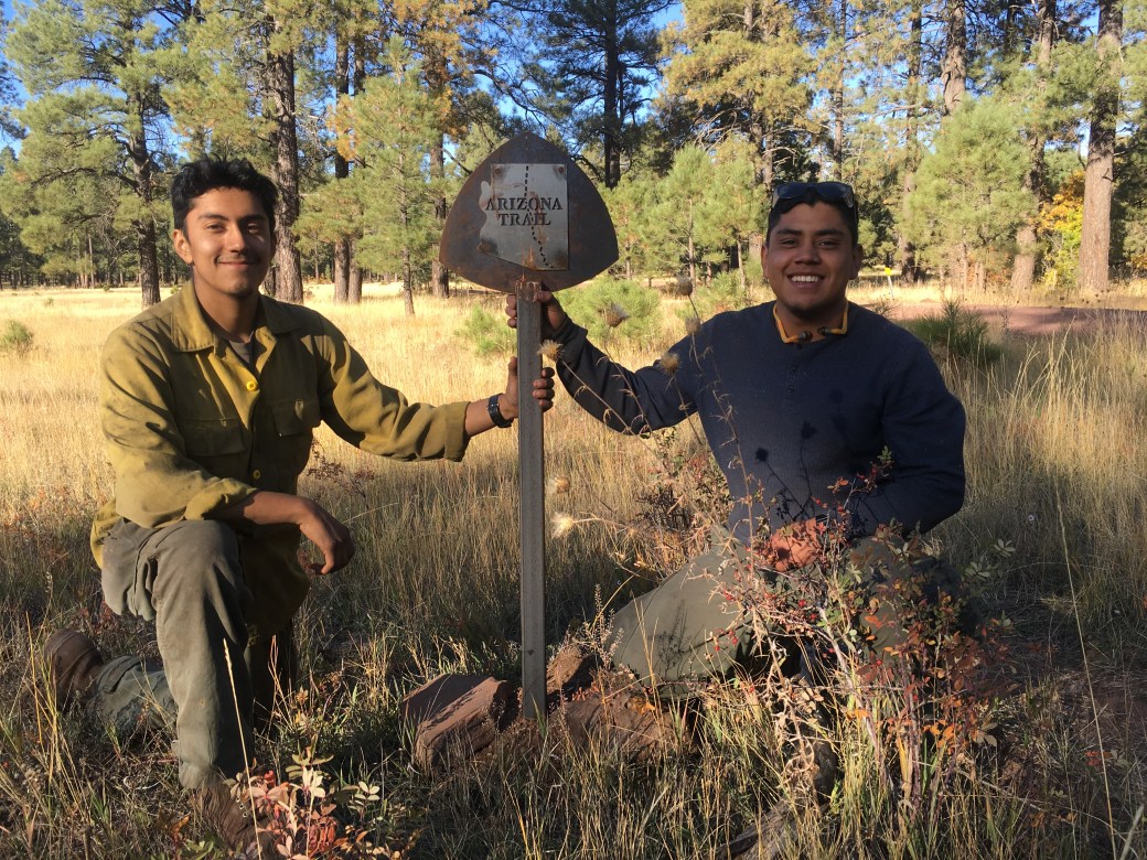
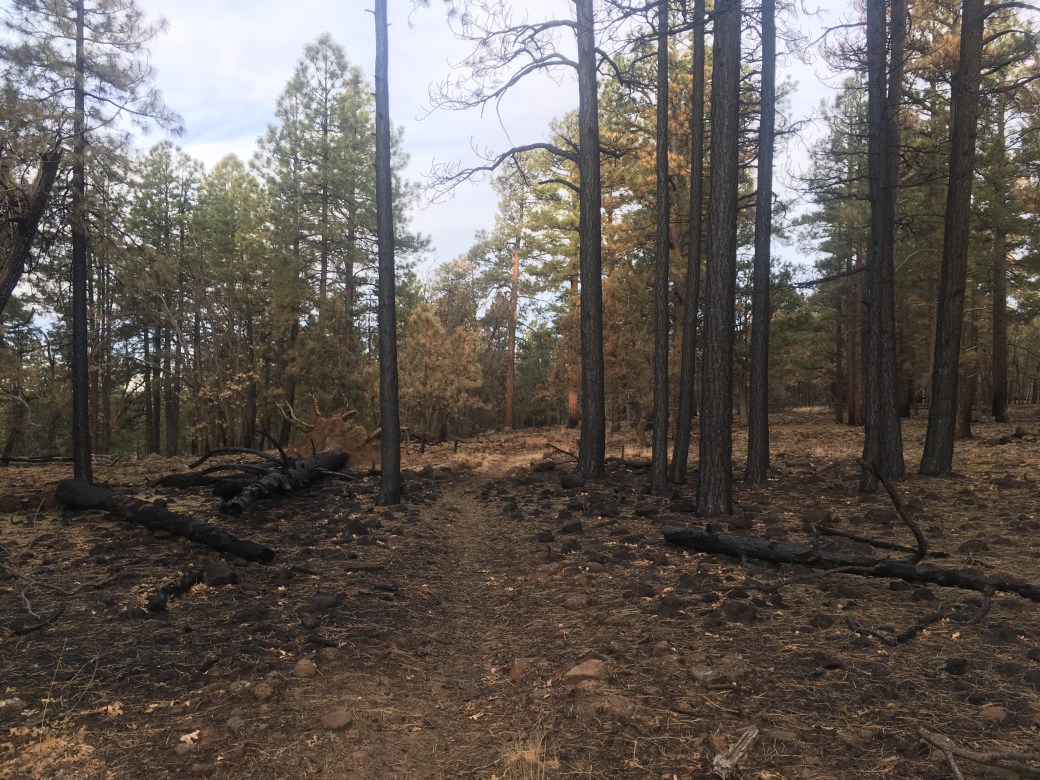
Once on the district, I walked through a wildfire I worked on, the Bull Fire, and a large prescribed fire, the C.C. Cragin, that we spent most of the fall completing. In the Bull Fire I came across a water cache of about twenty-five personal water bottles (ones that we keep in our coolers at work) and two beers. I have a slight suspicion that someone from work was out checking the burn and just dumped their cooler out for thru-hikers. Also, because I saw almost no one for three days, I’ve included a picture of two of my co-workers, Leo and Frank, posing with an AZT sign from one day at work back in October.


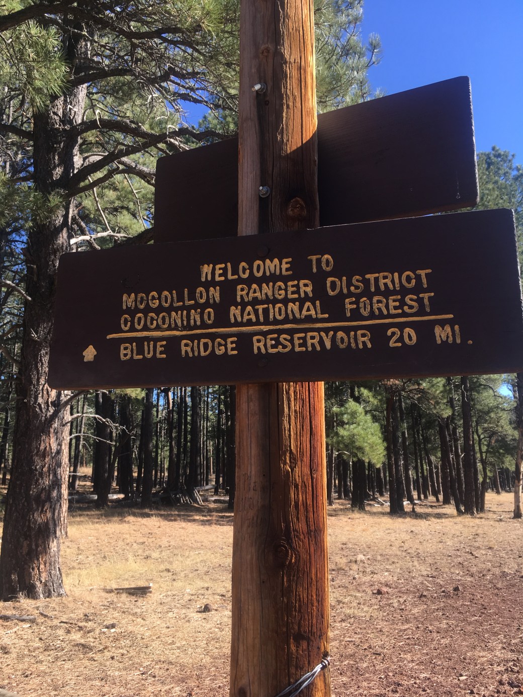
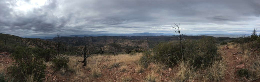
Once past the Happy Jack station, the trail continues on to cross AZ-89, near Blue Ridge Reservoir. I camped just outside the prescribed burn and then continued to the edge of the Mogollon Rim. Approaching the rim, the AZT joins the Cabin Loop trail, a trail I’d backpacked with my dad and brother several years ago. I also ran into three guys and their two dogs who were unfortunate enough to listen to be babble at them for ten minutes because I was so excited to see some people.


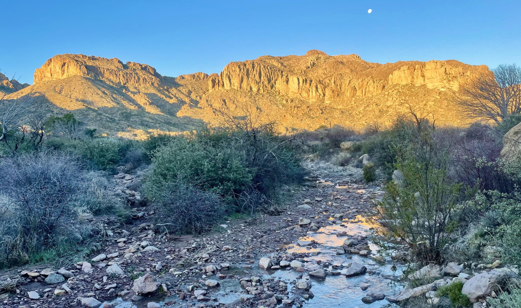
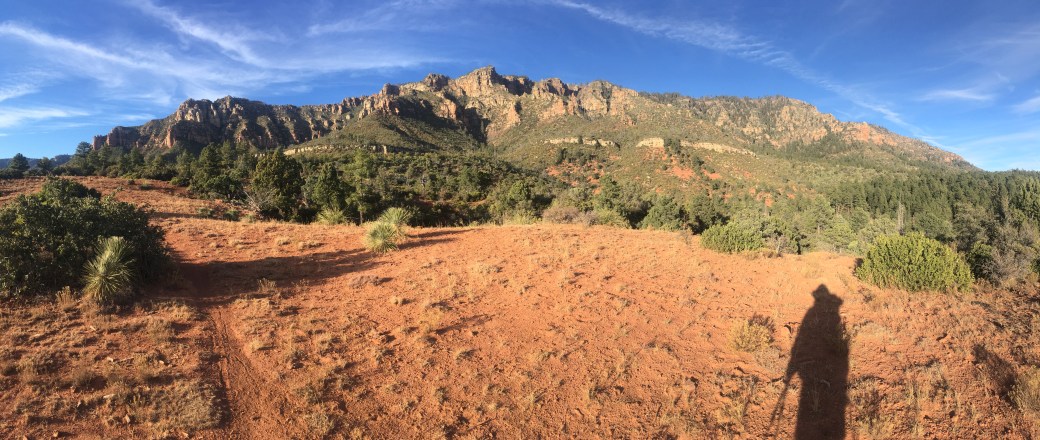
A steep drop off the Mogollon Rim transitions hikers from the Coconino to the Tonto National Forest. I hiked this small section as a day hike with some co-workers to Washington Park. From there I had ten miles to Webber Creek, where I camped for the night. The next day I had just eight miles to Pine, where I spent a zero day and two half days with my boyfriend. The transition to the Tonto starts to bring the more classic, Arizona desert landscapes.
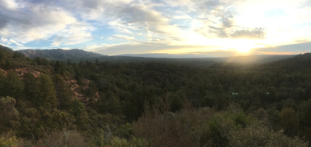
After my time off in Pine, I started out with the intentions of hiking a little over seventy miles in about three and a half days to where the AZT crosses the AZ-89, thirty miles south of Payson. Friends of mine, who live in Payson, planned to pick me up for my resupply before I continued on my way. I checked the weather forecast and saw three days of rain predicted for Tuesday, Wednesday, and Thursday. Not knowing how much rain was coming and having backpacked in the rain before (we dealt with rain in Washington on the PCT) I figured I would be fine.
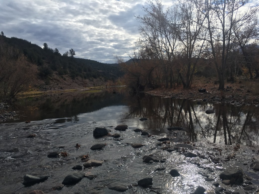
I started out Monday afternoon and had a pretty uneventful day and a half. I entered the Mazatzal Wilderness and crossed the East Verde River. In the afternoon of that second day storm clouds started to build and I was getting rain drops around 2:00PM. My parents sent me a text message saying the storm just hit Phoenix and was headed fast toward Payson, so I decided to stop early for the night at about twenty miles for the day.

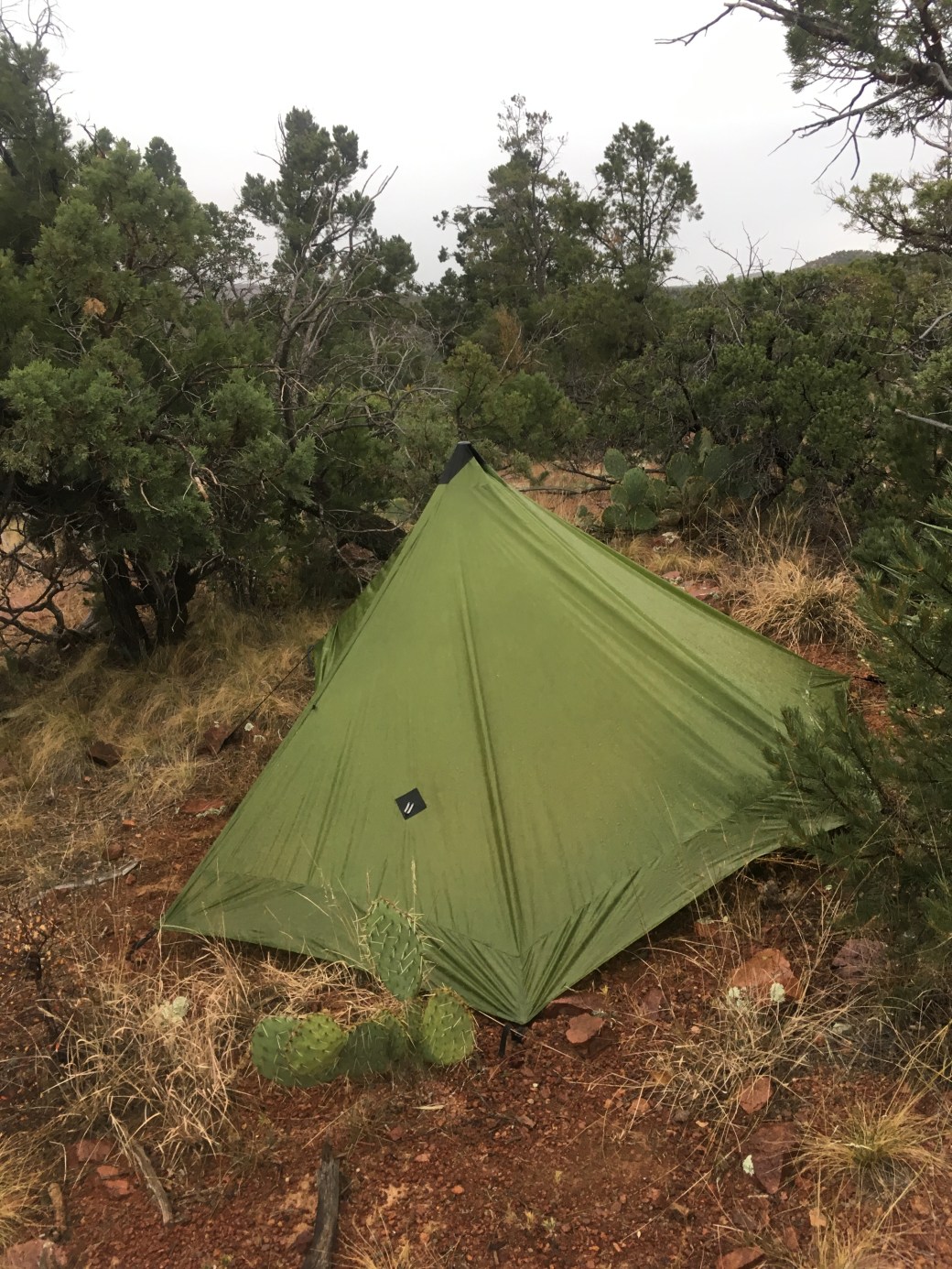
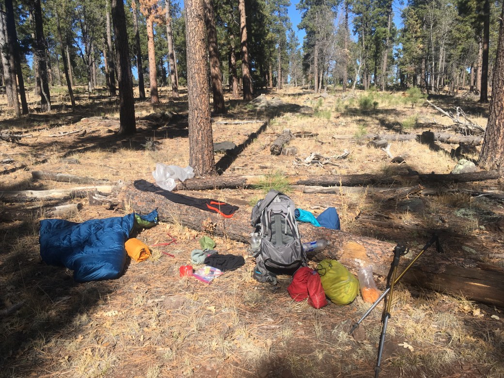
My campsite was up out of flooding potential, but due to the scrubby landscape didn’t have the best wind protection. I was in camp around 3:00PM with a decent amount of rain. I was able to sleep alright until about midnight when the wind began to howl and the rain poured. Around 3:00AM, the wind ripped two of my tent stakes out, causing my tent to start to fall over, so I rushed out into the pouring rain to fix the tent.
Once back inside the tent, I noticed the whole floor was flooded. Most of my gear and clothes were soaked, though luckily not my quilt (it was still wet though). I mopped over six cups of water out of my tent with my bandana. Because the weather was so bad and I didn’t want to go outside again, I peed in my pot twice (I’m reaching all new kinds of hiker trash levels on this trip).
At this point I decided it was time for me to bail. I still had forty miles to AZ-89, another two days of hiking with two days of the storm. My last campsite would be another exposed night due to limited camping options. I also had no guarantee of a chance to dry out my gear, time I deemed extremely important to having a safe, second night in a storm and increasingly colder weather.
At the East Verde River crossing I walked by a small ranch, LF Ranch, that I noticed had multiple vehicles. Despite being in a wilderness area, I knew those vehicles had to be leaving on some sort of road. I checked my map and saw a road that led out of the wilderness and eventually into Payson. Luckily, I had phone service at my camp and found the road led to Doll Baby trail head and was only a four mile hike from the ranch and a nine mile drive from Payson. At about 6:30AM, I called my Dad and asked him to come retrieve me from the trail.
I had an eleven mile hike back toward the river and the ranch and then a four mile hike to the trail head. By the time I reached the road I was completely soaked and overall just felt rattled. Through my In-Reach Mini (I lost cell service by this point) my dad told me he couldn’t reach the trail head due to the washes being too dangerous to cross in Payson. My last option was to see if anyone was home at the ranch.
Luckily, Maryann, the owner of LF Ranch, was home and she let me dry off and stay in her bunk house for two nights to wait out the rain and the flooding. She has hosted AZT hikers in the past and still picks up packages for hikers in Payson to be received at the ranch.
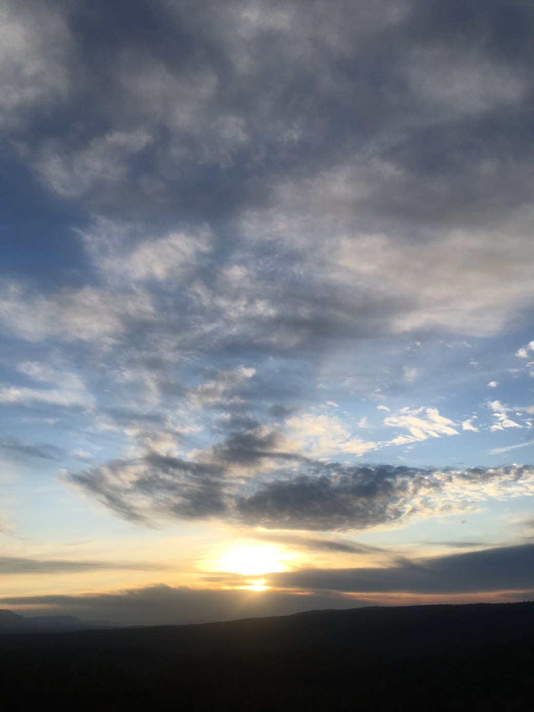
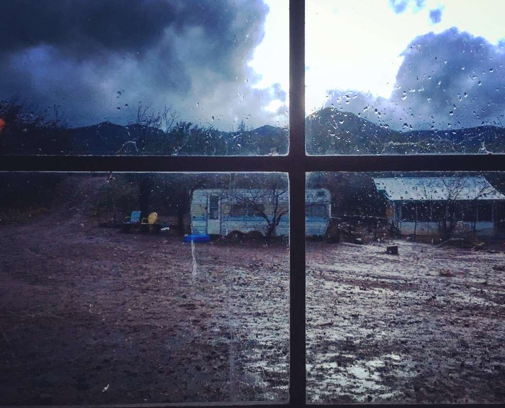
My first night at the ranch the storm was even worse, with more lightning (there wasn’t that much the night before), pouring rain, and more howling wind. I took a picture from my bunk house and felt very lucky to not sleep in the mountains that night.
The ranch and Maryann are wonderfully unique characters. She has been working on this ranch for over forty years and currently lives there by herself with all her animals. While I didn’t get a good picture of the ranch, she has horses, dogs, chickens, peacocks, and one baby cow that roam free and cause mischief. The cow was so afraid of the storm the first night that it broke into the bathroom adjacent to the bunk house and then got stuck in there the next morning! It made quite a mess, tracking in a bunch of mud. The dogs chase the peacocks, the horses arrived home to see if Maryann received a new supply of hay, and the chickens want to be involved in everything.
 It rained less on Thursday, but the washes were still high, so my dad tried driving to the trail head again Friday afternoon. The route was clear, so I quickly hiked out the four miles and am now home in Phoenix creating a new strategy for my AZT hike.
Before the rain, I planned to hike to Lake Roosevelt, mile 440, and then go home to my parents in Phoenix for Thanksgiving and to look into caching water along the southern part of the trail. I had essentially two more nights the trail, one town night, and a trailhead night to be ready for a Sunday morning pickup.
I also needed a break and time to re-evaluate how I want to go about the trail. I love backpacking and everything about the outdoors, but until I started the AZT I never realized how important camaraderie is for me on the trail (and apparently with life in general, as firefighting is a very team oriented job). While I often got quite annoyed with large groups on the PCT, I highly valued a strong relationship with one hiking partner and closer relationships with smaller groups or individuals going about the same pace. It is fun to share the experiences and a sense purpose among other hikers.
I also have a difficult time relaxing by myself. Due to shortened day light hours for hiking, I’ve essentially been hiking non stop, pausing only to filter water and shove food in my face during the process. I became a little obsessed with completing my daily mileage and completing it before the sun went down. I also found myself deciding to just walk constantly to try and reach higher miles. The one time I took an actual solid lunch break, I spent the rest of the afternoon rushing to hike my remaining miles to be in camp before 5:00PM. It seems silly, but I cannot relax when the sun goes down; my mind and heart races until I’m in my tent and even then it can take awhile to calm down. Despite this though, I’ve definitely noticed improvements from my solo hiking time on the PCT.
While leaving town is always challenging, usually once back for a day I’m remembering why I love backpacking so much. On the AZT I’ve been dreading heading back to the trail. I was in tears at the end of my zero day in Pine and so upset that my boyfriend was about to go buy backpacking gear and leave with me the next day so I wouldn’t have to keep hiking by myself (he’s also never backpacked in his life). I started viewing the trail as something to check off a list versus actually enjoying the experience.
While solo hiking is something I would like to continue to work on being comfortable with, I’m not particularly eager to continue working on it for the remainder of the AZT hike. I would like to enjoy the walk through my home state and I think the best way to accomplish that is with hiking partners. Luckily I have several people originally interested in hiking after the Thanksgiving Holiday. My Dad will start with me, hopefully followed by a couple friends (we’re still working out their availability), Charles (my PCT hiking partner), and even my brother.
The AZT has also been teaching me about success. I originally thought for a successful thru-hike I would complete it all in one shot and in the original planned forty days. Now with taking a week off and wanting to have some time to enjoy the holidays with my family, I’m going to have a little less that 120 miles to finish in the spring. I will need to finish about sixty miles to the border and fifty-five miles in the Mazatzal Wilderness (I’m going to end up hiking the Red Hills section three times. Hooray for bonus points!) in March or April. I should be able to complete those two sections in two long weekends
I kept telling my Dad, “Well next time I’ll do it right.” I planned to give myself two months and find a hiking partner available for the whole trip. My Dad reminded me that I’m doing it right the first time. Just because I had to re-strategize my trip to complete the trail doesn’t mean I did it wrong the first time. I’m still eventually going to have the entire trail completed in a year. I hiked about 185 miles by myself and camped for seven nights completely on my own. If the storm hadn’t stopped me I would’ve made it 250 miles before joined by hiking partners again (and would’ve had even more nights camping on my own). It’s about time I start looking at all of this as a successful trip with learning opportunities, instead of a trial run to be done better next time.
I don’t know if I’ll have a lot of time to update between this post and the holidays, so my next post, I’ll most likely have most of the trail completed (we’ll see if I make it to my intended goal; there’s been a lot of snowing in the state recently). Until then, I’ve got a lot of cacti waiting for me just around the corner! And I can feel pretty confident that for once the trail’s water sources are looking pretty good after all this rain!


Brave young lady…wishing you the best when you resume…prayers surround you always…
LikeLiked by 1 person
You have earned that Hot Shot job for sure! Here’s what the end of the ArizonaTrail looks like. Valerie is on the Arizona side and I am in Mexico. We did the last leg a year ago in beautiful weather with fresh snow and sunshine. https://photos.app.goo.gl/UGHK1aseqRuNZ9BT8
LikeLike