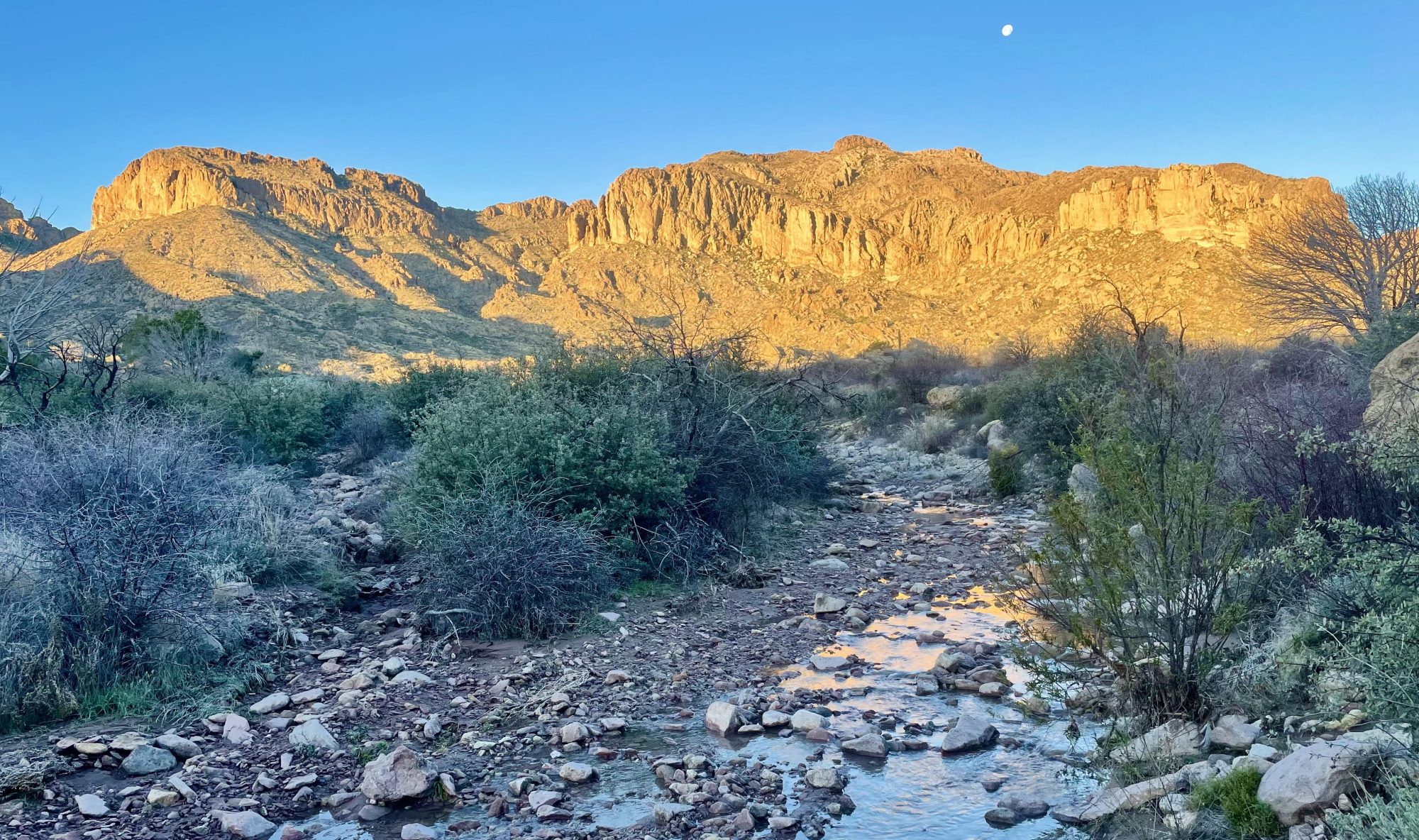
Leave it to mom to always find the next exciting adventure for me. Back in the spring, mom found out about a route, roughly 130 miles, connecting Santa Fe, NM to Taos, NM. She knows that I love New Mexico (she and dad do too) and I’m always looking for a week long adventure to fit in to my work schedule, so this seemed perfect.
The Santa Fe to Taos Route was created by a local New Mexican woman named Pam Neeley. She has spent countless hours finding the most scenic and as reasonable as possible routes through Santa Fe National Forest, Pecos Wilderness, and Carson National Forest. A wealth of knowledge about New Mexico’s trails, she wrote a guide book detailing each mile down to campsites, water sources, entrance/exit points, alternate routes, and trip itineraries. As an added bonus to help protect the land that she loves so much, Pam will send you the GPX track for free if you send her proof of completion of the Leave No Trace 101 course, available for free from the Leave No Trace website. It’s always great to brush up on one’s leave no trace skills!
Originally, I hoped to hike in June, but, as usual, fire season got in the way. Mom and dad were eager to be my trail crew, and offered to go with me to NM the end of September/ beginning of October. The timing ended up just about perfect since fall colors were in full swing. The only less ideal part of the timing was hurricane Polo making it’s way to the southwest.
I hoped to complete the route in seven days, but planned for eight days as a back up with all of the elevation gain throughout the trip (elevations are included for reference). I was keeping an eye on the weather a couple weeks out and at first all the chances of rain were reasonable for hiking. Anything under 60% chance of precipitation is reasonable to me; all I really need is about thirty minutes of no rain to dry my gear out. As the trip got closer though, two days’ precipitation levels kept climbing with rain and thunderstorms forecasted all day. With the route spending so much time above tree line and the storm arrival lining up with when I thought I’d hike over the Santa Barbara Divide (12,000ft), I decided to find an earlier exit point to wait out the storms and then head back out. I didn’t feel like getting struck by lighting or getting washed away in the rain… (NM ended up getting well over two inches of rain from that storm!)
You can start from either end on the route, but I started in Santa Fe at the plaza (7,000ft). My plan was to backpack for about two and half days and about 36 miles to exit at the Panchuela Trailhead. I’d hang out with my parents in Santa Fe and then head right back out once the storms passed.
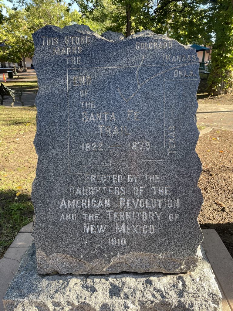
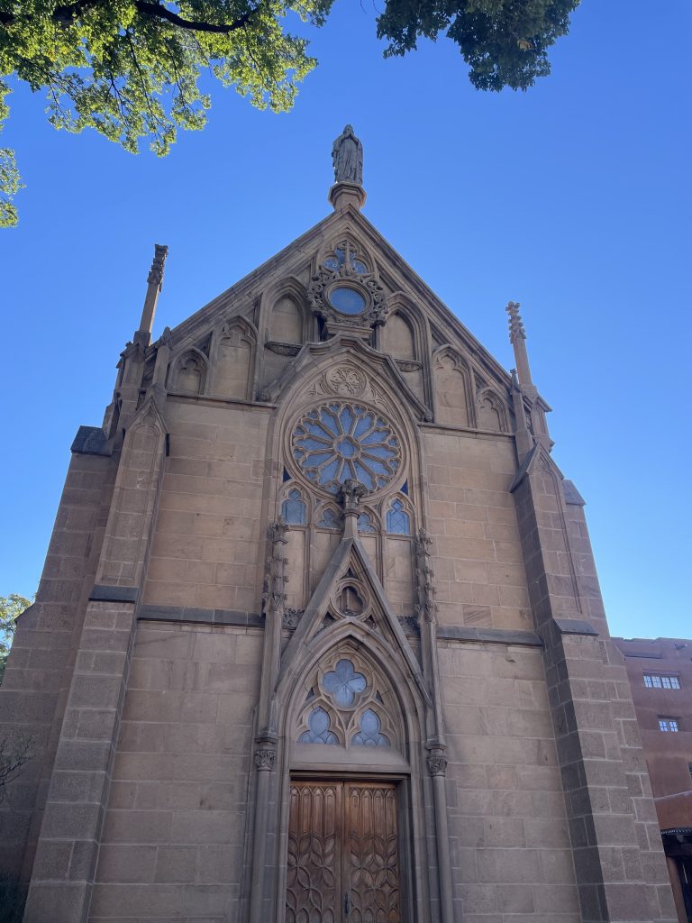
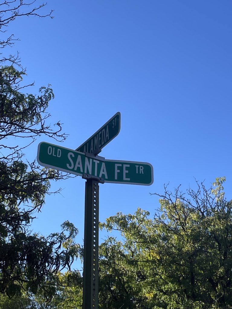
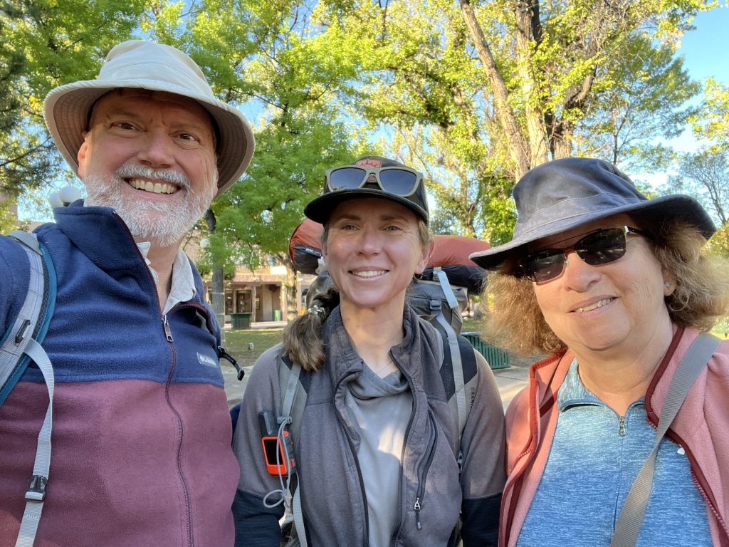
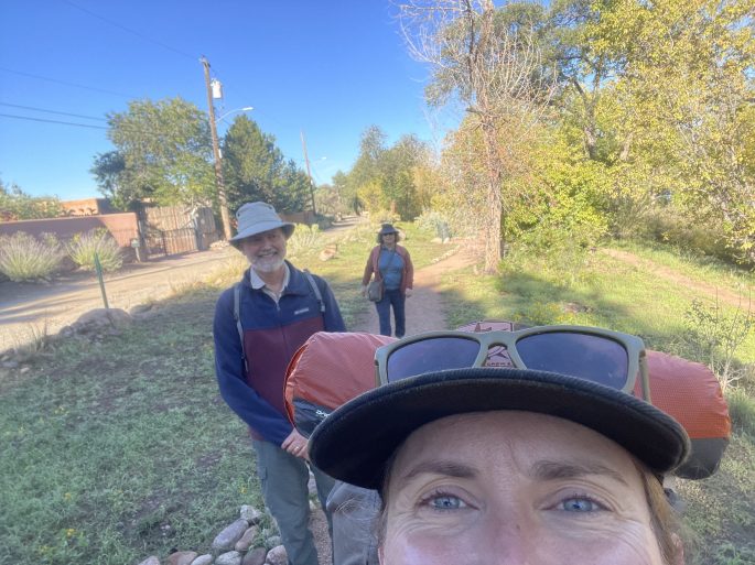
The first part of the route is walking out of Santa Fe. Mom and dad walked the first mile with me, complete with a creek crossing! Once we reached Patrick Smith Park, I was officially on my own. The route uses many urban trails to take hikers north out of Santa Fe.
Starting on a Saturday, many people were out enjoying the day. I saw many hikers, mountain bikers, and pups out as I started climbing up toward Aspen Basin. Once off the urban trails, I spent most of my day hiking on the Winsor Trail. I crossed many creeks as I watched the scenery change from juniper, to pine, and eventually to mixed conifers. The biggest note from my first day was realizing my water filter no longer worked and feeling extremely grateful I always carry a chemical treatment option as well.
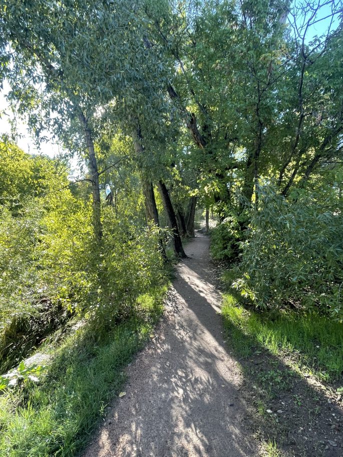
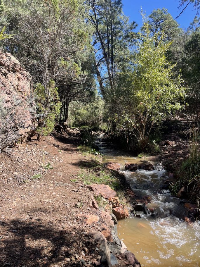
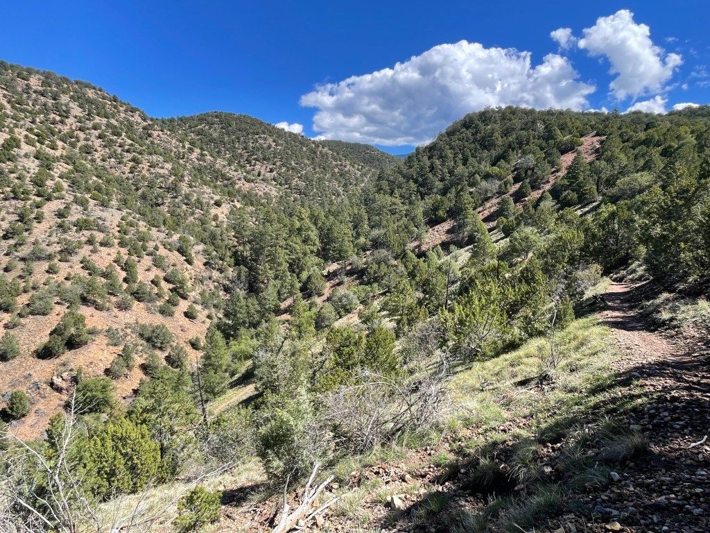
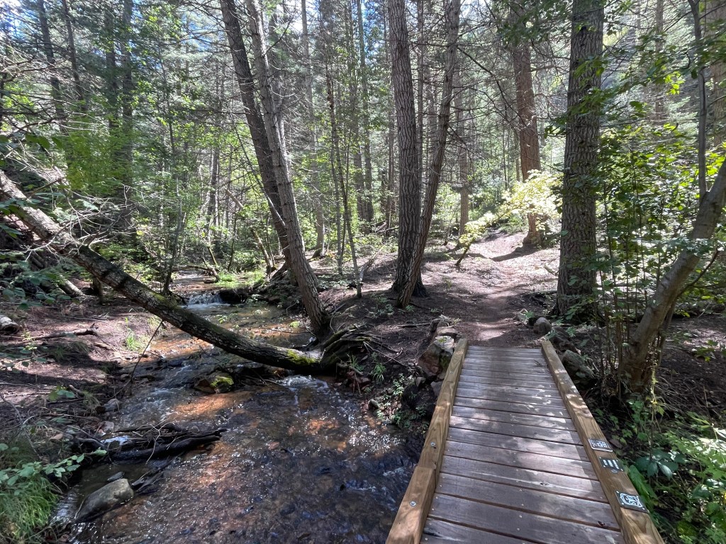
Almost twenty miles later, I finally made it to Aspen Basin (10,250ft). While there’s a paid campground option, I found an out of the way picnic table and fire ring to camp near.
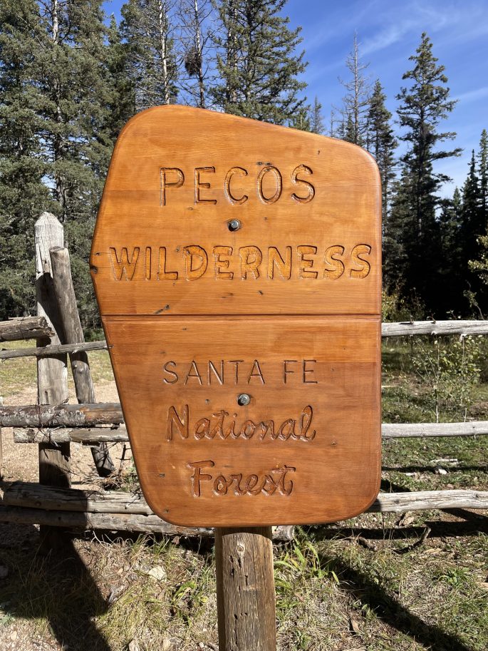
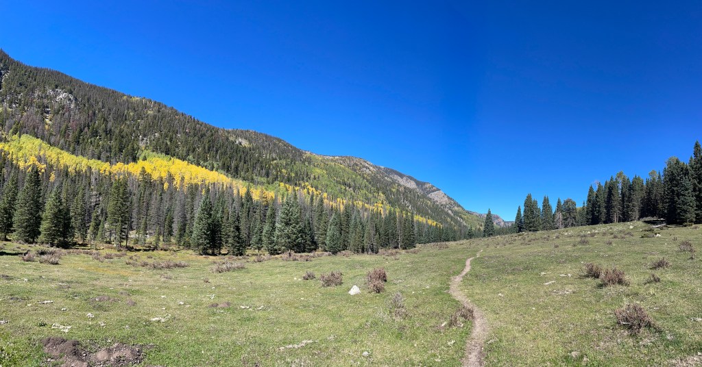
My second day took me into Pecos Wilderness and it was absolutely stunning. I think the Pecos Wilderness is the highlight of the route and luckily hikers get to travel over forty miles through the area!
The day started off with even more climbing, but it was worth it for all the fall colors, views, and high alpine lakes. Many people were out on the trail, heading up to (or down from) Mount Baldy Santa Fe or Lake Katherine. Before reaching either, the trail comes to a saddle to continue up to the mountain summit or on to the lake. The lake actually sits higher than the saddle, right below the mountain. I didn’t see them, but I heard pikas hiding in the rocks near Lake Katherine. I stopped for lunch and to enjoy the lake.
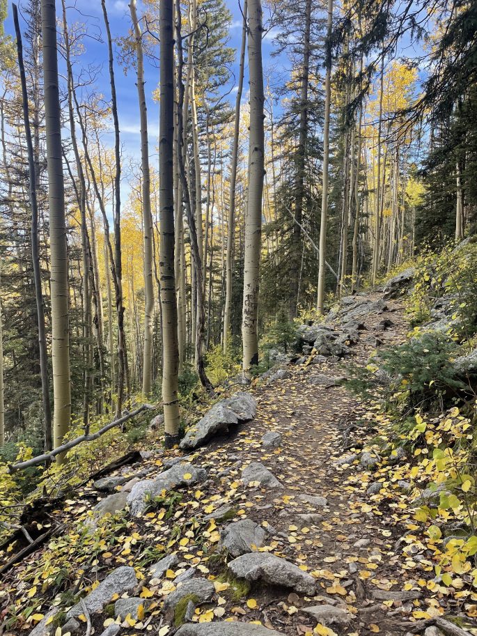
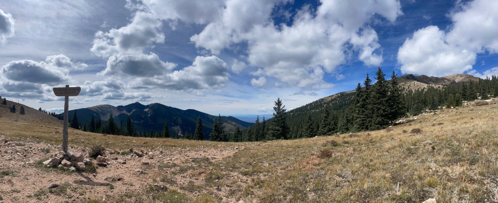
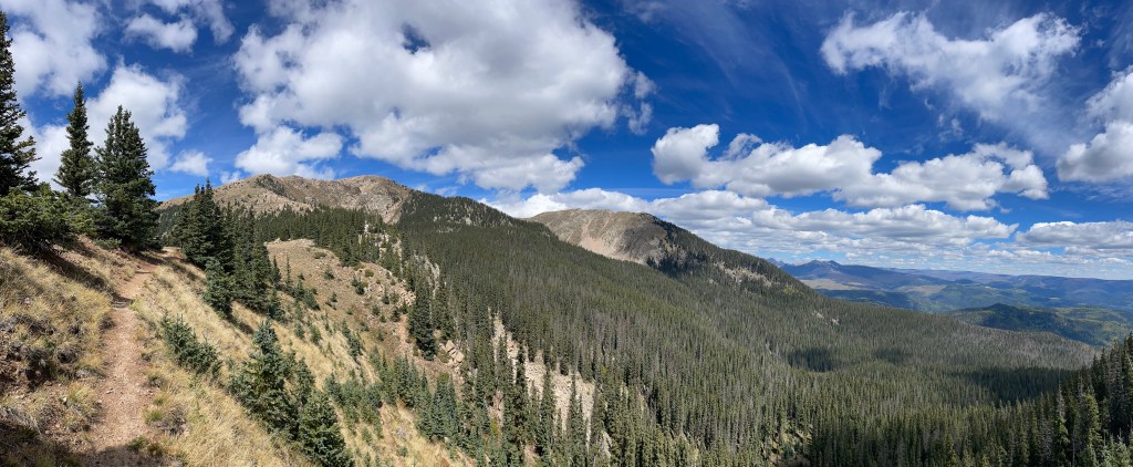
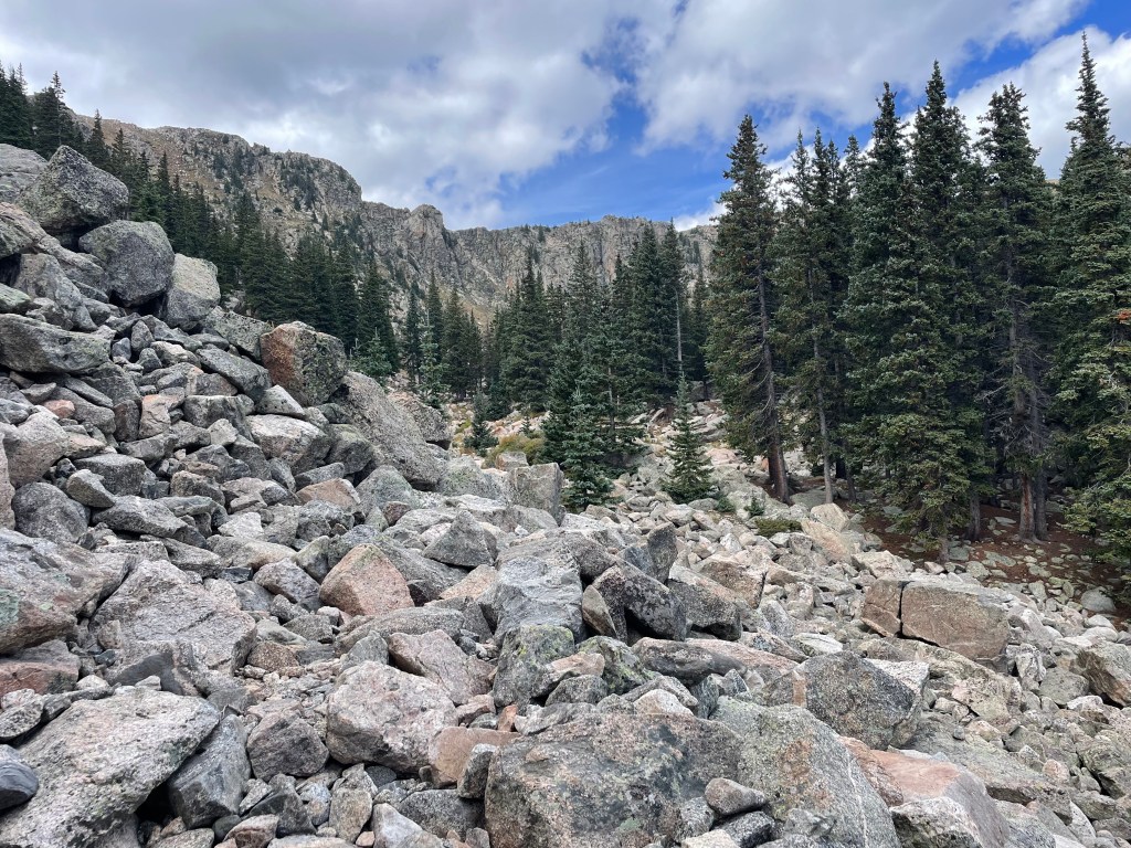
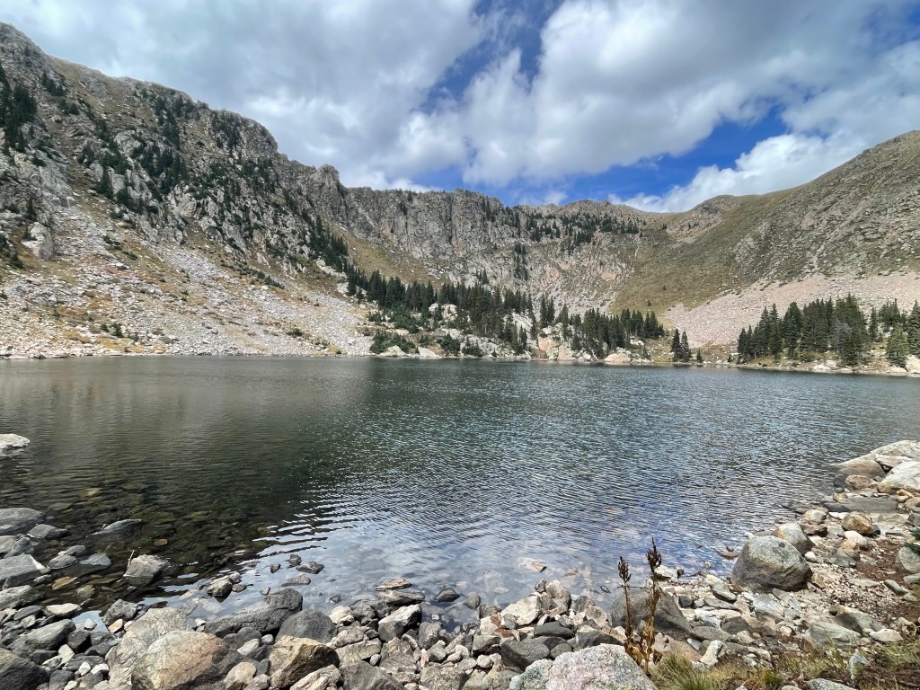
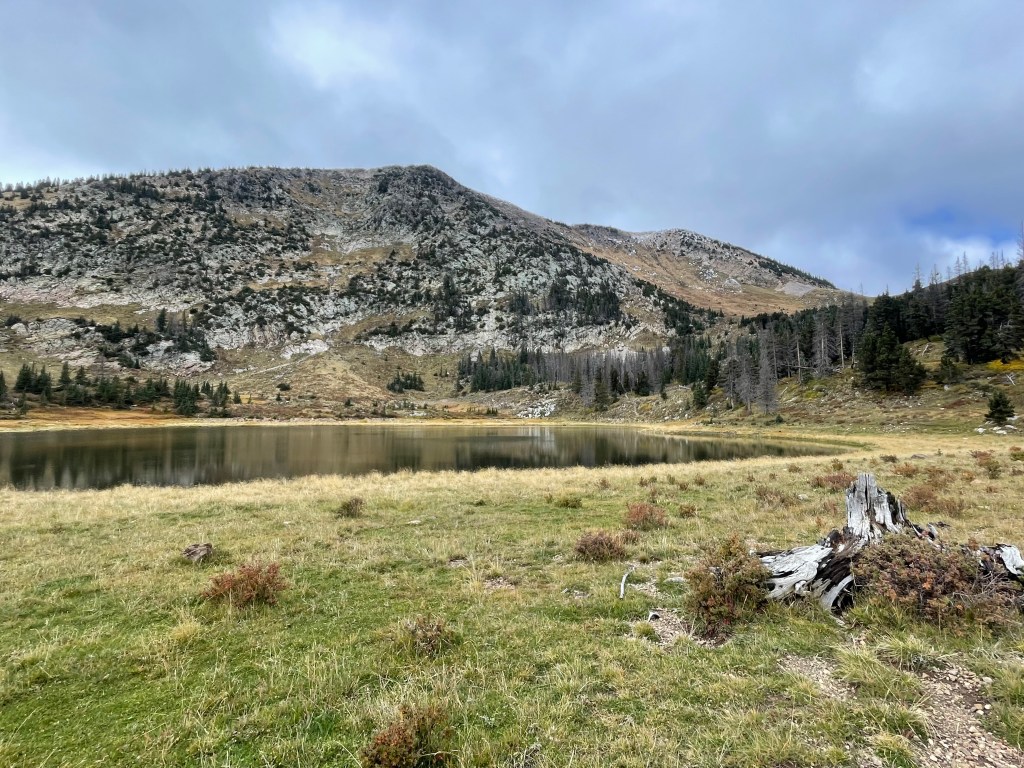
Leaving the lake, the trail begins to descend quickly. A few miles down the trail, hikers pass Stewart Lake. If I didn’t need to hike a couple more miles I would’ve loved to camp at this lake. The fall colors and mountains reflected off the lake and I could’ve stared at them for hours. It’s probably my favorite lake from the whole trip.
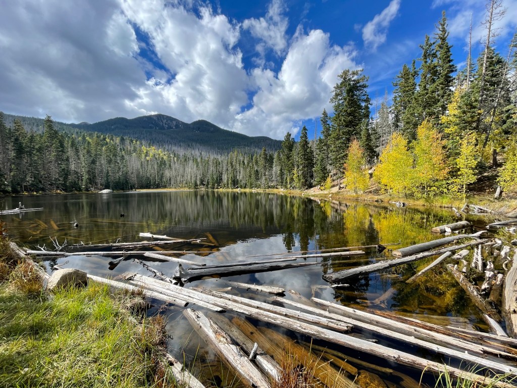
Less than a mile later is Stewart Lake’s counterpart, Stewart Pond. While not the most scenic body of water in the world it was still very full from the previous storm. In Arizona this pond would be consider a full blown lake.
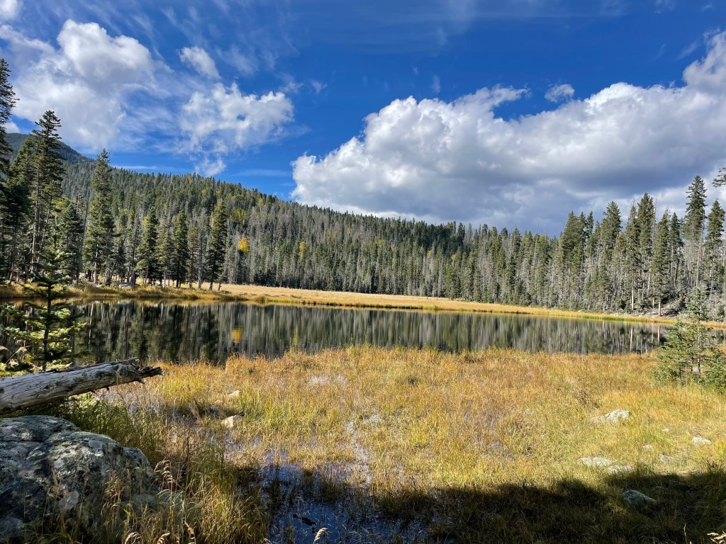
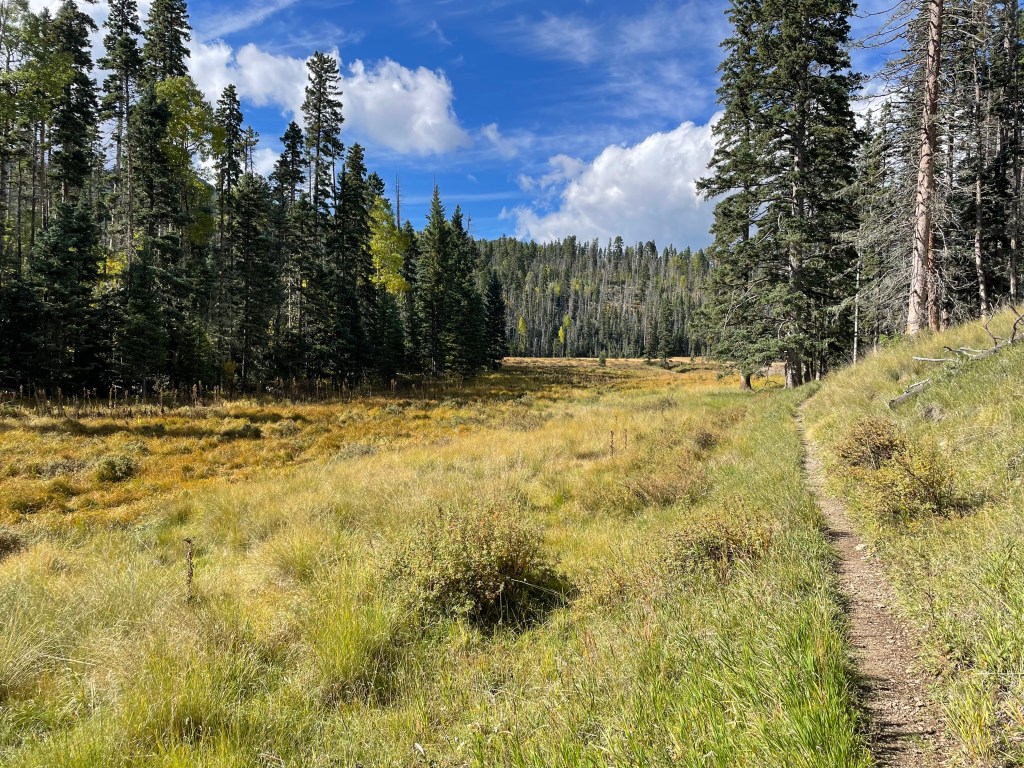
A little less than three miles later, I found a place to camp just before the Cave Creek Trail junction. This was my last night before getting off trail for a couple days to wait out the coming storms.
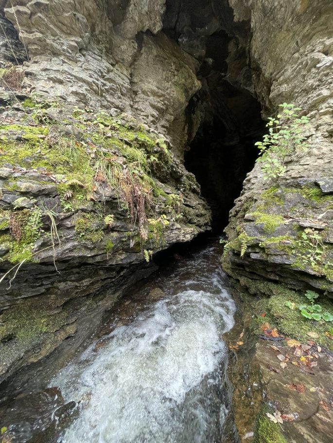
My final morning I only had about four miles to Panchuela Trailhead, but I was in full mosey mode. Cave Creek Trail has a large cave with Panchuela Creek rushing in to somewhere deep below the surface. I easily crossed the creek to at least check out the cave entrance. While the cave goes pretty far back, I’m not interested in exploring caves by myself. I also learned that parents don’t appreciate it when you send a message “Checking out some caves” via InReach with zero follow up. Oops… They at least agreed the cave is very impressive.
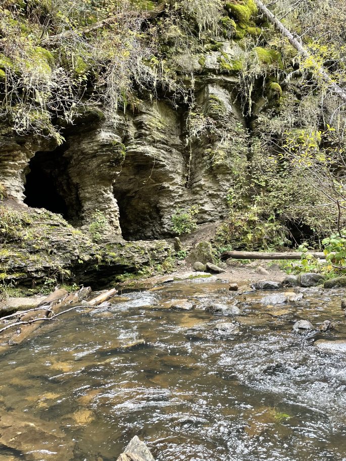
A couple miles later, I arrived at Panchuela Trailhead (8,321ft). The trailhead and adjoining campground was closed at the time to vehicles, so mom and dad walked up to meet me. One more mile later, we reached the car and were off to spend a couple days in Santa Fe.
While I always want to be out hiking, it was so fun to spend time with my parents in Santa Fe. We explored the plaza and I took care of some backpacking chores. We also watched it rain, and rain, and rain. I felt pretty good about my decision to leave the trail for a couple days.
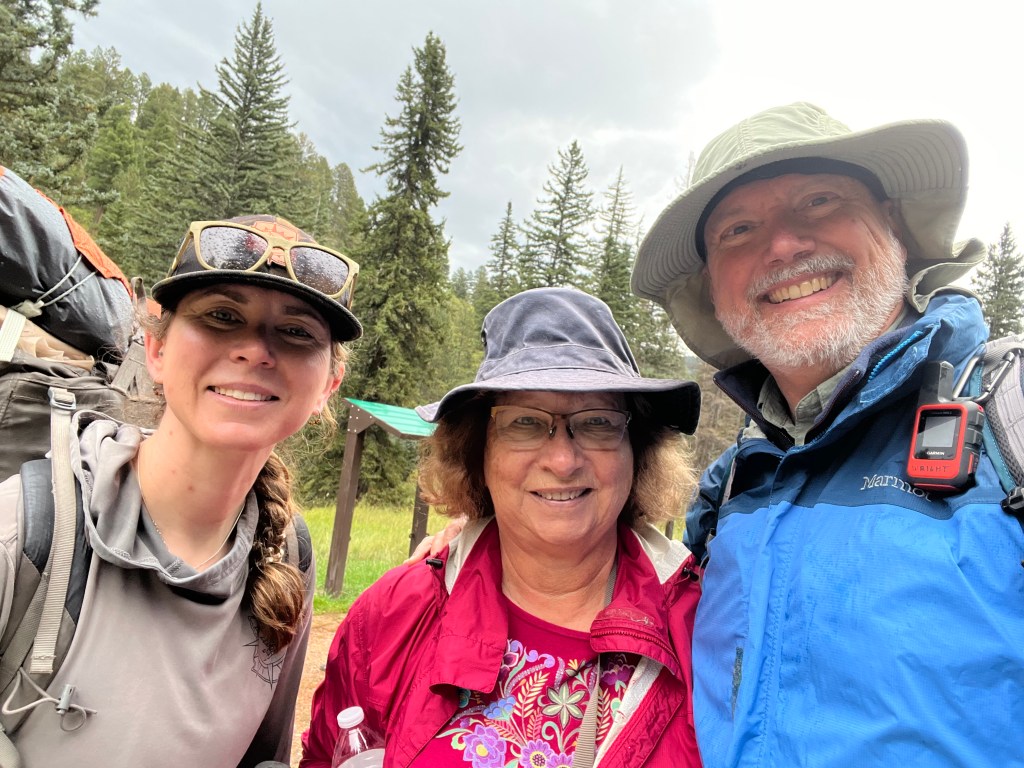
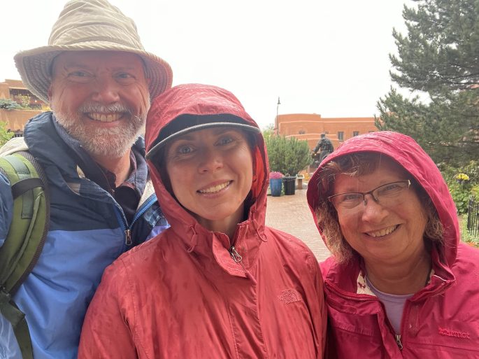
I hoped to go back to the trail sometime in the afternoon on my second full day off trail, but unfortunately the weather had other plans. I finally resigned to going back to the the trail after two and a half days and just seeing how far I could hike in my remaining time.
Starting back at Panchuela Trailhead, I had a little less than a mile back up to the trail. And of course the trail immediately started traveling upward again. Hooray. I climbed up through dense aspen forests occasionally broken up with meadows. I also walked through a lot of mud…at least there’s water everywhere…
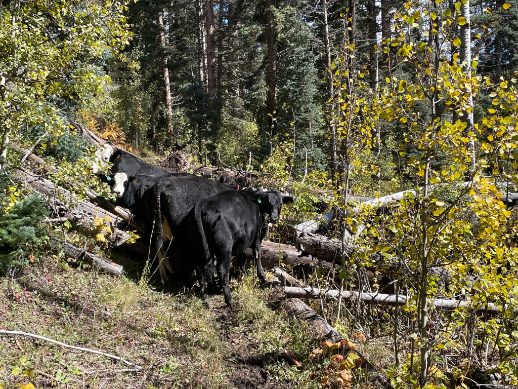
No backpacking trip in the southwest would feel complete without acquiring some cows. I herded several cows for about twenty minutes until they reached impassable blown down trees blocking the trail. This was a little too much for the cows to handle and they just corralled themselves for a couple minutes, but luckily another cow showed up behind us and called everyone back. Thank goodness because I was about to take the long way around through all the down trees.
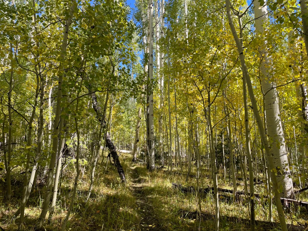
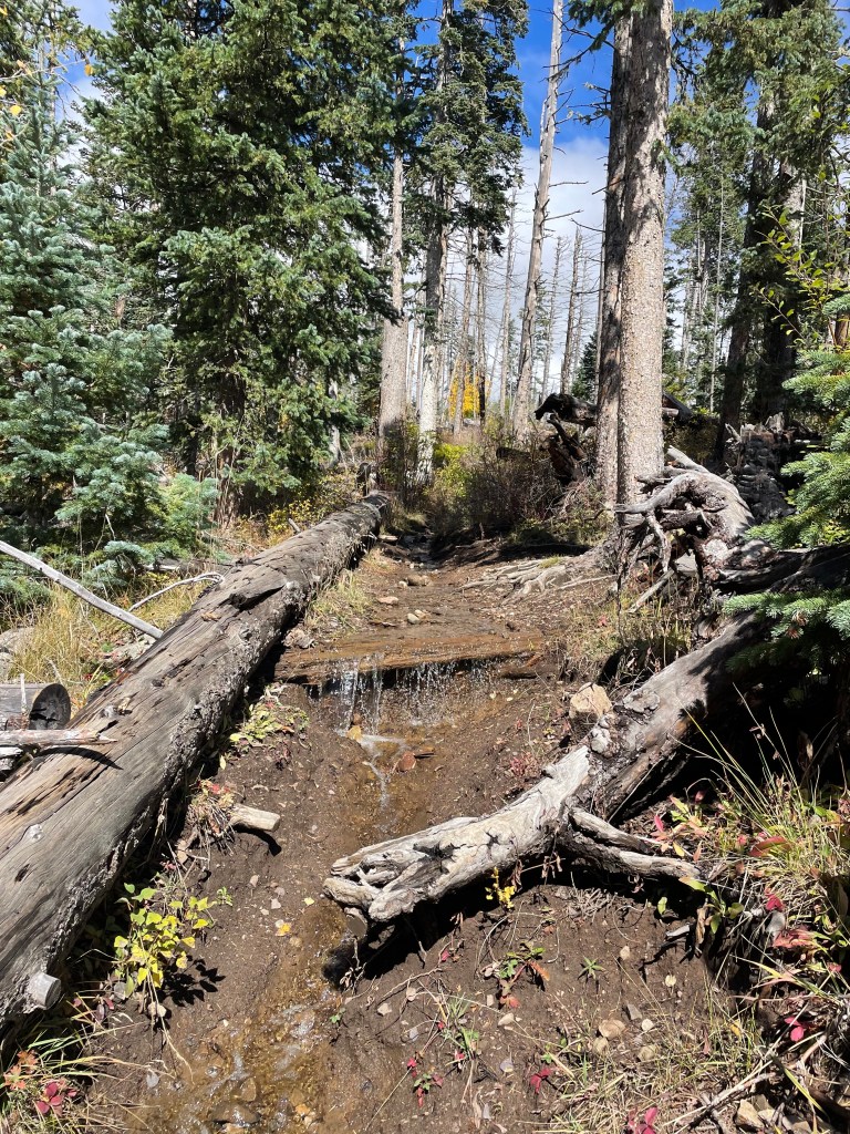
Soon the muddy trails turned into full on creeks. At first I tried to keep my shoes dry, but eventually just gave up and accepted wet socks for the rest of the day.
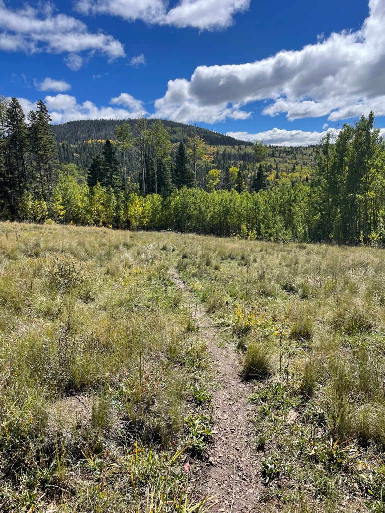
Eventually the trail reaches a burn scar from 2013, with snags as far as the eye can see. While beautiful views of fall colors were everywhere, the winds started to pick up once out of the trees. Around this time I think I received an InReach message from my parents saying the wind was howling on their drive up to Cimarron, NM.
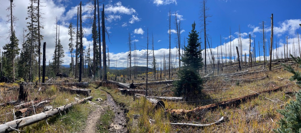
Luckily, I didn’t spend too much time in the burn scar. Still climbing up, I was starting to enter alpine country again. I took a quick detour to see Pecos Baldy Lake (11,420ft), only a quarter mile off the route. Shortly after passing the lake junction, small patches of snow started appearing on the ground.
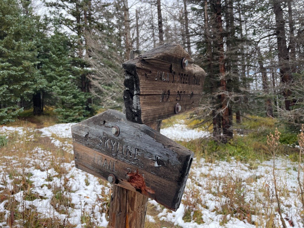
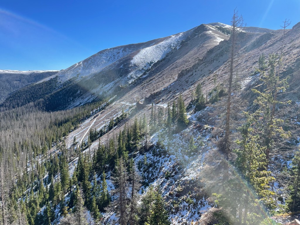
I thought the next part of the trail was the most spectacular. The “Trail Riders Wall” is a long, exposed mesa with the Truchas Peaks in the background. With very few trees in sight, naturally the wind really picked up at this point. Even though I knew no more storms were forecasted, it was a little ominous heading toward snow dusted peaks and dark clouds hovering overhead.
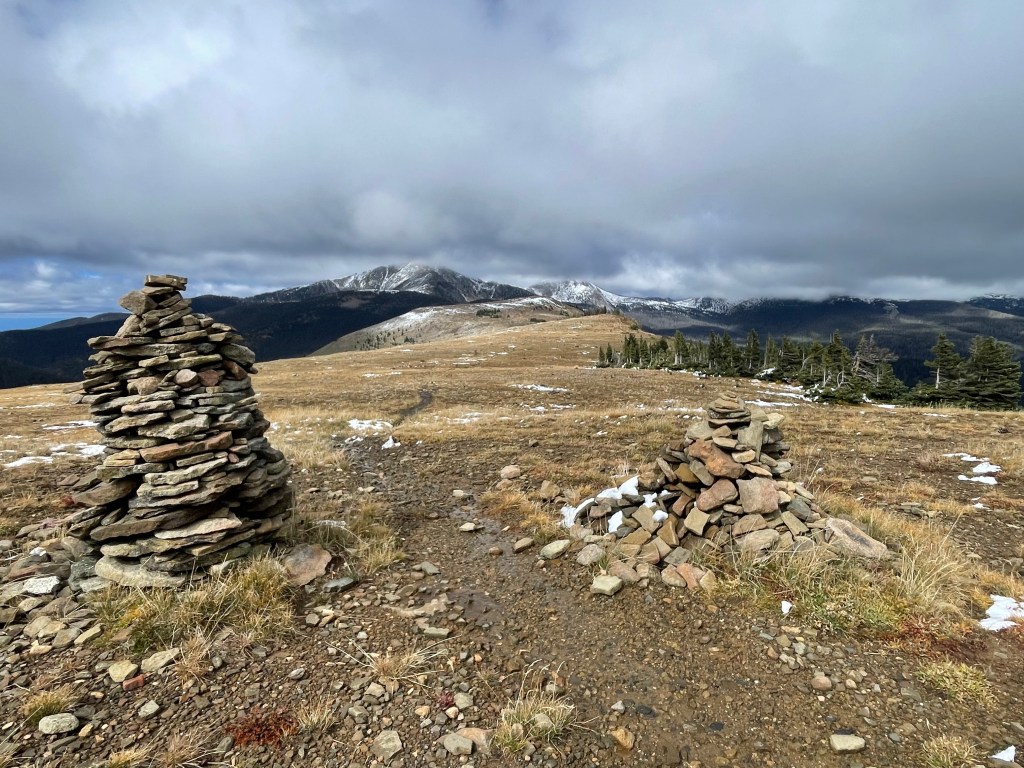
A couple times I briefly tried to take some breaks sheltered by isolated clumps of spruce trees, but I mostly just had to keep walking and hope I could find somewhere sheltered to camp for the night. Every now and then the sun would poke out before the clouds raced back.
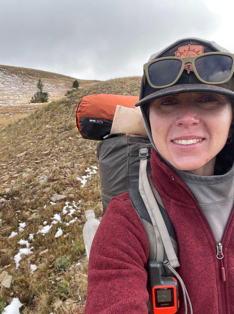
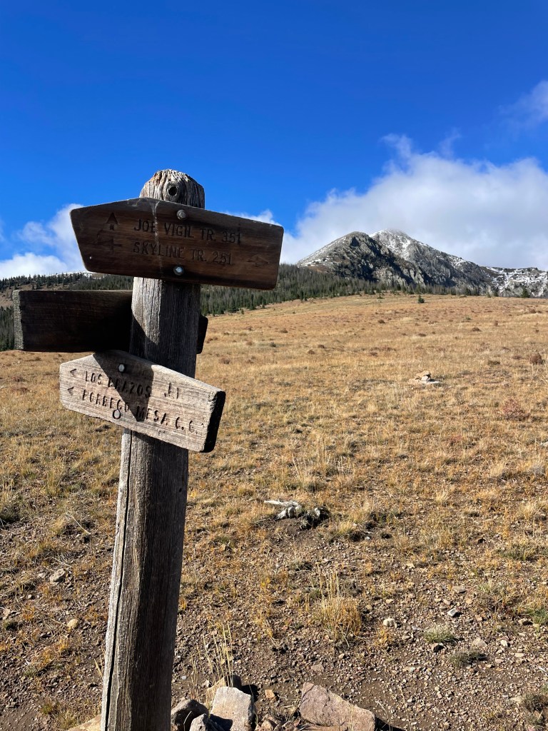
Once I reached the base of the mountains I was back in continuous trees and more sheltered. Thank goodness. My next step was trying to find somewhere with minimal snow to camp for the night. Even if areas were snow free, they had turned into lakes and creeks. My one upside was I finally spotted pikas squeaking from the rocks.
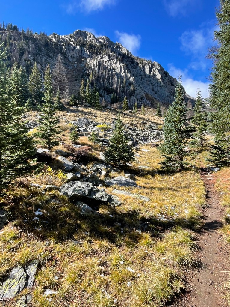
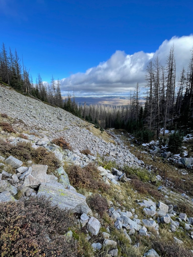
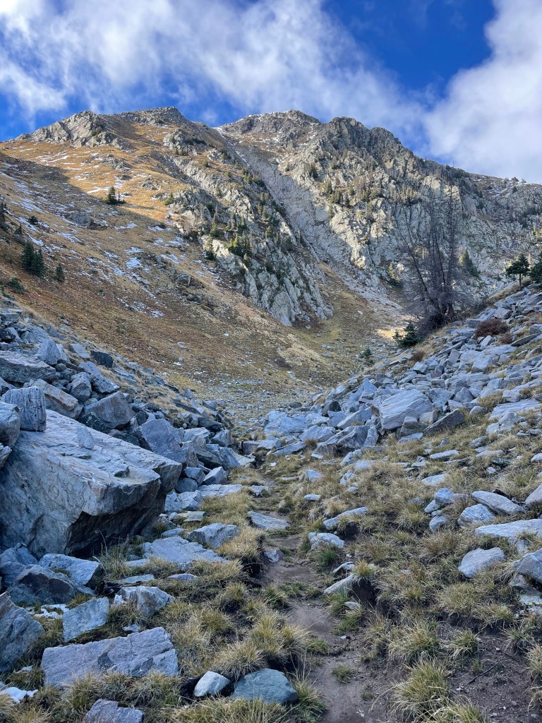
I knew I was approaching lower Truchas Lake, but I saw a few smaller lakes along the way. My favorite unnamed little lake sits nestled in among the large gray rocks. Even though I was eager to reach my end point for the day, I couldn’t help but stop to take in the details.
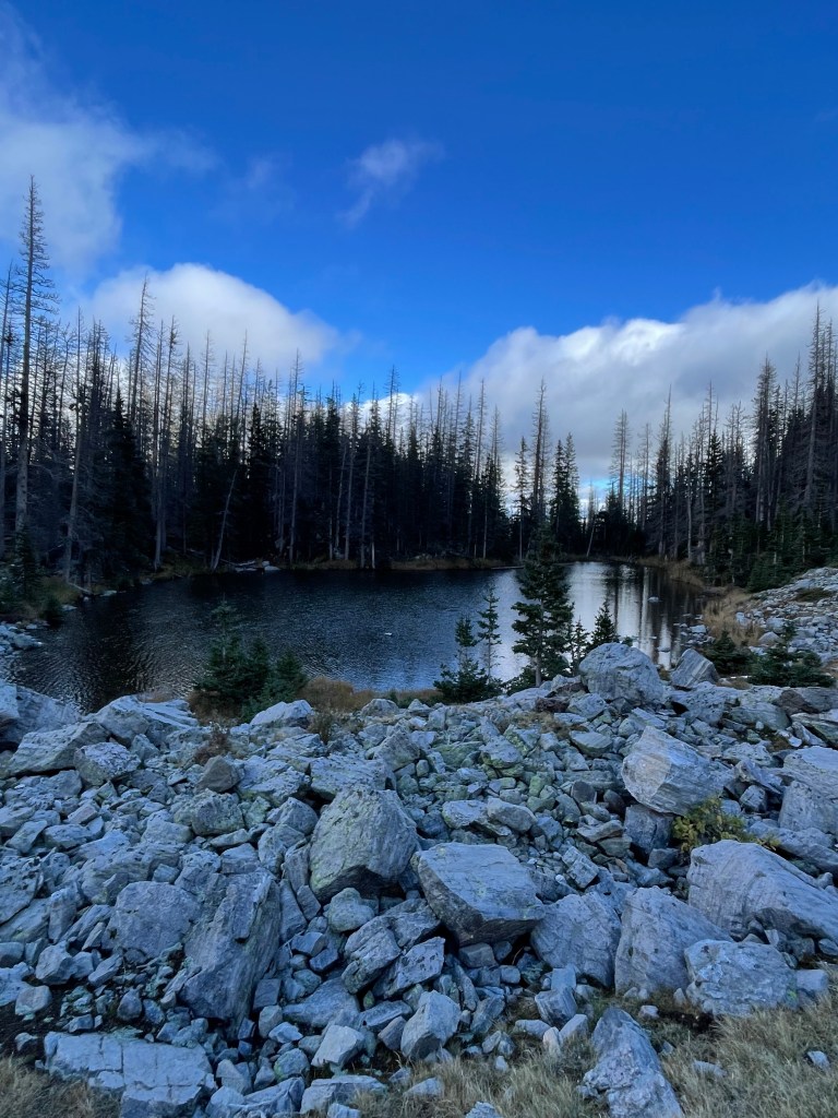
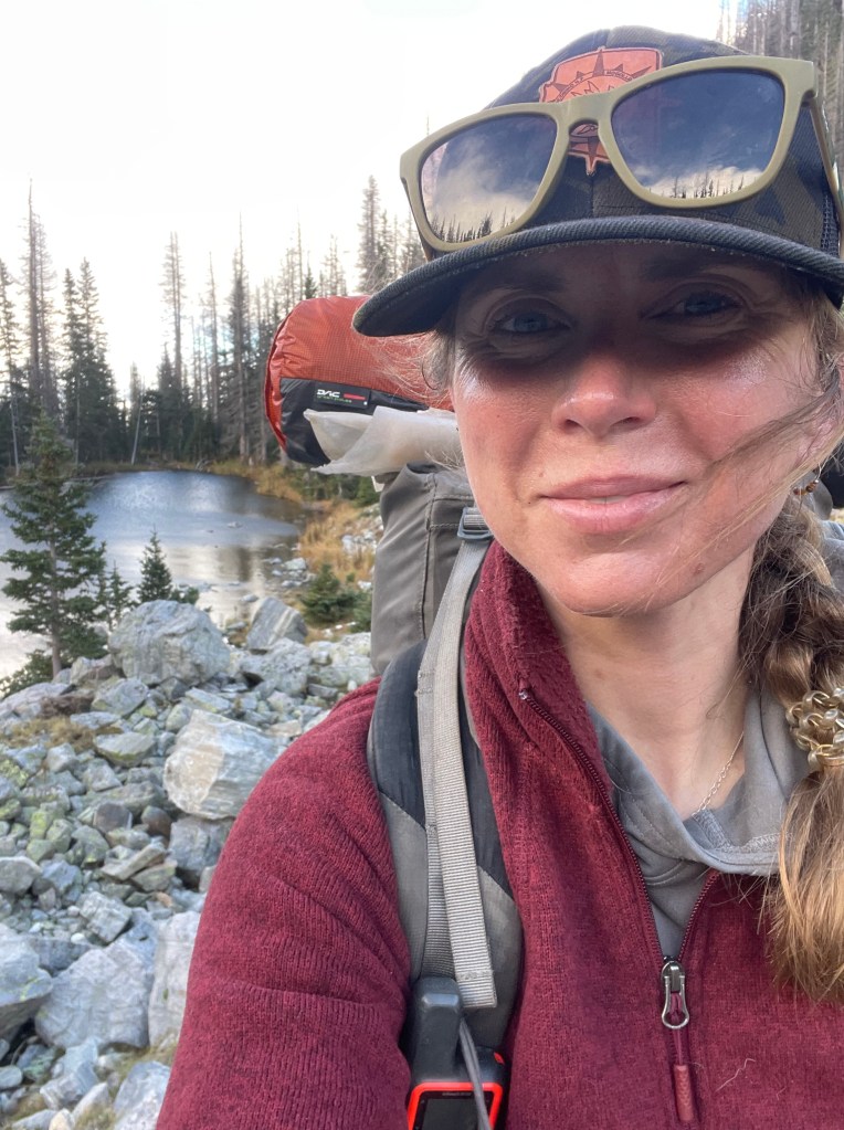
I knew there were some camping spots near the Truchas Lakes and I hoped I could find a snow free spot out of the wind. After looking and a little deliberation, I finally settled on a place away from from the lake and free of dead trees (or at least trees that were leaning towards my tent). I was a little worried I’d be really cold camping so high, but I surprisingly slept very warm.
The Truchas Lakes are also known for sightings of Big Horn Sheep. While I was hopeful to see one, this trip wasn’t the time.
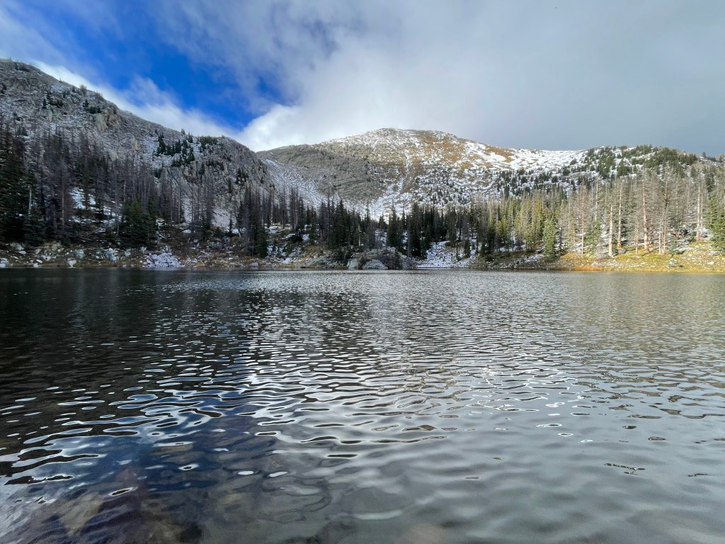
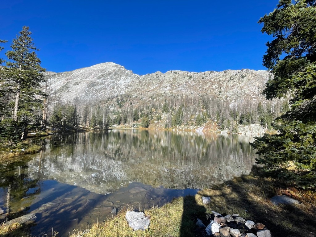
The next morning, I made some adjustments to my plan. The regular route takes hikers over the Santa Barbara Divide and into Santa Barbara Campground. Before deciding to come off trail for a couple days, I was going to use the campground as a resupply location. Since I resupplied in Santa Fe, I was going to bypass the campground via the Divide Trail to reconnect back to the route north of the campground. After spending all day in the wind and knowing I’d be well above 12,000ft most of the day on the Divide Trail, I opted to stick to the original route.
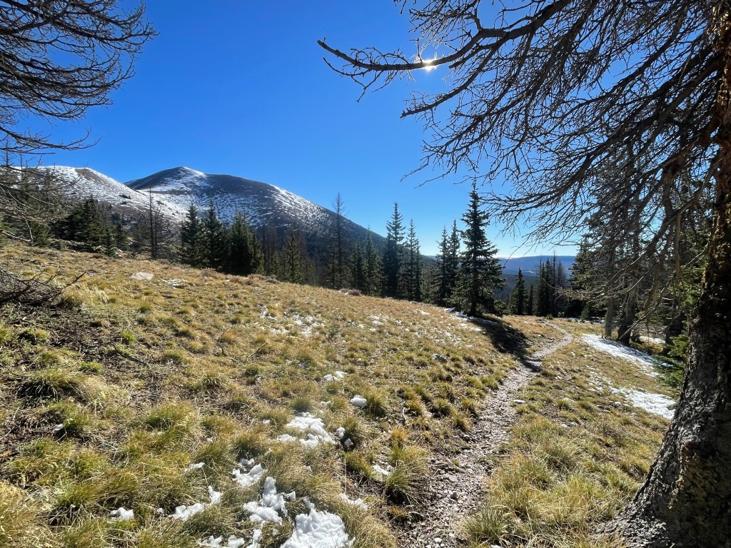
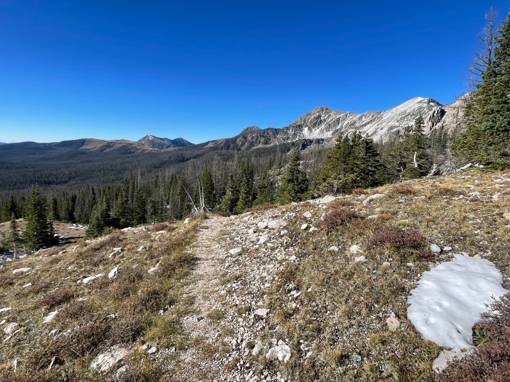
But I would still have to climb to 12,000ft to go over the Santa Barbara Divide. The views were well worth the climb. With all the clouds finally gone, I had a crystal clear 360 degree view.
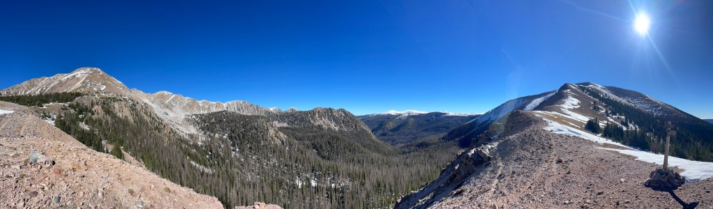
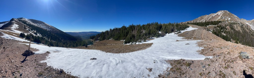
Having not seen anyone since I started the day before and twelve miles away from the campground, I assumed I wouldn’t see anyone for awhile, if at all, that day either. I was very wrong. About fifteen minutes into descending the other side of the divide, a young man was climbing up the switchbacks, saying he came from the campground that morning. Eventually I saw a children’s field trip, multiple groups of day hikers, one dog taking his owner for a run, three people going backpacking, and one angler trying his luck in the racing Rio Santa Barbara. At least New Mexicans never waste a sunny day!
The switchbacks down were steep, but the snow was fairly minimal. I spent most of the morning jumping over fallen trees and splashing through impromptu creeks.
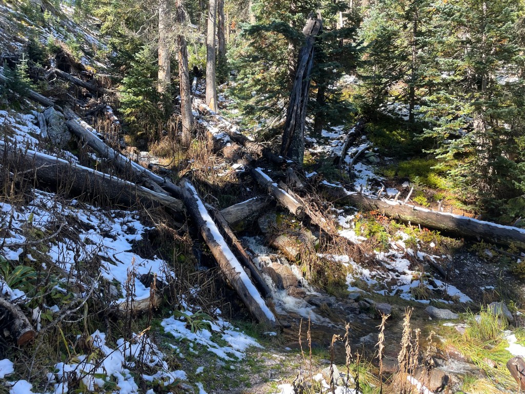
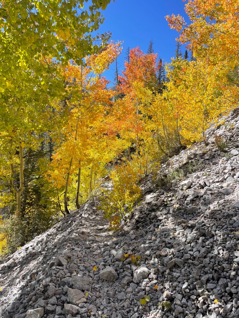
As I went down in elevation I started hiking through vibrant aspens in full fall color. I started jumping actual creeks, flowing swiftly to meet the Rio Santa Barbara. I could hear myself getting closer to the river, I just couldn’t see it yet through all the fall leaves.
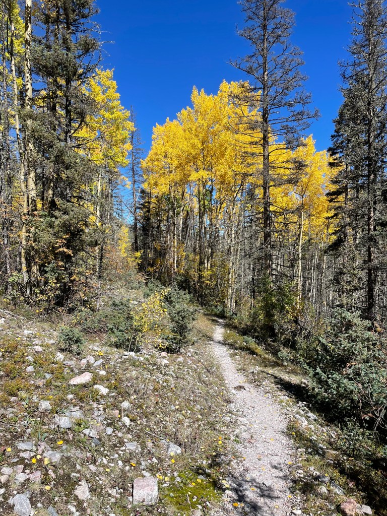
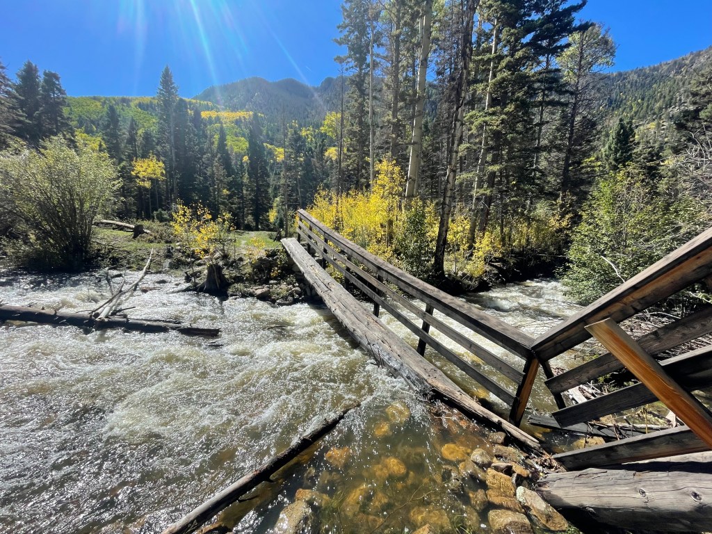
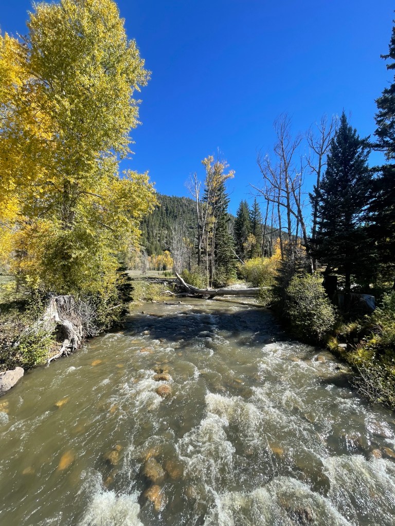
Once the trail reached the bottom of the valley, it pops out of the trees and starts meandering through a giant meadow. I crossed the Rio Santa Barbara for the first time, the water coming up to about my mid shins. The guy I met near the top of the divide told me this crossing wasn’t that deep, but he made the second crossing seem much deeper (three forks of the river meet at this second crossing). He’s quite tall and said water came up to his mid thighs. A washed out bridge is at the second crossing, but I wasn’t counting on it being a good crossing option (I also just assumed it wasn’t there anymore). I decided I’d just see what the river was like further down and go from there.
Shortly after eating lunch and drying my socks, I started seeing a few more people out on the trail. They all looked suspiciously dry (I was only a few miles my second river crossing), so I figured I would make it. I passed one of the groups heading back to the trailhead from their day hike shortly before arriving at the river a second time. The bridge is definitely out, but still stretched across the river. The water was racing right below it though and it didn’t look securely connected on either side. I found a section of the river that didn’t look as deep or swift, and crossed there.
While certainly swift, the water only came up to my knees. Regardless of the depth, I still unbuckled/loosened my pack and used my trekking poles to keep multiple contact points at all times. It doesn’t take much for a river to knock you over and you want to be able to get out of your pack quickly!
I took a moment to enjoy the river and dry my socks (again). The day hikers appeared at the river a little while after and used the bridge to cross. I guess it looked alright (no one went in the river), but I stand by decision to stay off the bridge.
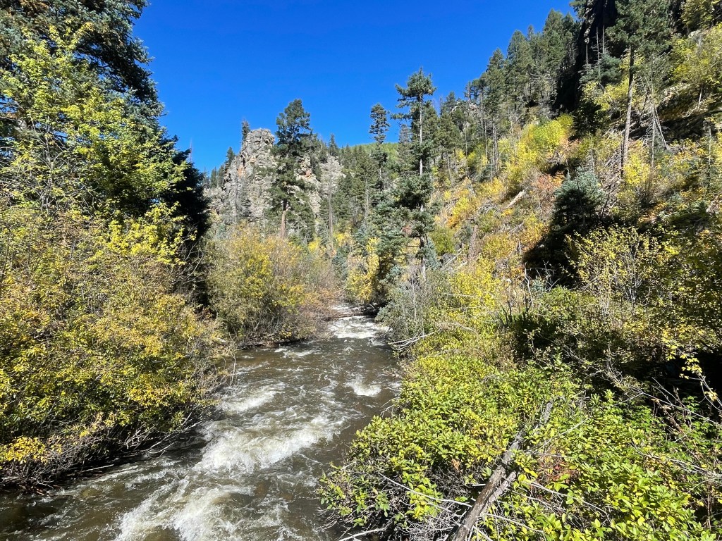
Shortly after leaving the river, I came across anyone and everyone out enjoying the beautiful day. As I approached Santa Barbara Campground a few favorite signs caught my eye.
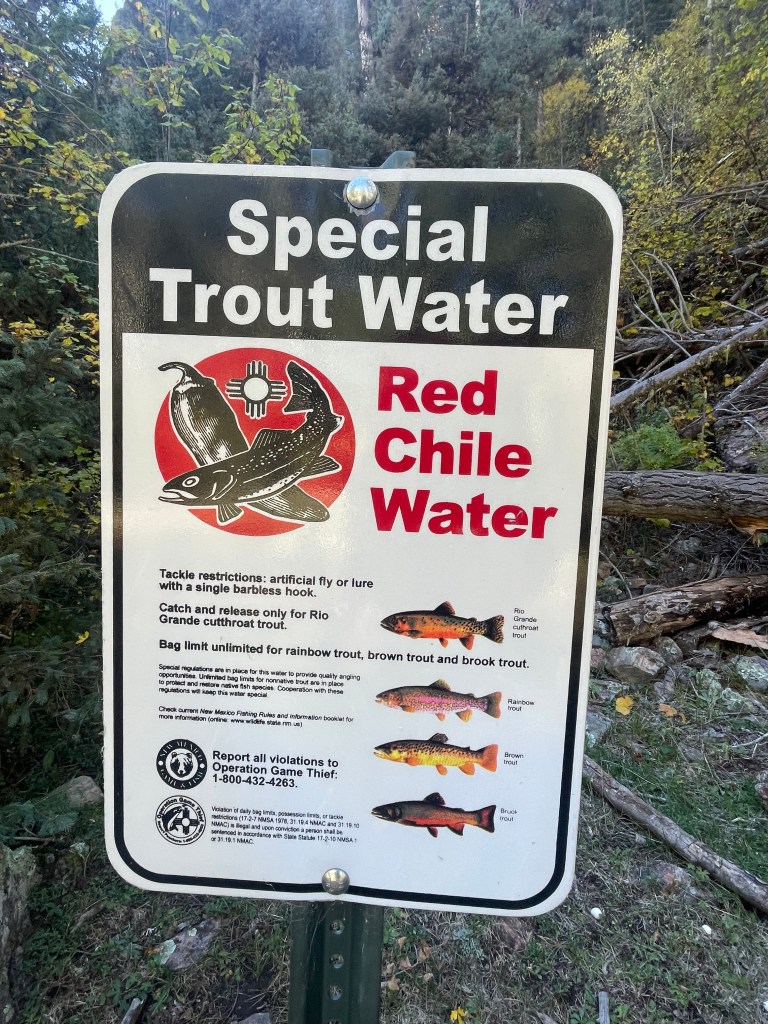
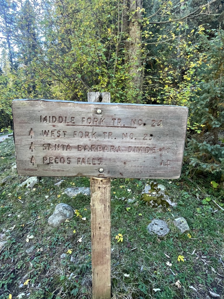
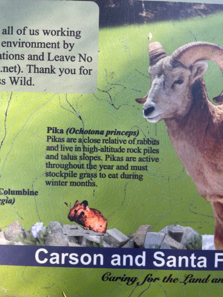
I finally reached Santa Barbara Campground (8,900ft) and briefly hiked down the road. I had to cross the Rio Santa Barbara for a third time to access the Indian Creek Trail. I was preparing for another round of wet socks, but then I spotted some large down trees up river I could use to cross.
The Indian Creek Trail is much steeper and a little more overgrown. After cruising along all day, I suddenly felt exhausted. The original route follows Indian Creek Trail up to the junction with the Divide Trail, but trail conditions are reportedly very rough. Not interested in confirming “very rough” trail conditions, I took the Comales Trail alternate instead. More a road than a trail, and still steep, at least the steps were easy. I hoped to make it to the top of the climb before camping, but I found a nice spot tucked away in the trees and decided to call it a day.
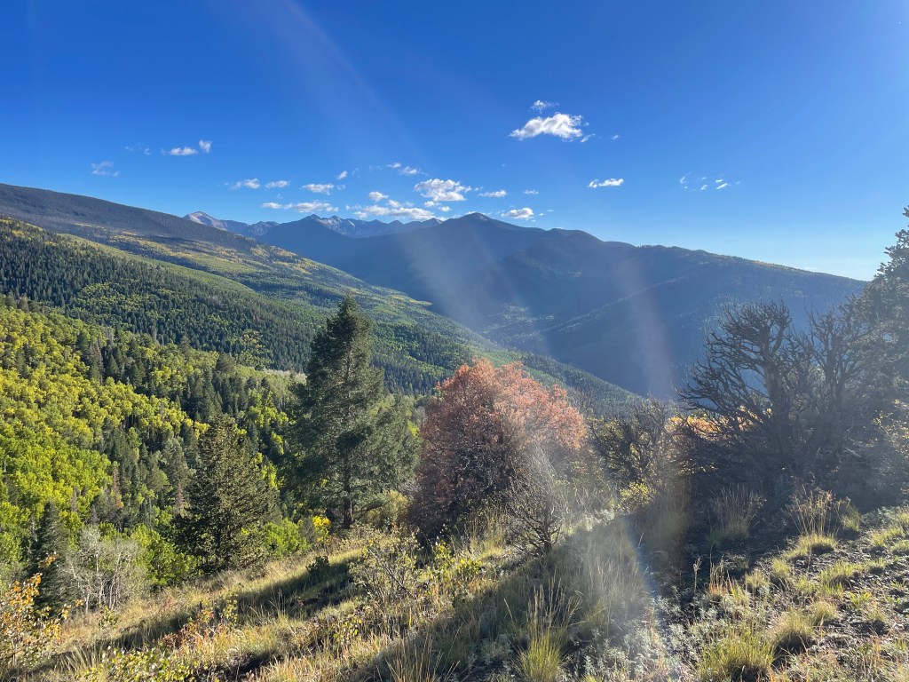
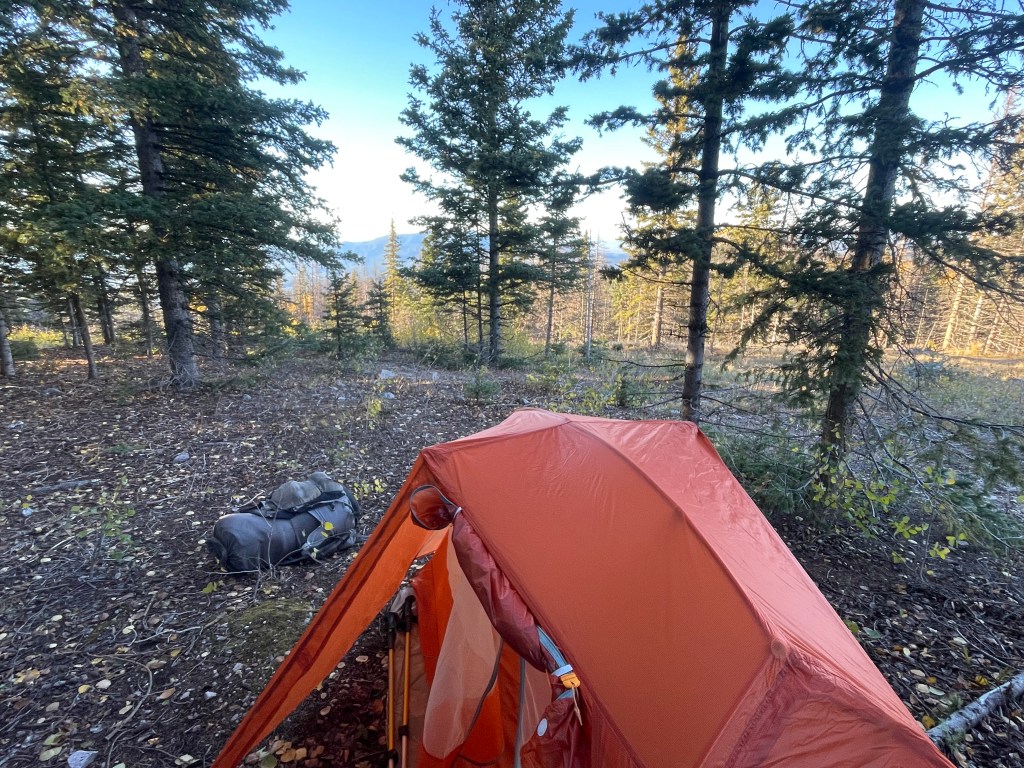
My last day, I had about seven miles to my pick up point at Auga Piedra Campground. I finished my climb up to the saddle right below Ripley Point (11,675ft). And of course, I immediately started heading down again.
I passed by Los Esteros, a small lake I originally planned to camp at, but I prefer the spot I picked the night before. From there I was cruising downhill.
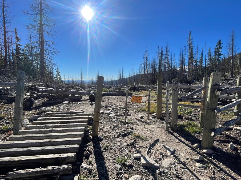
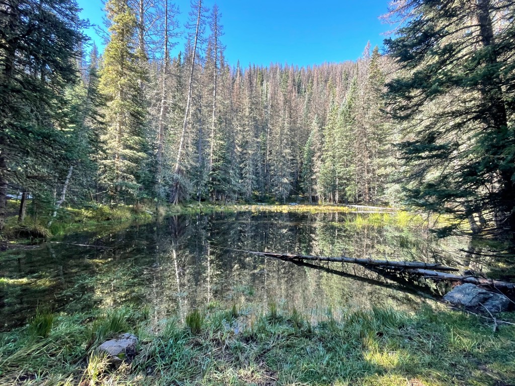
The rest of my day was more beautiful fall colors, endless creek crossings, and more toppled trees. These down trees are from the Calf Canyon burn scar, a fire I worked on in 2022. In some spots, trail crews cut out the trees because they are so jack strawed.
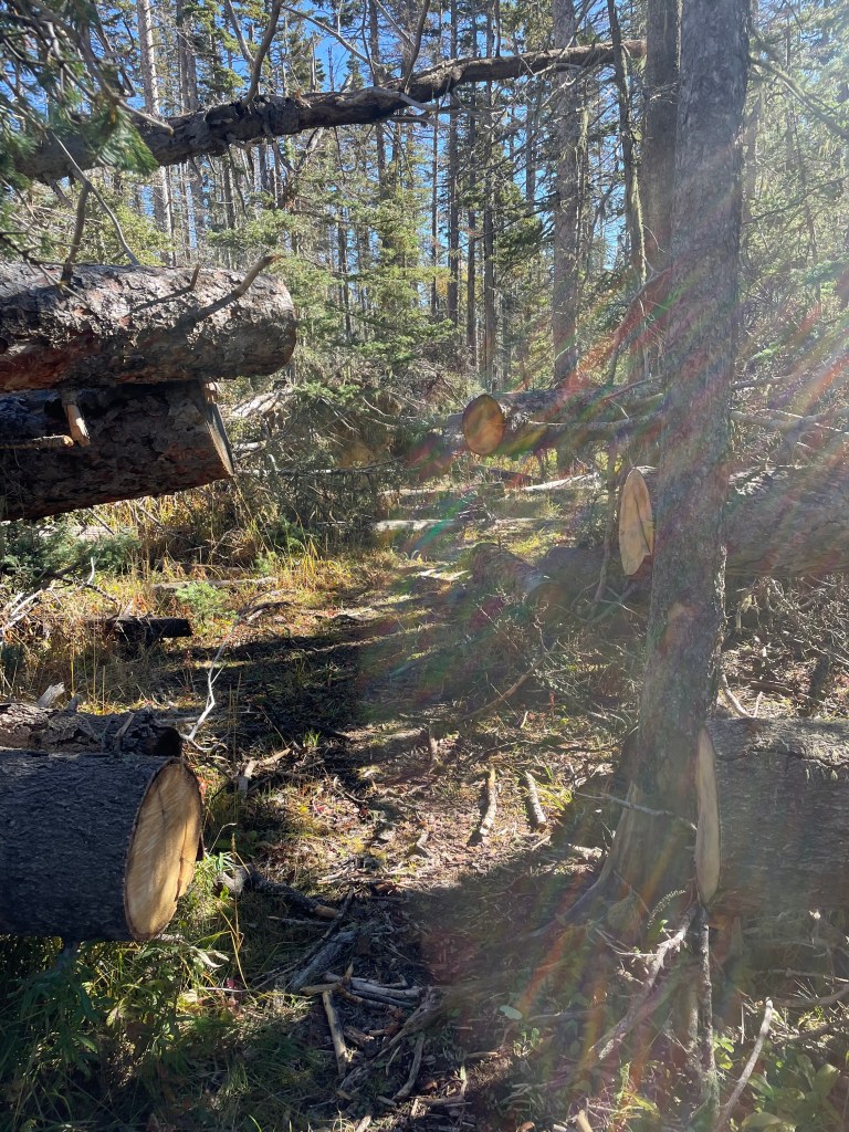
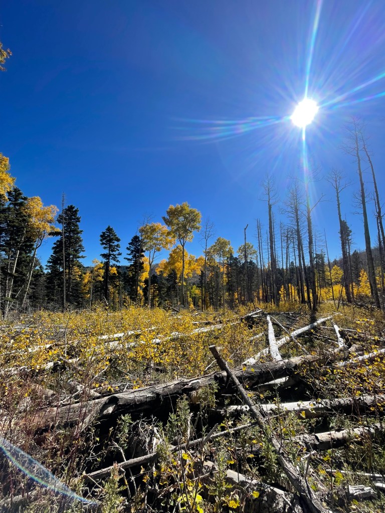
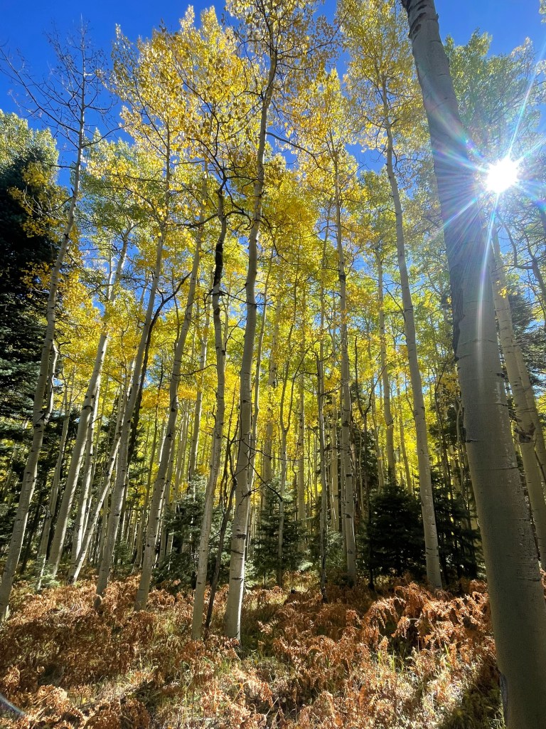
Late morning, I arrived at Auga Piedra Creek. A few miles and couple creek crossing more and I would arrive at the campground. Honestly, my trip wouldn’t feel complete without one more morning of wet shoes and socks.
My trip ended at Auga Piedra Campground (8,100ft) and it is beautiful. Sitting in a giant open meadow, off NM-518 and surrounded by mountains, it would be the perfect campground to enjoy a book for the day. After six days of hiking (four full days and two half days) and about seventy-five miles, my trip was at an end. Just after noon my parents arrived from their last morning of adventuring up in Taos.
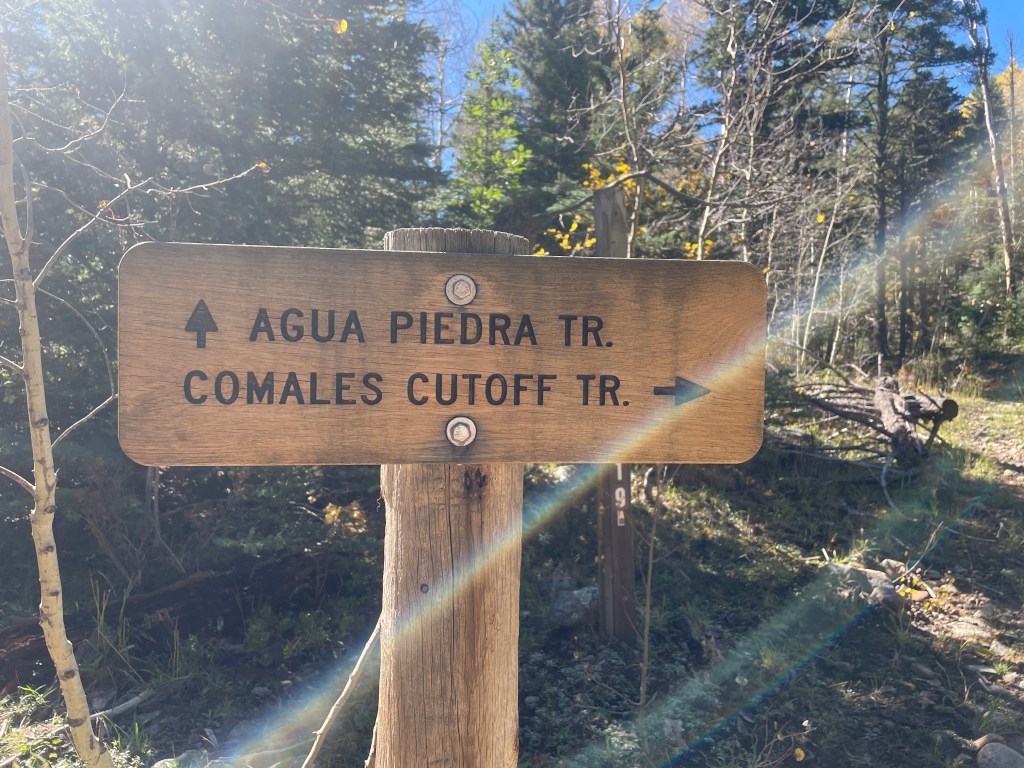
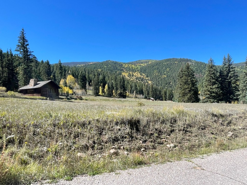
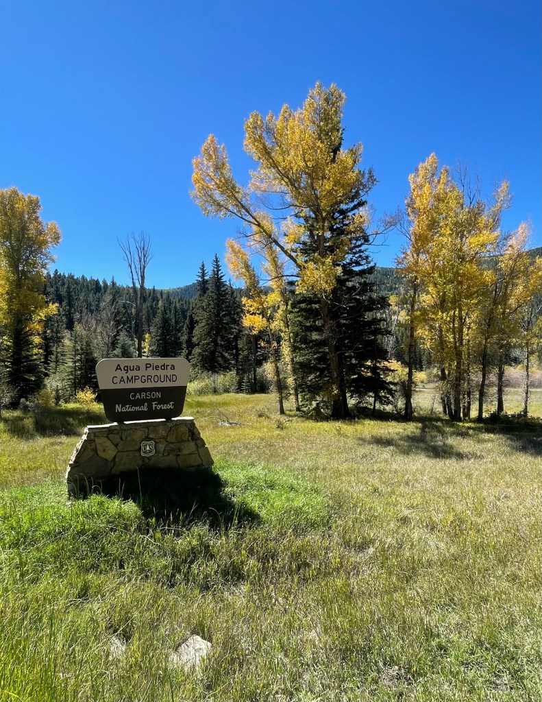
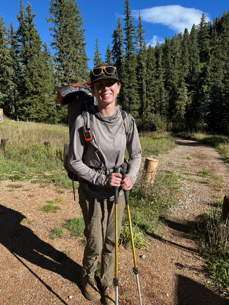
From here the trail continues briefly on NM-518 to Tres Ritos and then up La Cueva Canyon. That will be an adventure for another time though. While the two and a half days of storms kept me from completing the entire route, I loved every bit of my trip. Lower mileage days allowed me to slow down and enjoy my campsites. Usually I’m hiking right up until sunset and hoping I find a place to cram a tent.
New Mexico is absolutely stunning and a solo backpacking trip is good for the soul. When I try to think of other words to describe this trip, “enchanting” is what continuosly pops into my mind, but sometimes even that doesn’t feel adequate enough. How else do you describe a place with so much detail, color, perspective, and life? Enchantment might feel different to everyone, but at least we can probably all agree it’s something that feels like magic. And something that feels like magic can probably never be truly explained with words anyway.
With so many trails to hike and places to visit (enchantment to discover), I’m sure I won’t just be back for one more trip to finish the route.
It was also pretty fun to visit Santa Fe with my parents and have a mini vacation with them in the middle of the trip. For all the worrying (which they’re allowed!) they have really taken my adventures in stride. “Ok, so tell us about what you’re planning…” At least they know the planning will never stop, and I love them for that.
We’ll see what’s next for a backpacking trip. I really want to do a short Hayduke section before the winter months, but all the rain might put that on hold. Not only is my section hopeful in a canyon, but there’s quicksand…so we’ll see what happens. Either way, there will always be another adventure soon!


Great job Elizabeth!
LikeLike